Date: 10/29/21
Miles: 22.7
Total Miles: 493.4
Along with two other hikers, we rode along in the car of trail angel MJ, watching the comforts of Superior shrink out the back window on our way back to the trail. Another zero day gone in the blink of an eye, it was back to the work of shrinking the distance between us and Mexico.
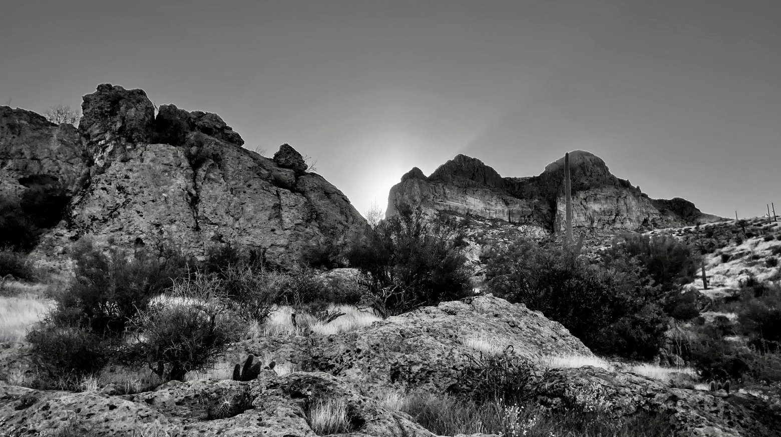
Through—you guessed it—yet another burn area, the terrain seemed to shift in ways obvious to the eye but difficult to describe. The rocky bluffs above the trail became more muscular, painted in a deeper shade of red. Canyons larger and more dramatic. Saguaros and their skeletons seemed to be everywhere, in all manner of shapes. And far in the distance, a massive flat expanse punctuated by tall mountains that are undoubtedly our future.
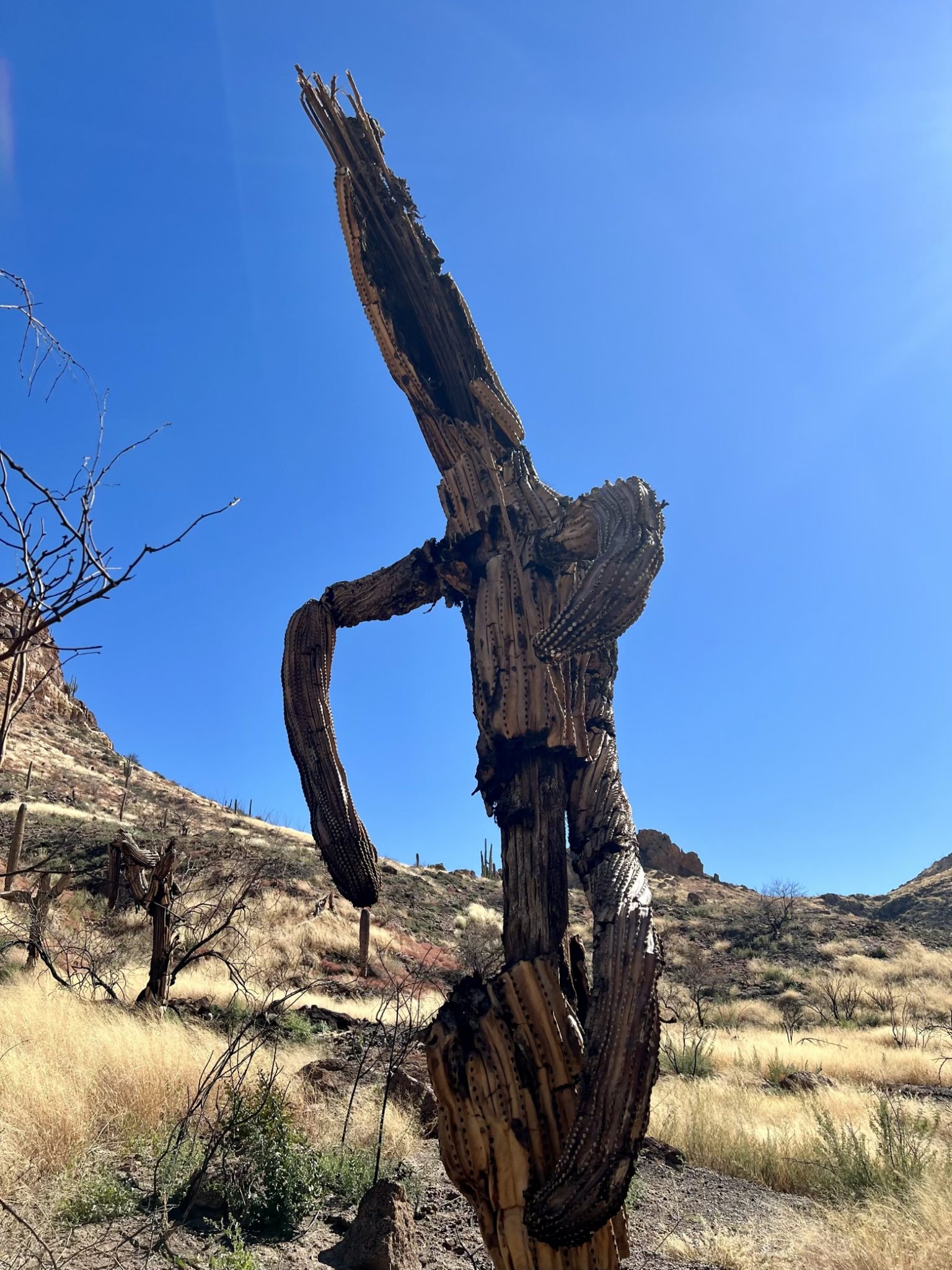
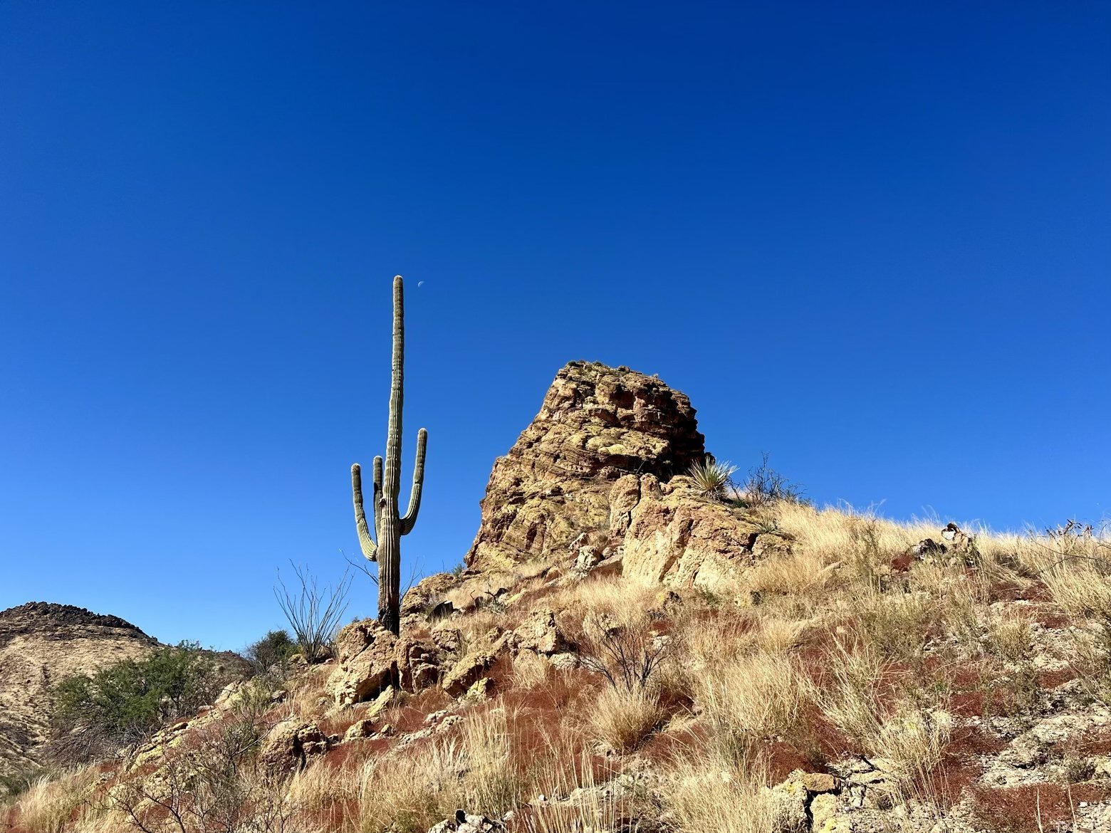
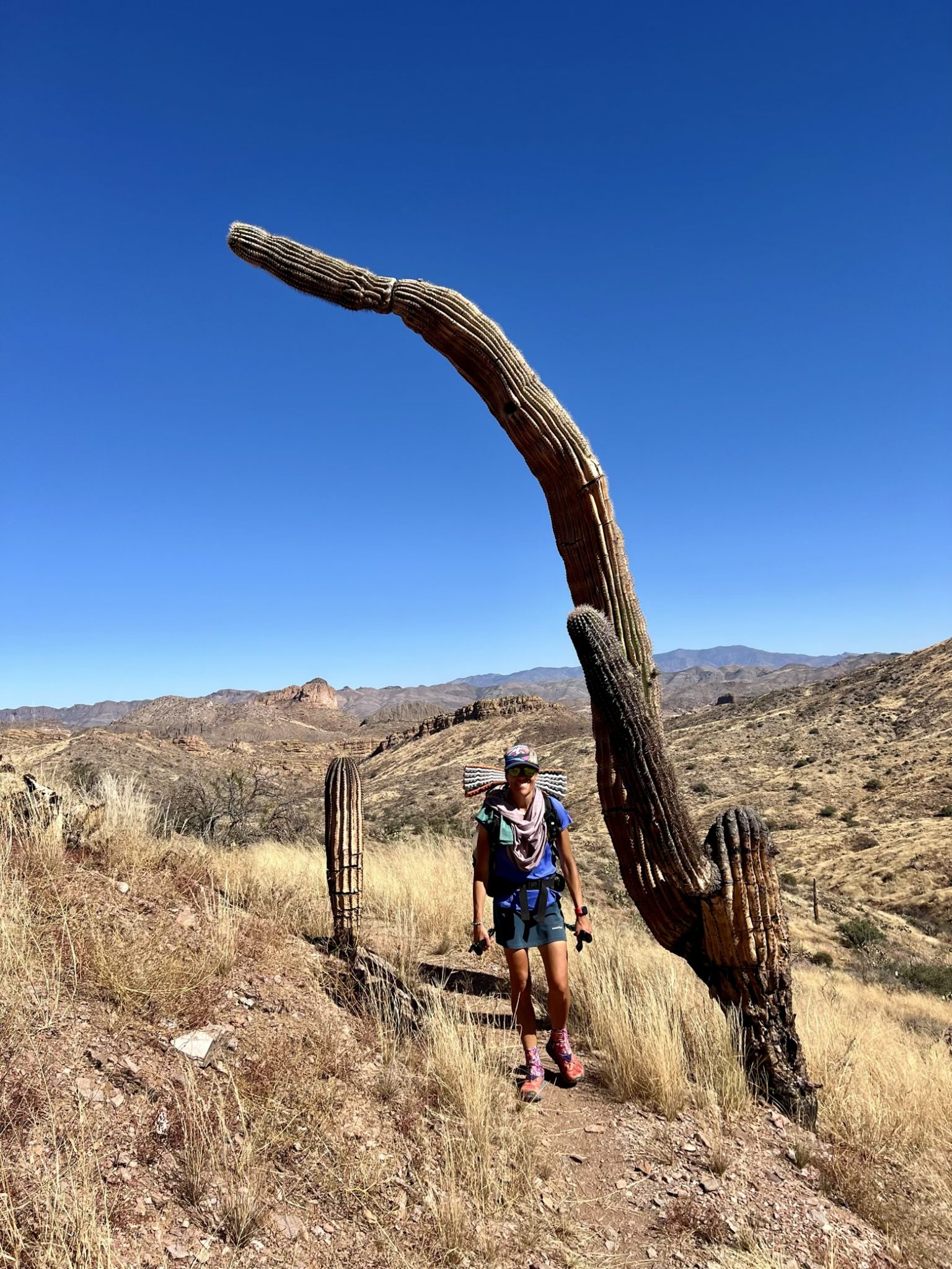
Hidden from the trail around a small grassy knoll was something that looked more like a spaceship than anything else. In fact, this spaceship was nearly just that considering it instantly transported us to a land far far away—one that had both shade and hundreds of gallons of cool clear water.
An installation of the Arizona Trail Association, this otherworldly structure is actually an ingenious rainwater collection system that provides drinking water for trail users in a stretch that is otherwise fairly devoid of water sources.
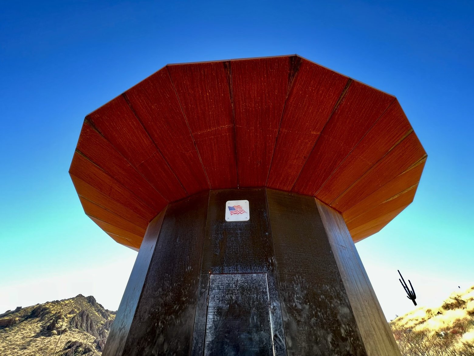
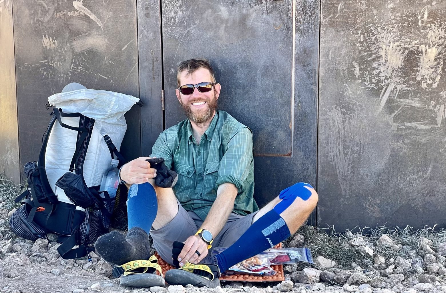
Without any natural shade to be had for miles, sitting against the rainwater collector during the heat of the day was blissful, so much so that I did everything I could to stretch out our lunch break for as long as possible. But like it or not, we ultimately had to face the sun that seemed to take a particular glee at the prospect of bombarding us with its unobstructed rays.
Leaving the comfort of the collector, the steps that had tilted up now began to tilt down on a lengthy descent to the banks of the Gila River, which we’d last seen almost exactly a year ago today.
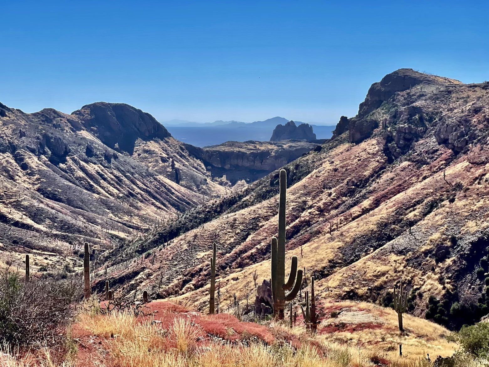
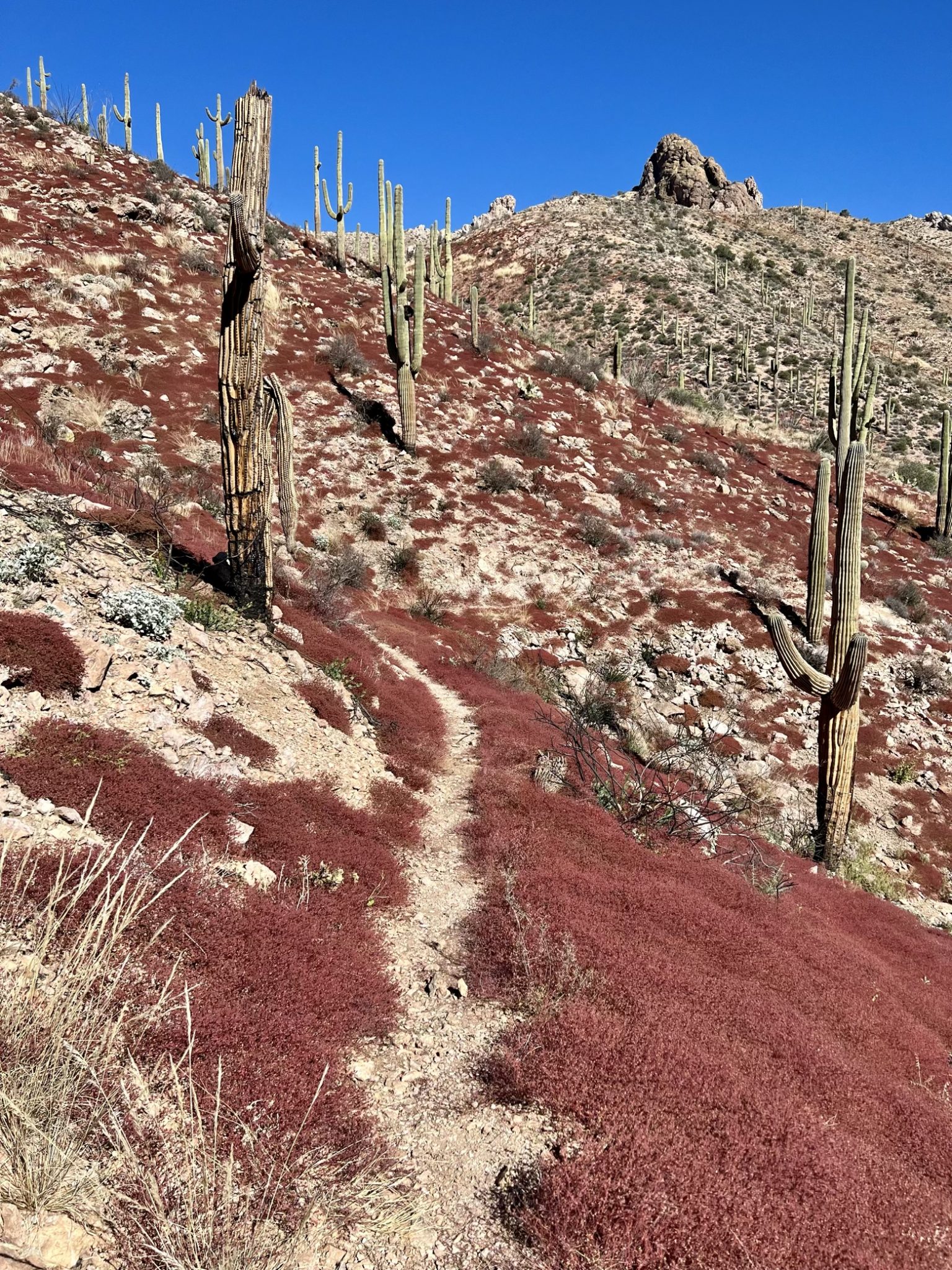
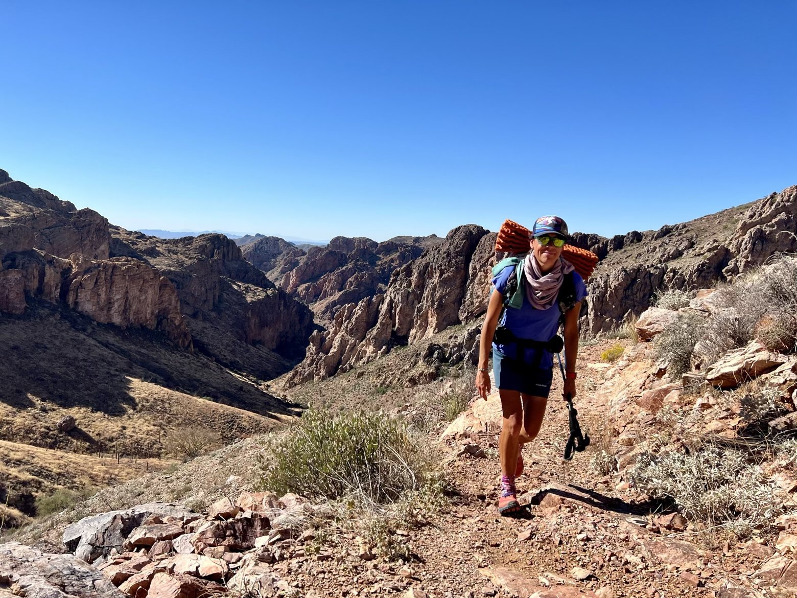
With each twist and turn of the trail, the promise of shade drifted ever further away from us like a carrot that was always just out of reach. When it looked as though we’d have even just a few steps out of the sun’s watchful eye, the trail would invariably switch to the opposite slope of the canyon ensuring that shade would continue to be the most elusive of commodities.
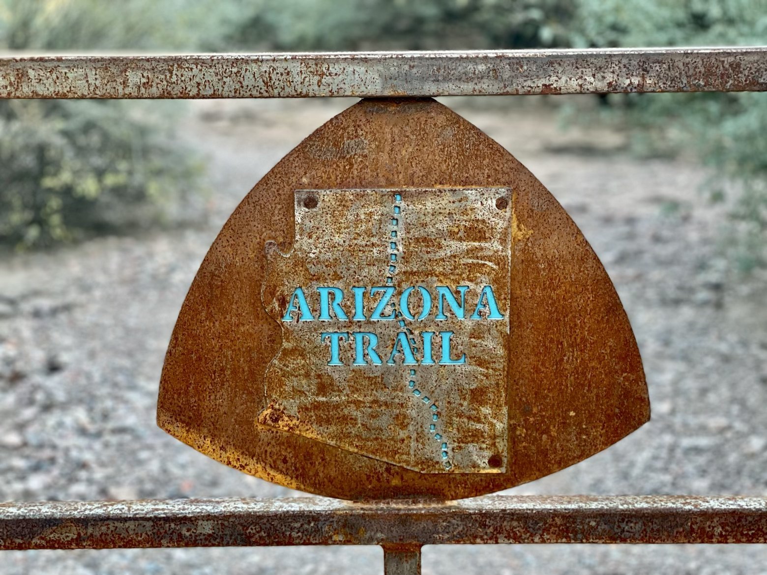
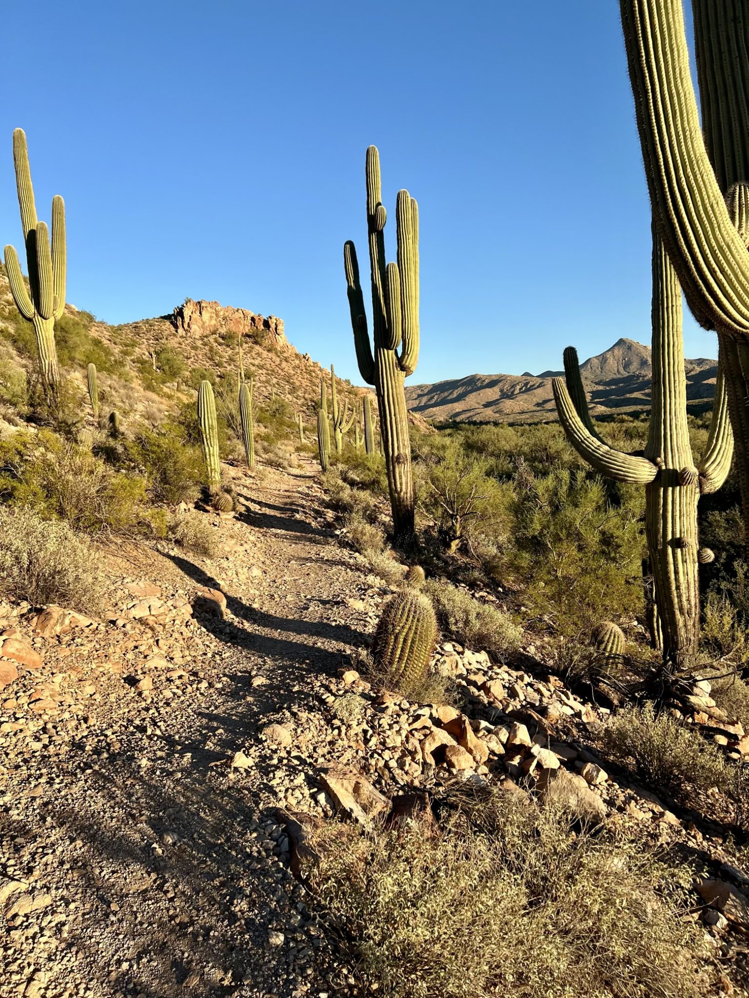
As the late afternoon sun dropped behind the nearest mountain, we finally arrived at the Gila River, flowing gently along amid thickets of velvet mesquite. Moments before, a trailside post announced that we had reached the literal nadir of the entire trail, at little more than 1,600 feet above sea level. I guess you could say that it’s all uphill from here.
Latitude/Longitude: 33.10469,-111.11837
