Date: 8/31/21
Miles: 19.3
Total Miles: 2556.0
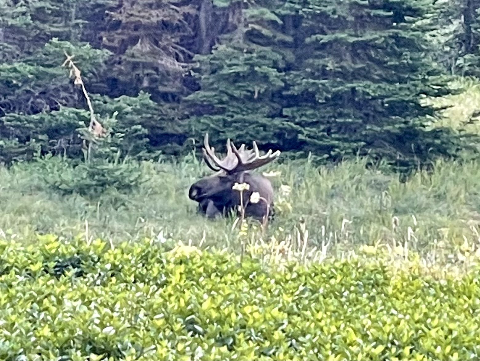
Truth be told, I’m running out of superlatives. Another day, another pass, another dazzling display of mountain pornography that almost defies description. Before we even began any of the hard work of climbing our way back into the high country, I had to rub my eyes to make sure I was seeing accurately the massive shape nestled in the grass 50 yards off the trail. Lounging there was an enormous bull moose with antlers broader than my wingspan. He sat patiently for his portrait as Beardoh and I snapped the shutter.
Then it was up. Shrubs became grasses which became granite as the line between sun and shade slowly crept its way down toward us. A cold breeze gusted periodically the higher we climbed, but the rays of the morning sun that had set the granite bands awash with light was just enough to offset it.
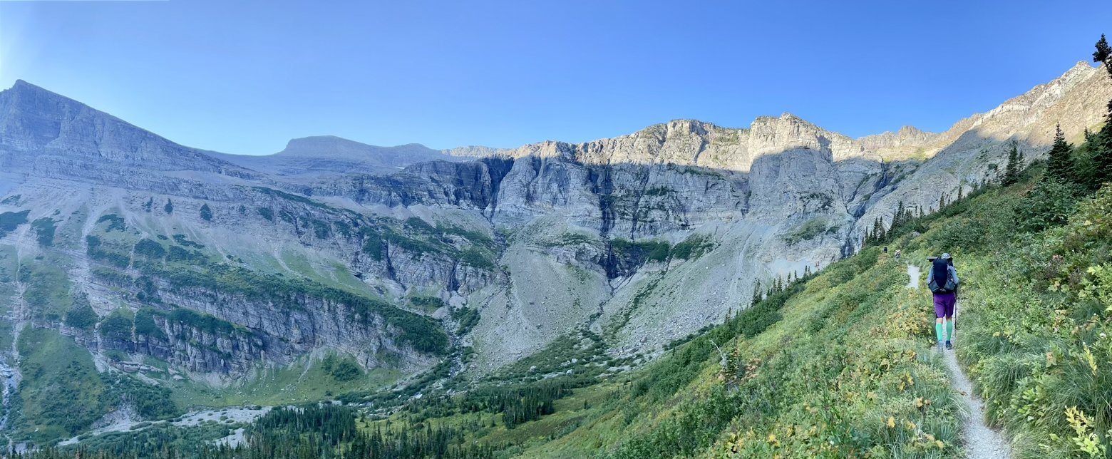
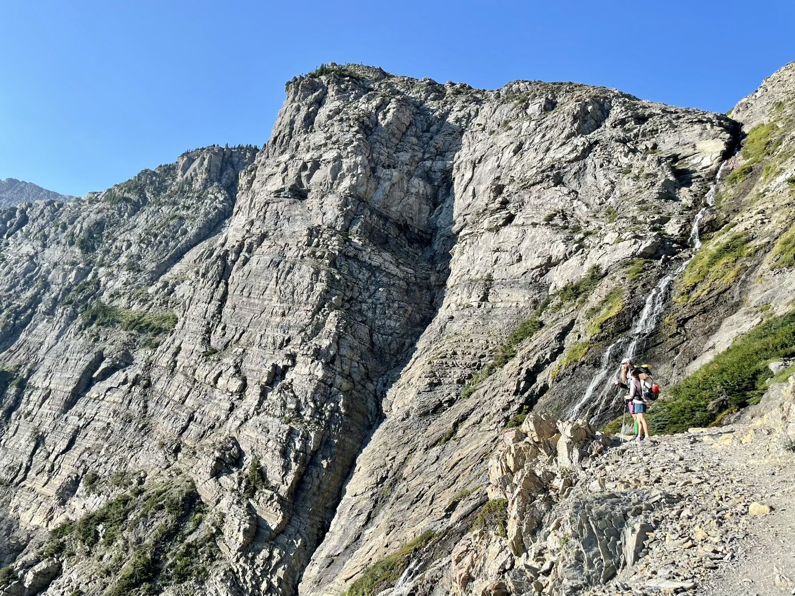
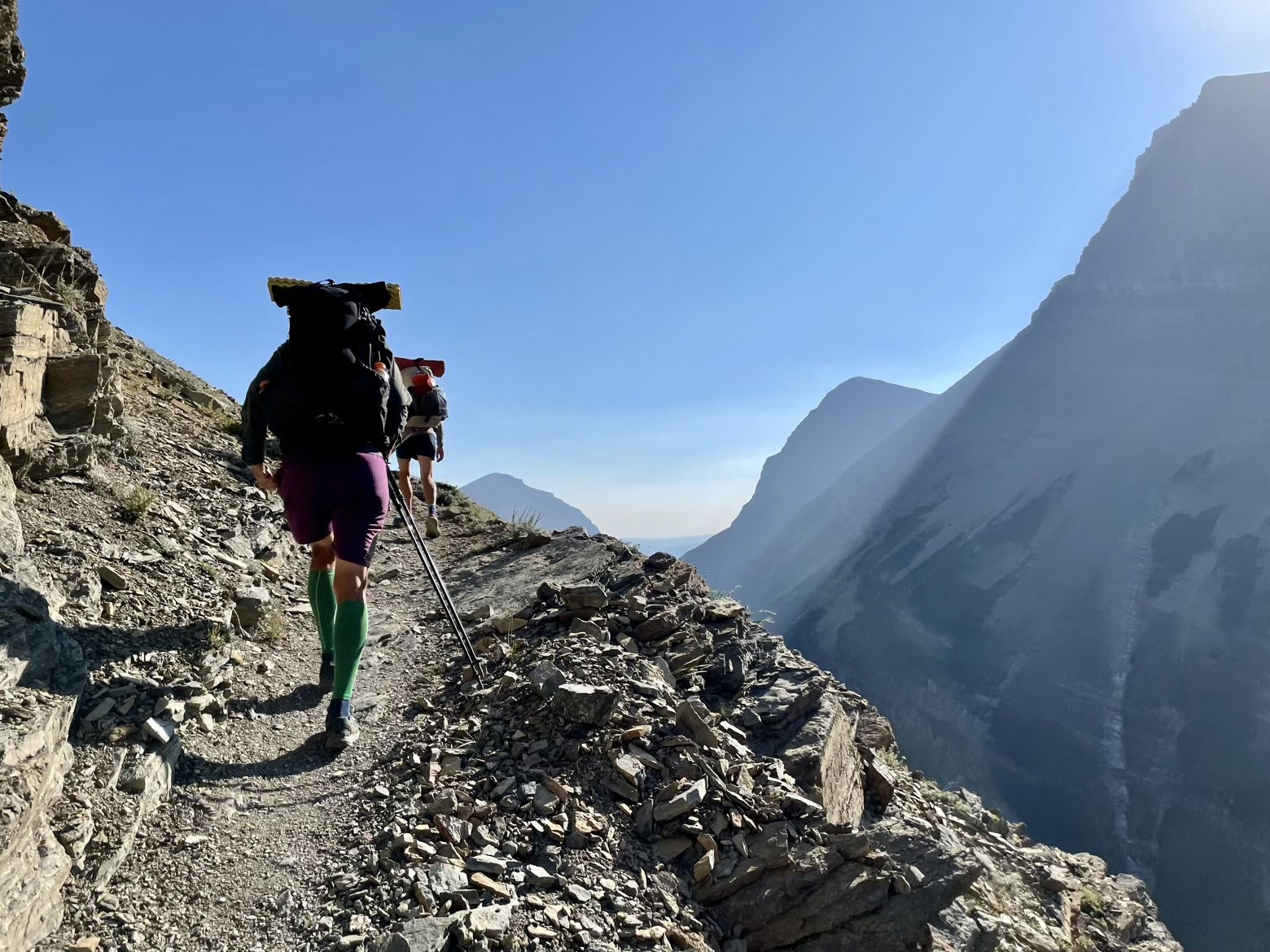
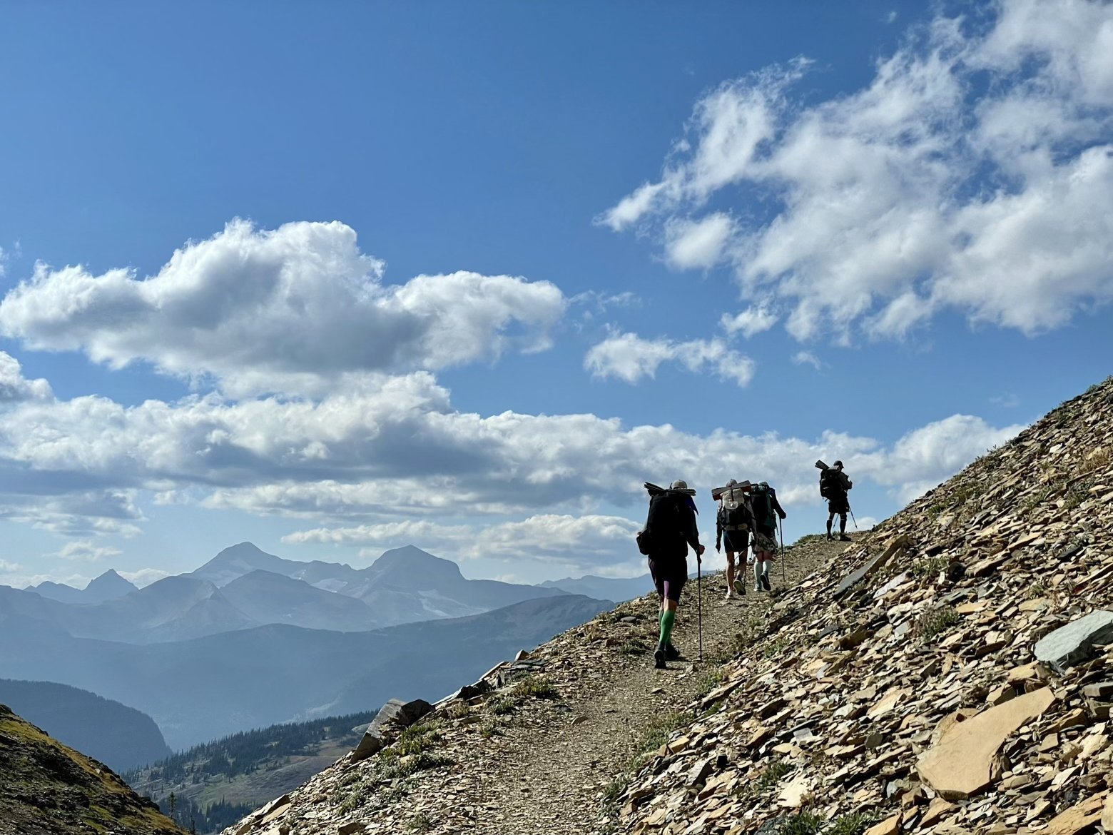
An oddity among the passes we’ve ascended and descended these past few days, Swiftcurrent Pass is home to a thicket of fir trees that obstruct the long views we’ve gotten used to. A few steps down either side, however, and it was back to the scenery for which words fall short. Another mind bending view, this time from the west side of the Continental Divide as our route seems to zig zag back and forth across it with each pass that we climb up and over.
Perched in a rocky shelf a brief side trip from the CDT sat the Granite Park Chalet, a backcountry hotel of sorts only accessible by foot. With its rustic stone facade and location torn straight from the pages of a coffee table book of the Alps, it seems like an incredible location to call home for a night, if you’re lucky enough to get a room. A man staying there for several nights had said that when reservations open in January for the coming year, every available date is booked within 5 minutes.
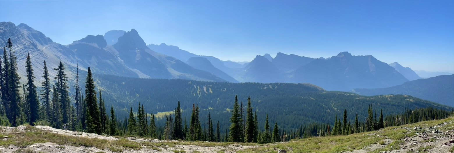
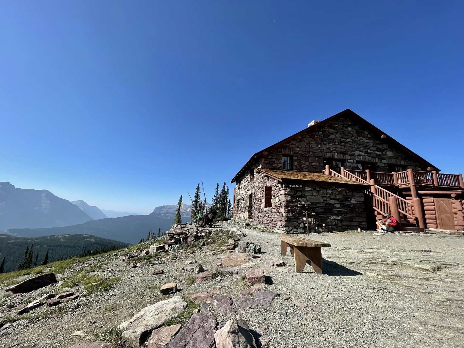
Admiring the view from a bench outside the Chalet one more time, we headed back to the CDT, looking back every now and then to admire the Chalet from a distance until we finally turned a corner and it disappeared for good.
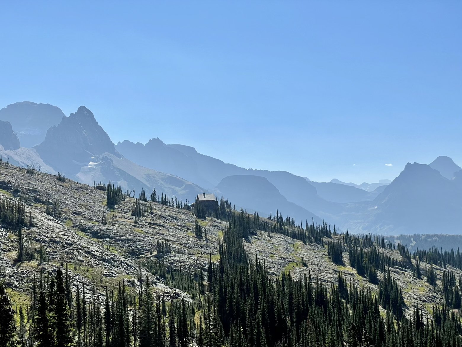
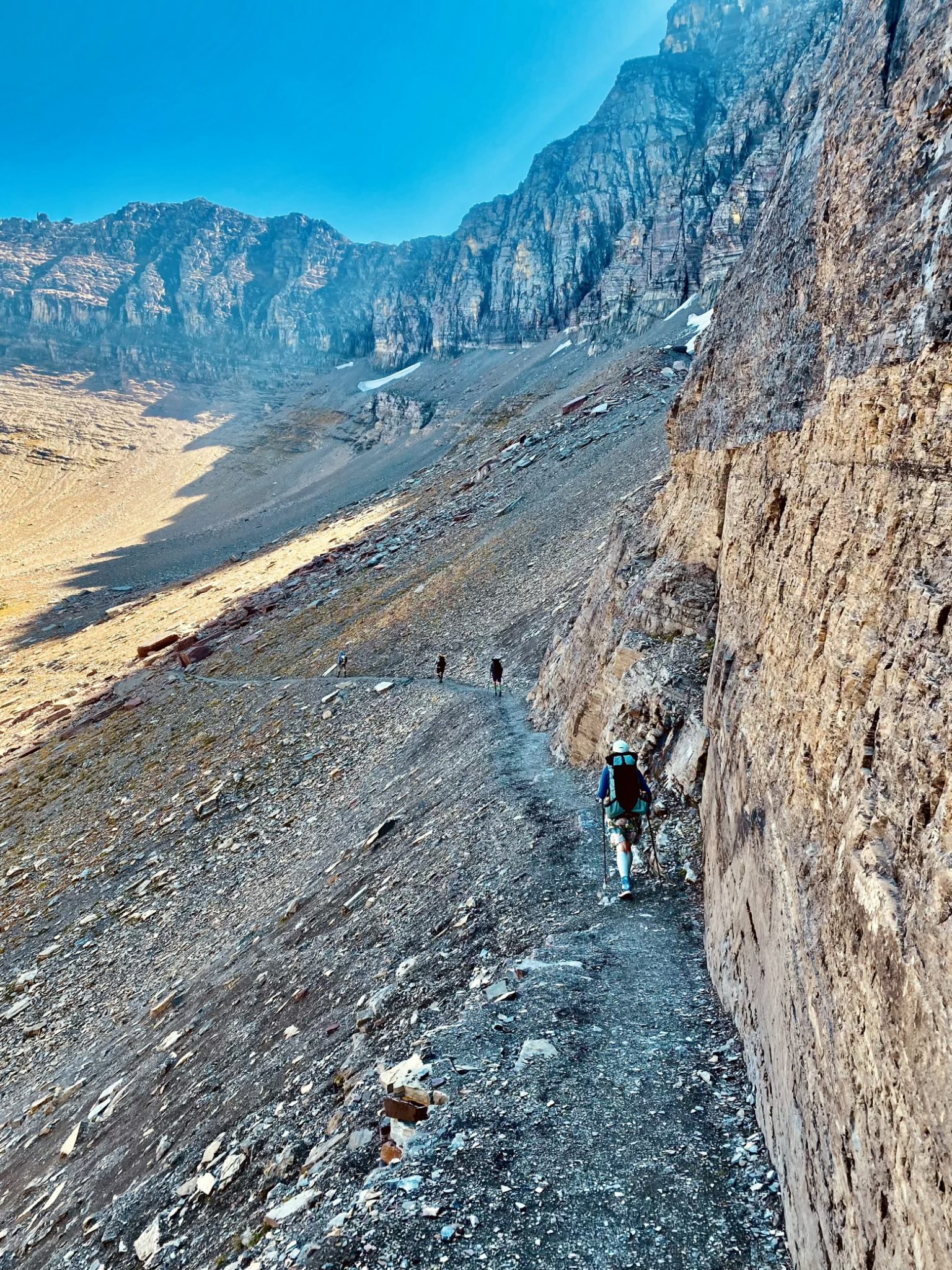
But with each successive bend, we experienced a new inexplicably beautiful basin that the trail would round in a sweeping traverse, allowing us to view it from every imaginable angle. Immediately below us to our west, fire ravaged Flattop Mountain stretched like a beached whale dividing us from yet more giant crags and pyramids of rock that soared into the sky on its far side.
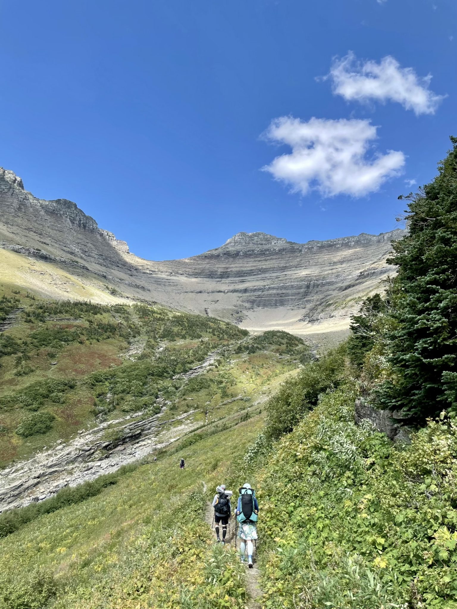
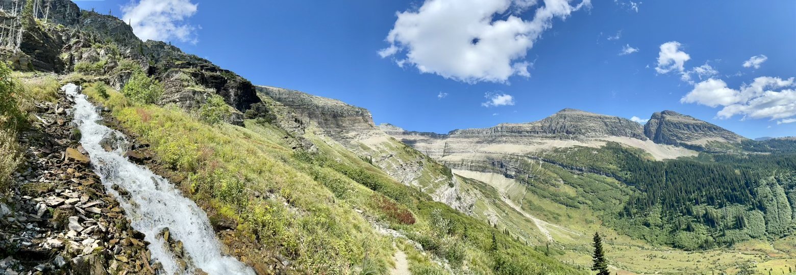
And while the afternoon sun slowly began to arc downward across the sky, we looked out into the distance and began to wonder which valley hid the elusive border that—just 15 miles from here tomorrow—would be elusive no more. I’ve imagined what exactly it might look like for so long now, it holds the same curiosity that every bend in every trail does to me. The only way to know is to keep walking.
Latitude/Longitude: 48.8528,-113.86078
