Date: 6/12/20
Miles: 19.7
Total Miles: 19.7
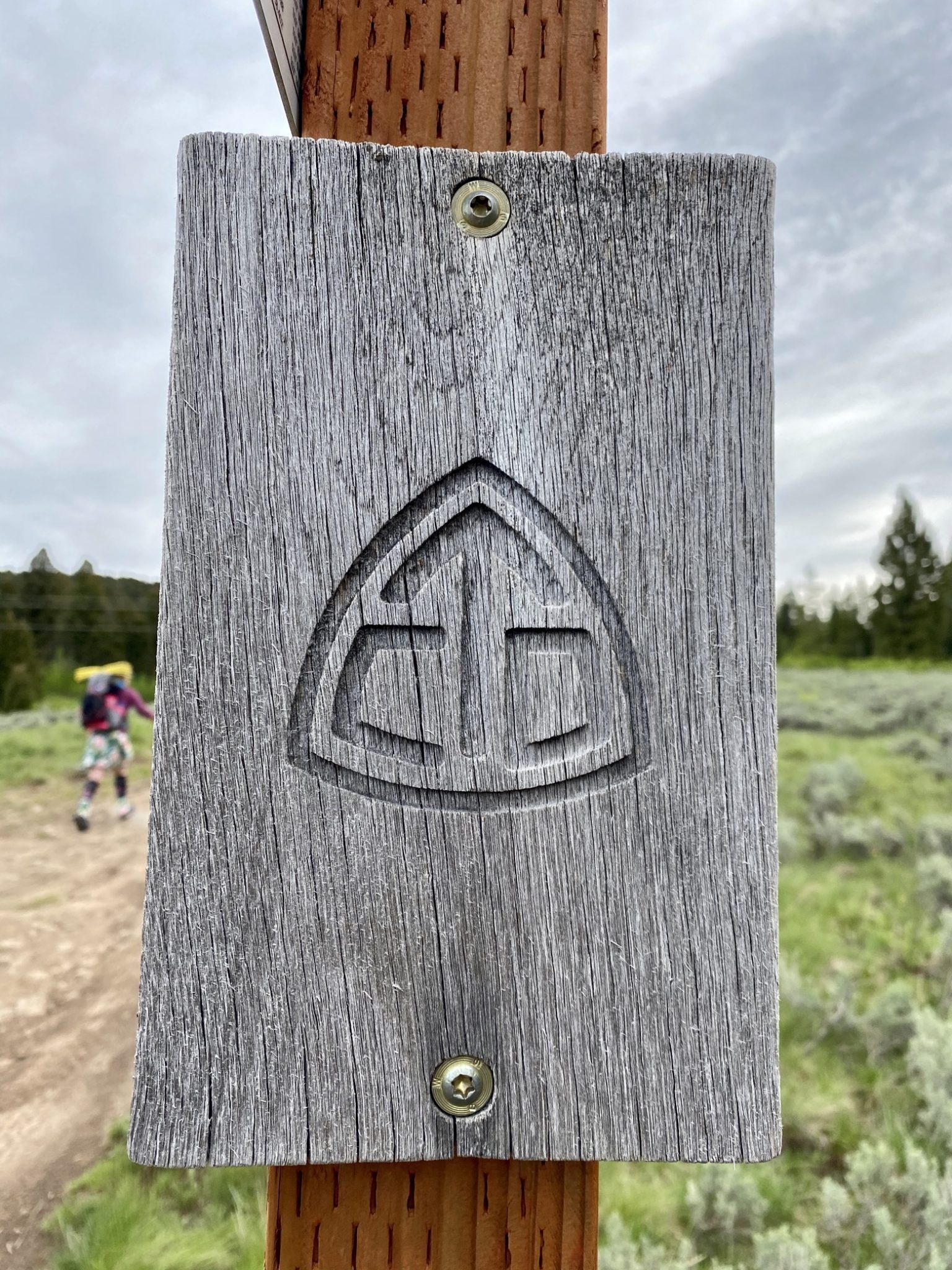
It's always strange when things you've looked forward to for so long are finally right in front of you. The past several years have in a very real sense all been leading up to this—a humble looking dirt path branching away from an otherwise un-noteworthy patch of road.
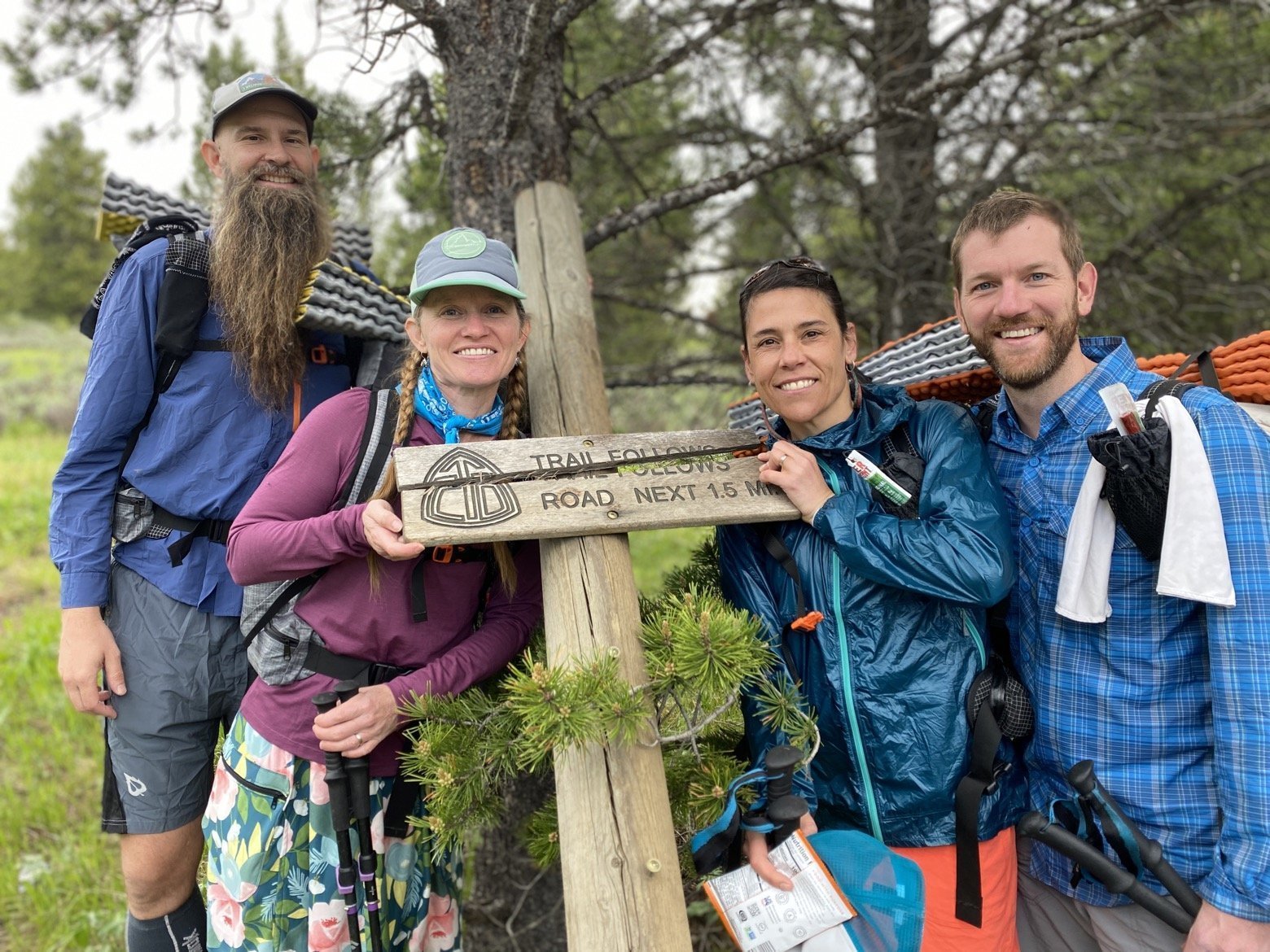
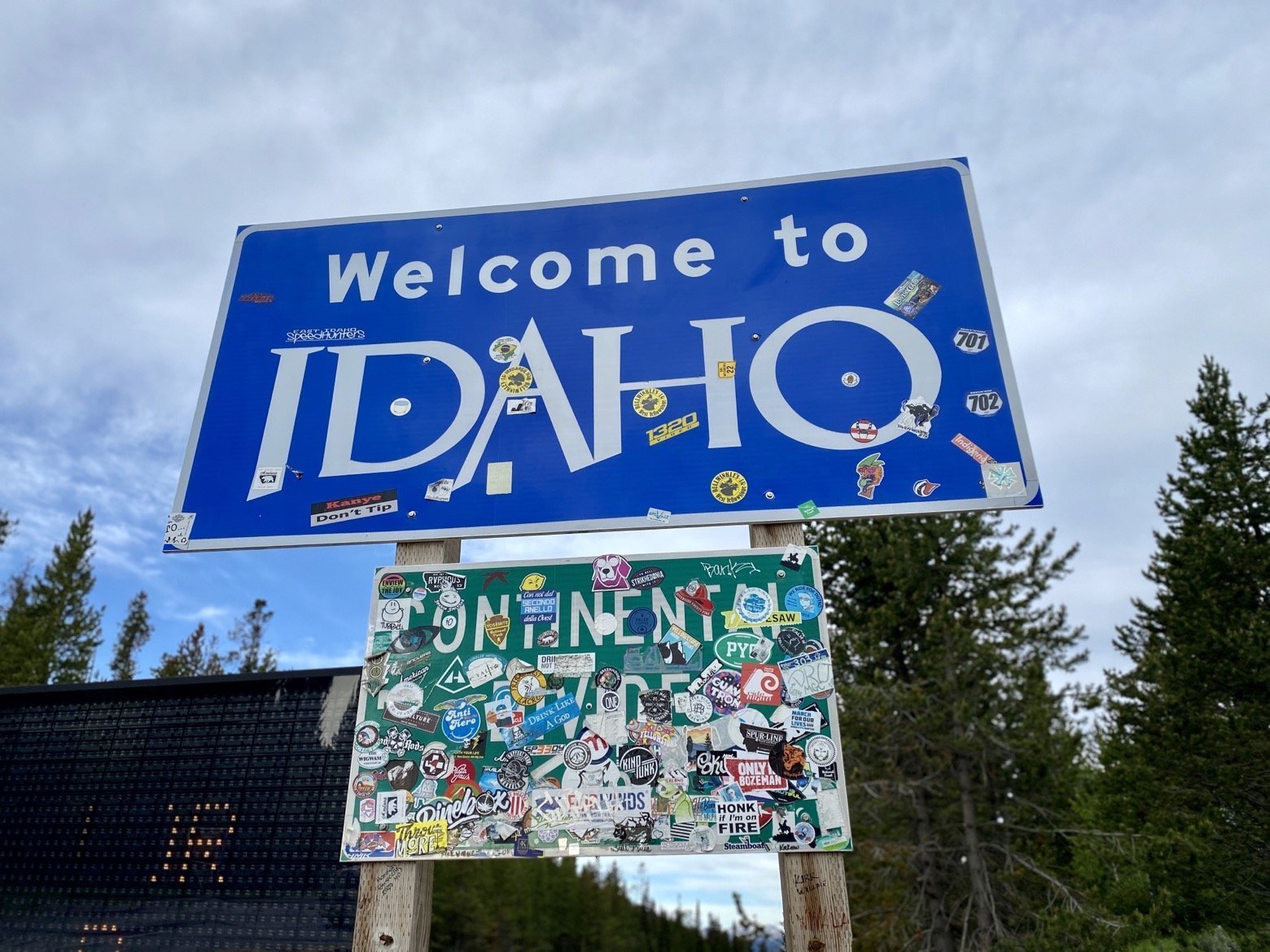
Along with our friends Beardoh (Brian) and Sweet Pea (Alison), we held together a ramshackle trail sign that marked the spot, noting that this was indeed the Continental Divide Trail. The matching Montana and Idaho signs on opposite sides of the road were the first reminder that this wasn't quite the way this hike was supposed to begin.
Nearly 3 months ago, we'd planned to hike the trail northbound starting from the Mexico border all the way along its 3000 mile path to the border of Canada. All of that changed as the world so rapidly became consumed by the novel coronavirus pandemic that has swept the planet like so much wildfire. To be honest, it's lucky we’re even in this spot at all.
As April came and went, we hatched a new plan—to hike the entire trail without hiking it in a single continuous direction, something that is known as a “flip-flop” and is the method by which more than half of thru-hikers complete the CDT. Though it was certainly not our desired plan, we simply had to start exercising the same flexibility that is a critical part of all long distance hiking a bit earlier than usual.
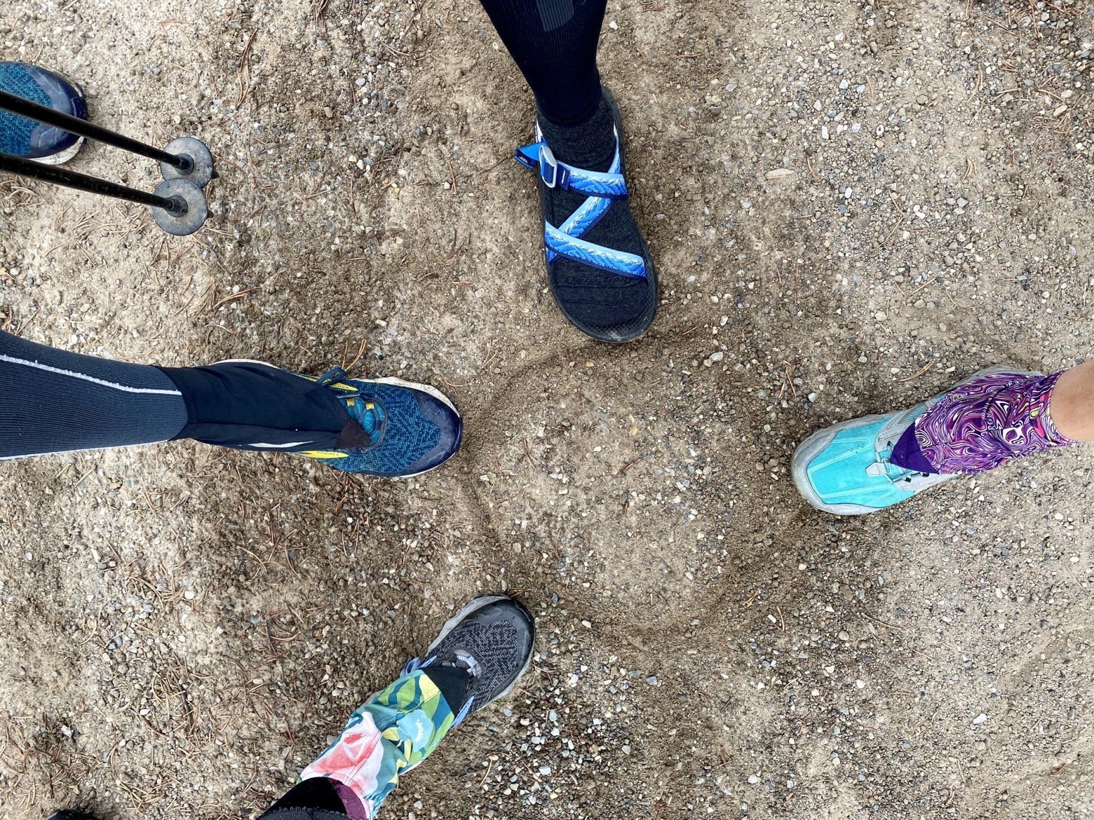
The new plan is to hike northbound, starting a few miles outside of West Yellowstone to the Canadian border before getting ourselves back to the same spot and continuing southbound all the way to Mexico for the remainder of the trail. With the obligatory first photos behind us, it was time to start making some of those miles.
Walking that first mile away from the road, I struggled to shake myself into the reality that this was all really happening. All of the preparations—physical training, packaging food resupply boxes, and moving all of our belongings out of the house so it can be rented while we’re gone—all led to a lot of exhausting days, and nights with little sleep. Even taking the first steps today, it was hard to let go of all of that stress and anxiety and simply be right here where we've wanted to be—putting one foot in front of the other with nothing but our backpacks and selves, walking off into the mountains.
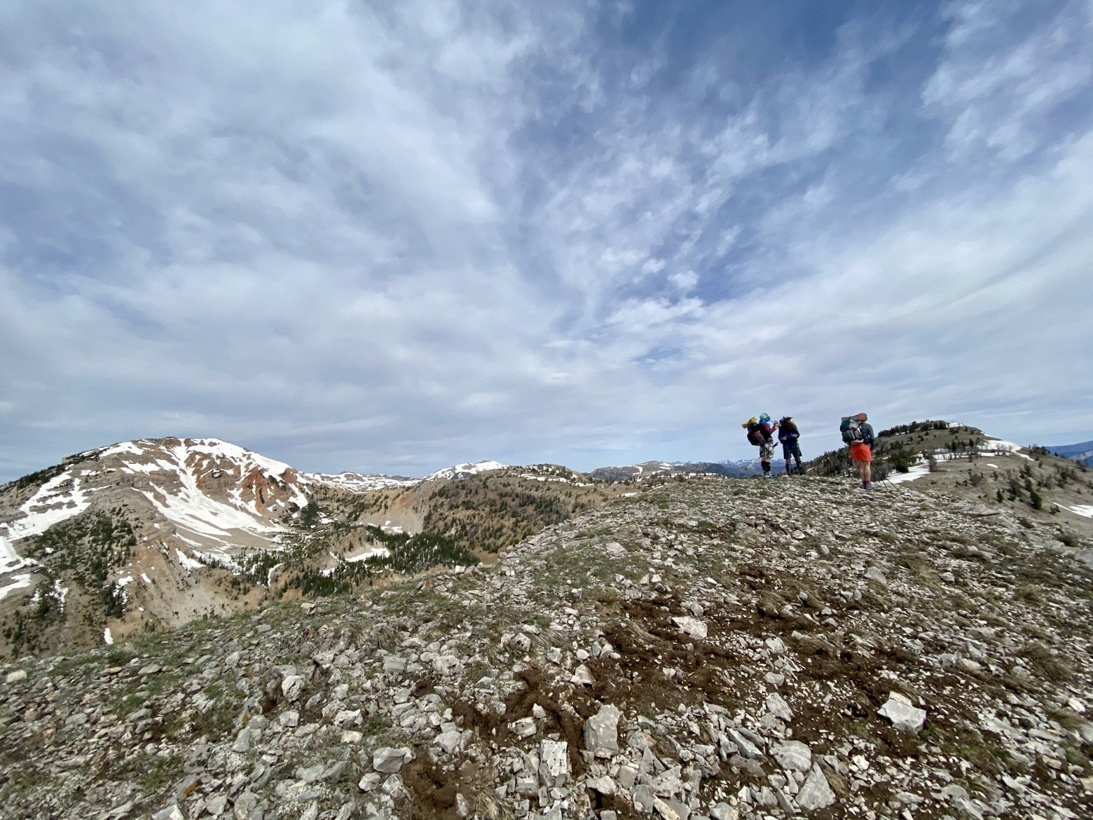
Combining the 5 days of food on our backs with the large climb that greeted us from the very first step didn't exactly make for an easy start. Neither did coming from sea level to 10,000 feet in 48 hours. And yet there we were, without another soul all day, following the trail as it traced the border between Idaho and Montana.
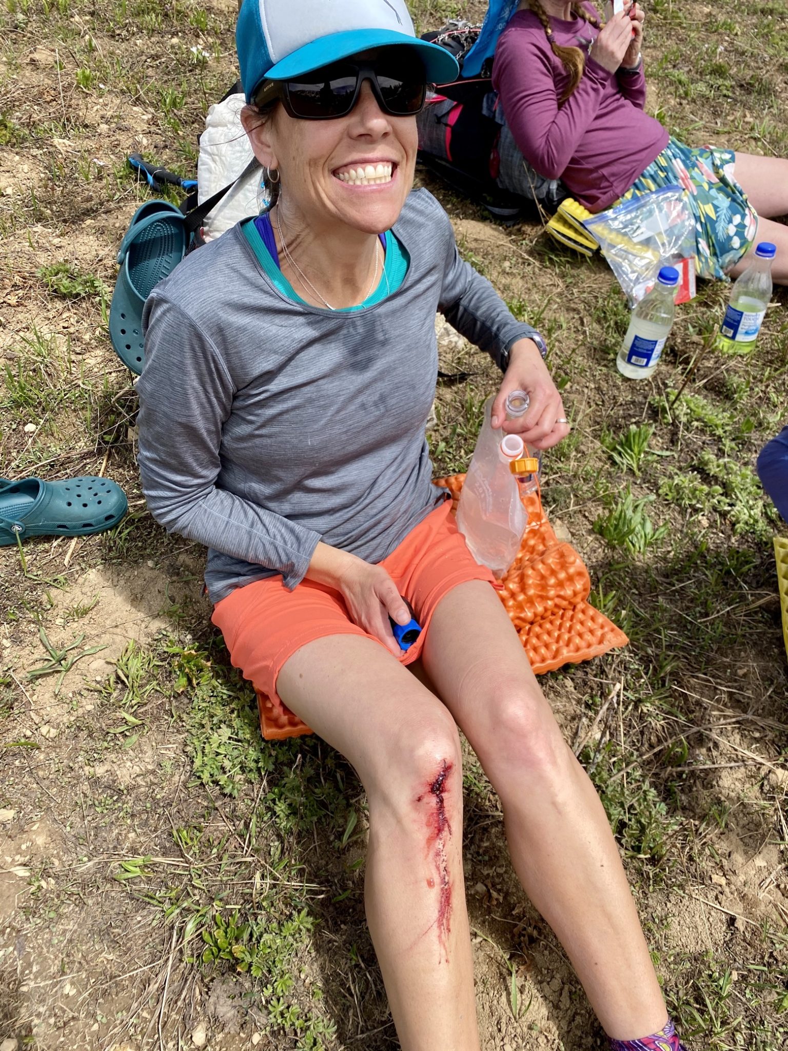
It may not have been the longest first day of a hike I've had, but the altitude and snowy climbing might have made it the toughest and slowest. The day was not without its battle scars, and Emily’s knee took the prize for its gruesome look after plunging hip-deep into the coarse, crystalline snow that blanketed a steep descent. Nothing some irrigation, antiseptic, and Neosporin couldn't make good as new.
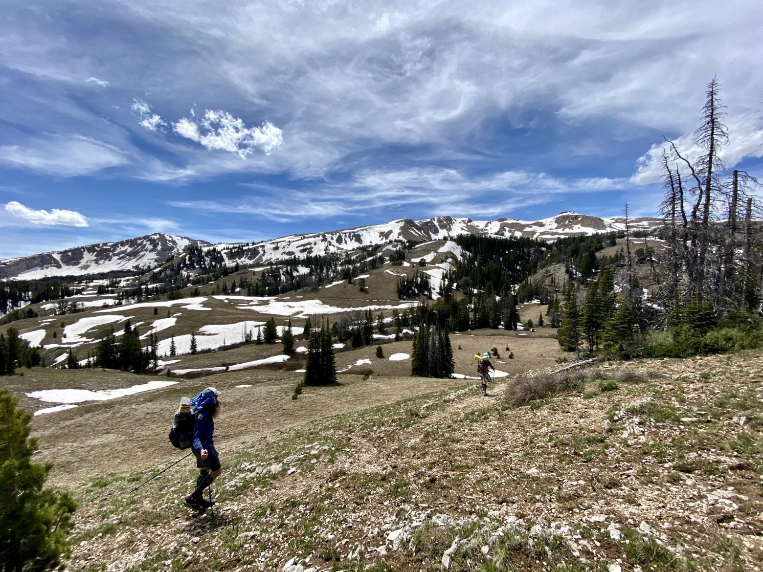
About the time the altitude and the weight on our backs began to exact its toll, we started in on what was a long, grueling, and snowy ascent to the high point of the day just shy of 10,000 feet. With the early summer snow still plentiful on the slopes of certain aspects, the trail would play its usual game of hide-and-seek, sporadically disappearing and reappearing leaving us to navigate based on the topographic features and a trusty GPS app.
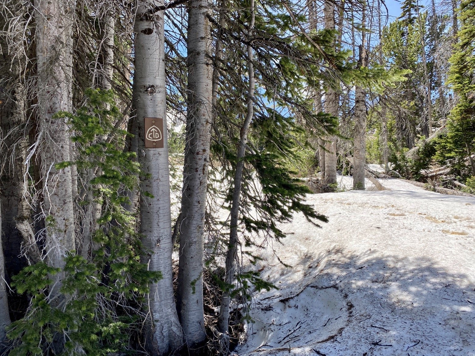
At a snails pace, up and up we went occasionally trading the exhausting task of post-holing knee deep into the snow in exchange for ascending the wobbly collection of boulders that pointed in the direction of the pass.
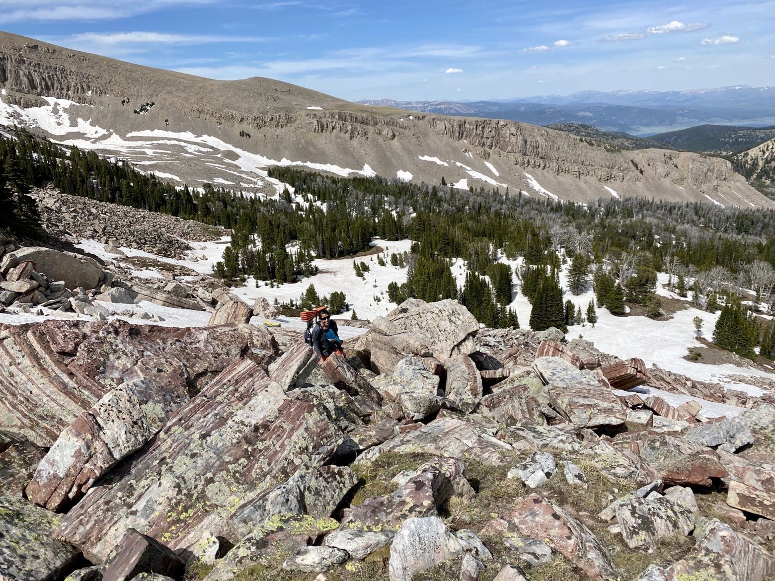
An early dinner was the reward for at last gaining the pass, knowing it would take some fuel for the hours of snow travel that still lie ahead between us and where we would make our home for the night. The descent was unrelenting, scree and snow alternating with one another. Far below, what should have been an otherwise easy stretch of trail had been transformed by an avalanche from the past winter. Far from the snow line high above, piles of snow remained, insulated by the pine boughs atop them, and having obliterated most signs of the trail all while courteously leaving behind a veritable jungle gym of downed timber for us to navigate.
12 hours and 20 miles from the road where it all began, all four of us could not be happier to be relaxing in our hammocks. So much to pack into a single day. What could tomorrow possibly have in store for us?
