Date: 9/11/20
Miles: 23.4
Total Miles: 1379.6
It feels like the wrong way somehow, hiking south. With the exception of the entire Montana/Idaho section, all of this hike will have been southbound, a direction that I've never traveled on a long trail with the exception of the far shorter John Muir Trail. Rather than following spring northward as it warms the higher latitudes, a southbound hike feels like more of a race against winter as it chases you away from those higher latitudes.
In truth, until recent years the preferred direction to thru-hike the CDT had been southbound, with the peak of summer spent in Montana and Wyoming, cooler fall weather in the Great Basin desert followed by a Colorado free from its summer throes of thunder and lightning. Of course, very little of this hike has been conventional so its Frankenstein nature means we get a bit of both a northbound—referred to by hikers in shorthand as “NoBo”—and a southbound (“SoBo”) hike.
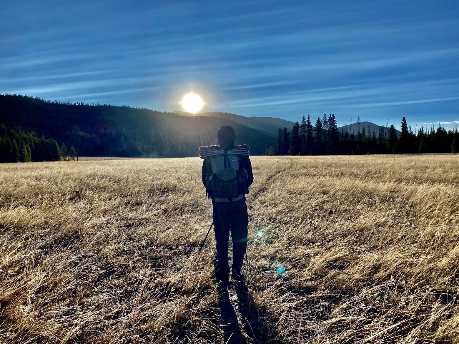
There are subtle things about going southbound that you tend not to think much about until you're actually doing it. For example, facing the sun all day is all of a sudden the norm. Prepare to wear sunglasses as early as 7am. I've also now had to put sunscreen on my neck just above the top button of my shirt to prevent that pasty white patch, so accustomed to the shade, from being scorched.

There's also the problem of dwindling daylight. As opposed to a NoBo hike that begins in April or May and the entirety of which occurs between the equinoxes with nice long days, a SoBo hike starts around the summer solstice or later, and everyday thereafter is shorter than the last.
And then there's the cold. There's no escaping it on any trail of this length, but NoBos deal with it in the beginning of the hike until spring has fully transitioned into summer while SoBos watch the warmth of summer, like the daylight, drift away almost from day one. None of this is to say that going one way is better or worse than the other, just different, with each presenting its own unique set of challenges.


Heading southward into the sun, we followed the course of the Snake River upstream closer and closer to its headwaters until we passed a trio of thru-hikers, the 14th, 15th, and 16th we've met in our first 3 months on trail. Mer-man, Freewheel, and Montana were a great group of guys who seemed to be having a thoroughly good time on their NoBo hike that will surely be pushing the limits of early winter by the time they reach northern Montana. Given how infrequently we've seen people of any kind, let alone other thru-hikers, we stopped to chat with them for what felt like an hour though in reality was perhaps only 20 minutes, sharing intel about the trail ahead for each of us.
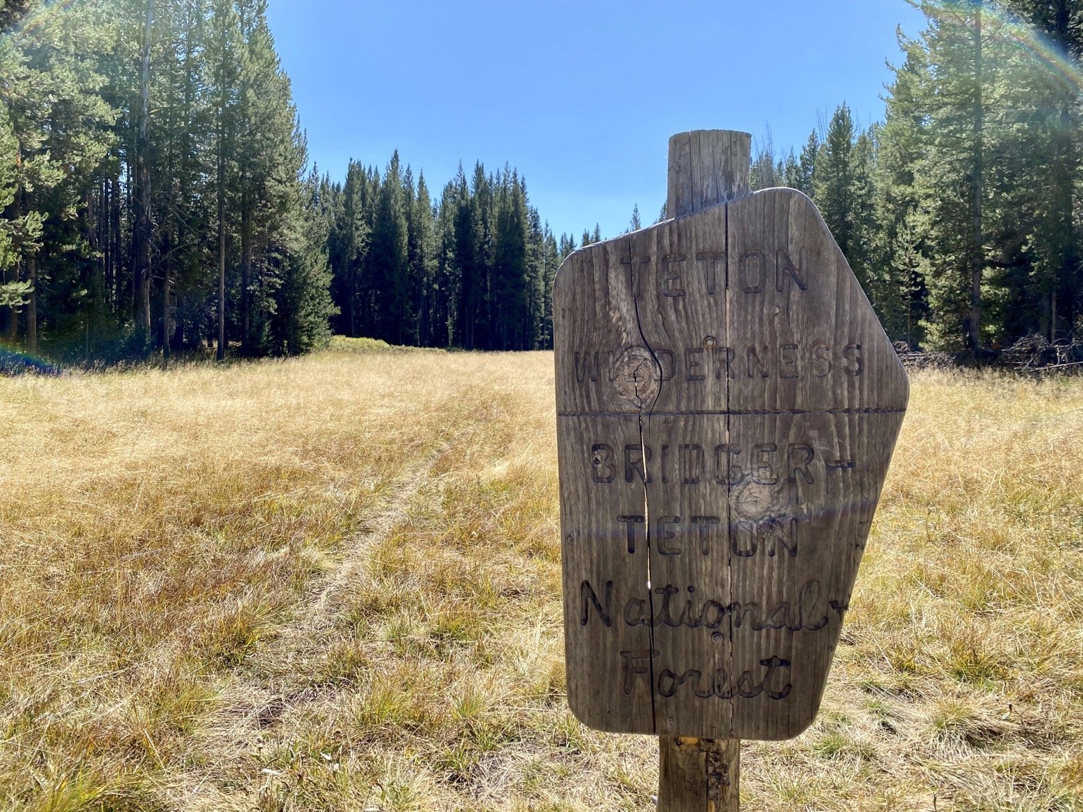
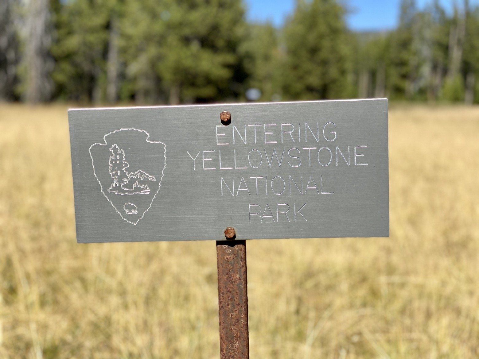
By lunchtime, we'd waved goodbye to Yellowstone—our third and final of the National Parks on this trail—as we crossed over its southern boundary. At the same moment, a side trail heading off to the East was a direct route to the most remote point in the lower 48 states, a mere 10 miles or so by trail from where we stood. Another trip for another time.

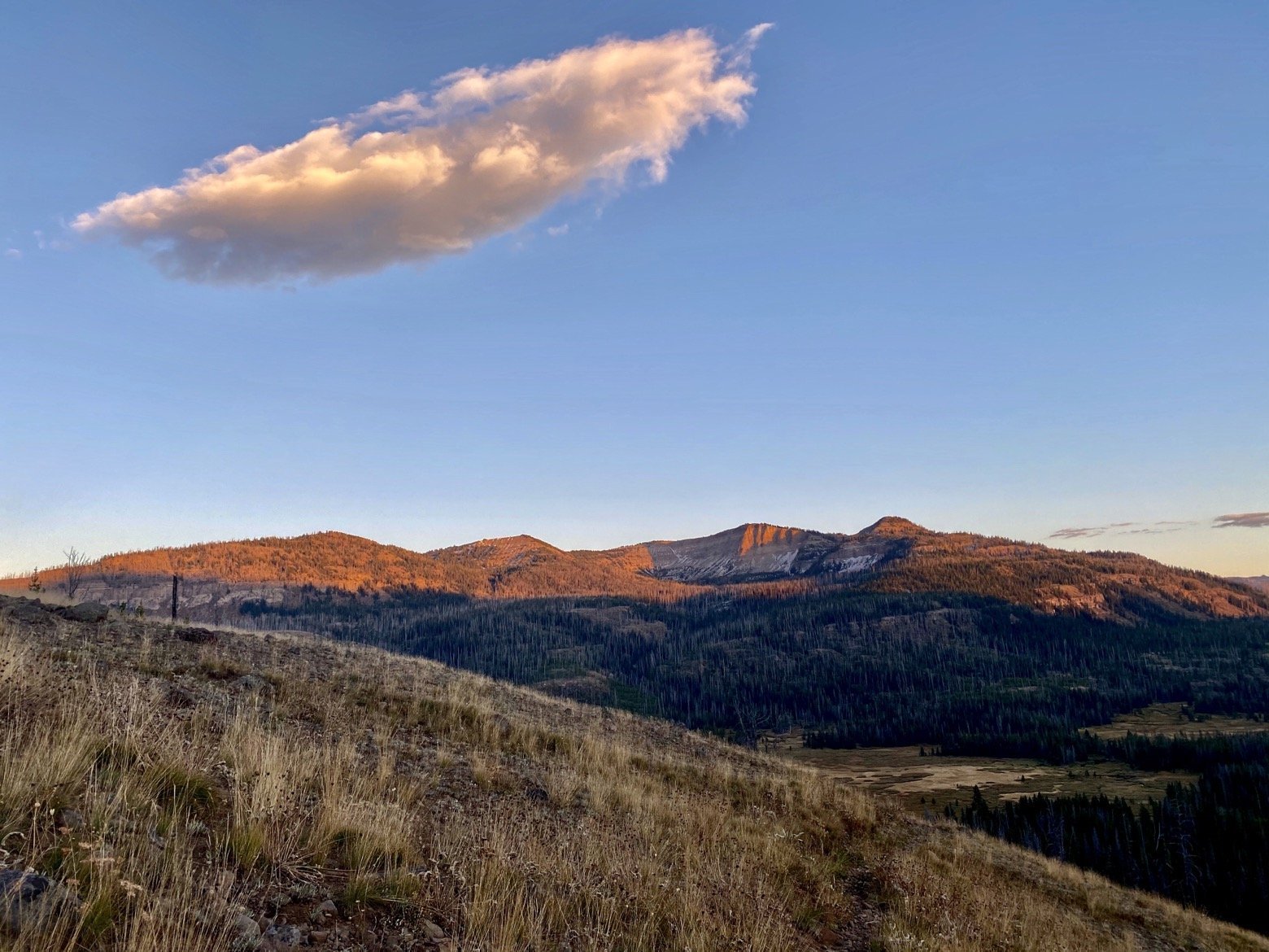
Descending into dusk, we crossed a humble little creek and set up our hammocks within earshot of its melodic bubbling. But this humble little creek, named Two Ocean Creek, was something quite special. Known as the Parting of the Waters, this creek divides only a few feet from our hammocks with one branch ultimately draining all the way to the Atlantic Ocean and the other draining to the Pacific. One little creek, two impossibly distant destinations.
Latitude/Longitude: 44.04202,-110.17513
