Date: 11/6/20
Miles: 23.4
Total Miles: 2445.3
To walk away now would be madness. Not unlike the mystery behind Franz Schubert’s Eighth Symphony—better known as the Unfinished Symphony—which remained unfinished for reasons that were known only to the composer himself, our own symphony of a CDT thru-hike remains incomplete but only for one more day. 12 more miles and it will be unfinished no more.
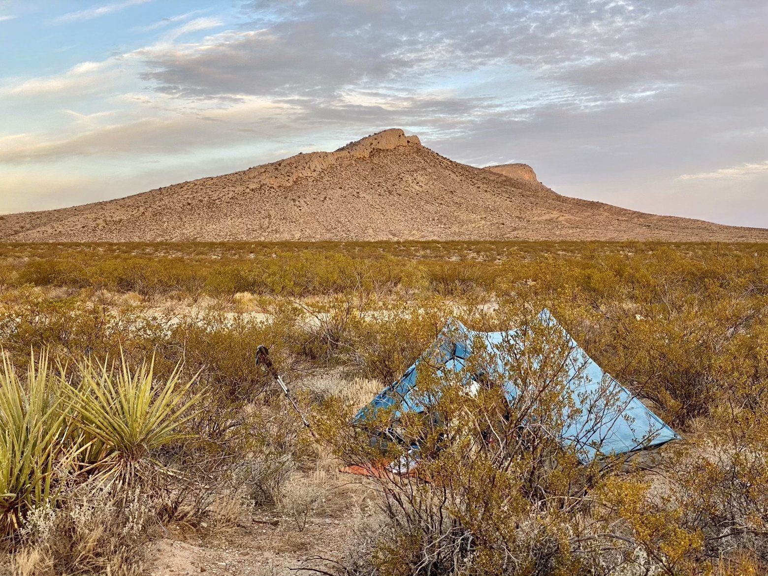
As the afternoon aged into evening and the final 24 hours of our hike began to tick away, I started to reflect back on the last several months that had brought us here. This time, this trail have been such an incredible experience—one that Ace and I have shared together for the first time. But as we stand on the cusp of reaching the Mexico border, I also began to think about the trail itself, what it is and what it might one day be.
What makes a great trail? Beautiful, diverse scenery? Majestic mountains? Varying degrees of challenge, from easy to strenuous? For the CDT, the answer to all of these is an emphatic yes. But as with most things, it’s more complicated than that.
I'll make the uncontroversial claim that to be a great trail, something must first be a trail. The CDT has certainly been a diverse path with a mix of tread—from poor to ideal to wide open and cross-country—all of which makes for a fun variety. The problem lies with how much of it isn't a trail at all, in any of these forms.
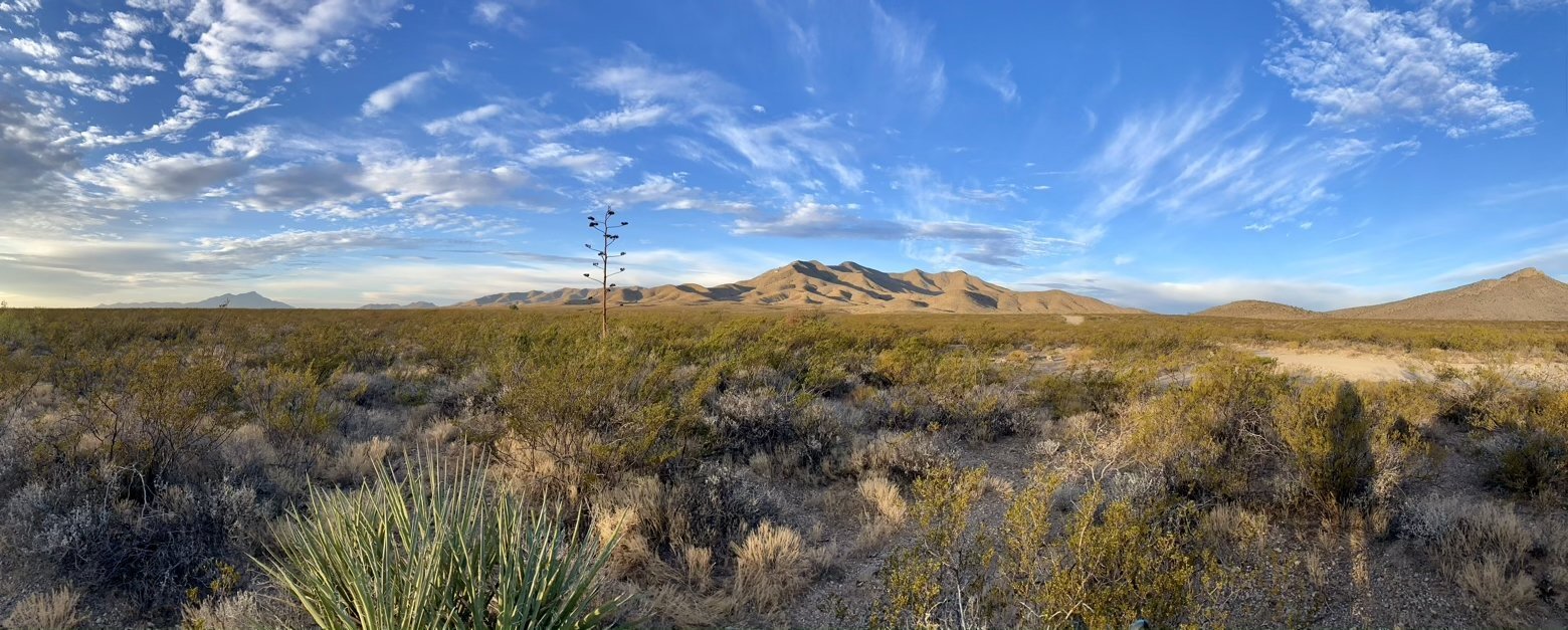
According to the Continental Divide Trail Coalition (CDTC), 730 miles of the trail are still in need of being relocated off of roads and onto actual trail. With the officially signed route currently clocking in at 2,976 miles, almost exactly one out of every four miles is on some form of road—paved, gravel, or dirt—in widely varying states. That's a lot of road walking.
The bad news? It's actually worse than it seems. For various reasons, essentially no one opts to walk the entirety of the officially signed route, instead folding in a combination of the many available alternates—the Gila River, the Cebolla route, the Creede cutoff, the Anaconda cutoff, and the Mack’s Inn route being among the most popular. Considering that most of these alternates not only trade actual trail for road walking but in doing so shorten the total length of the trail by several hundred miles, the amount of road walking an actual thru-hiker is likely to encounter edges closer to one out of every three miles. Now that's really a lot of road walking.
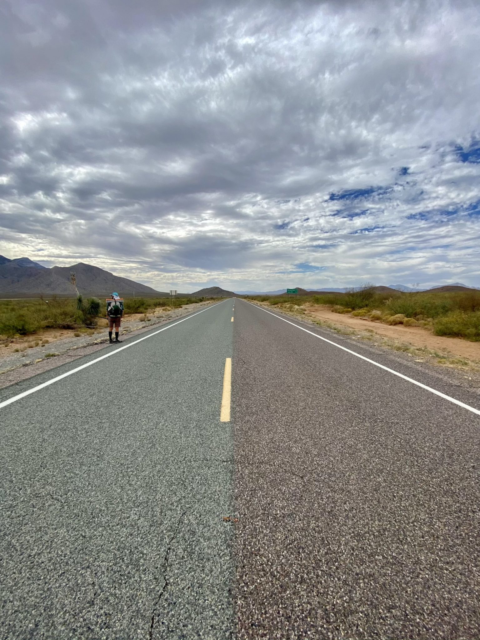
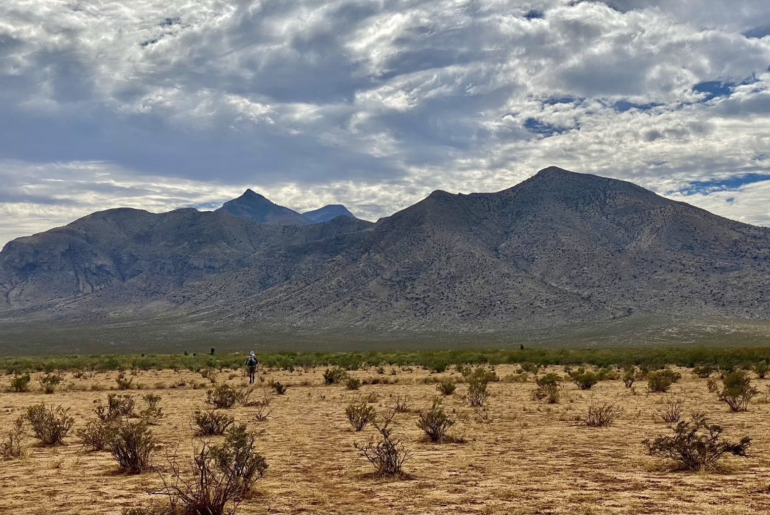
Even when viewed in that light, the CDT is still a beautiful thing, an unfinished symphony of its very own. Years from now, much of what is now road walking—at times giving it the air of a walk across the country rather than a hike through unspoiled mountain wilderness—will have been relocated onto the actual trail it so rightly deserves, all thanks to the tireless work of the CDTC.
To experience the trail in its current state is, ultimately, to bear witness to its evolution. I, for one, am grateful for that. To love anything is to love its flaws—even an unfinished symphony can be a beautiful one.
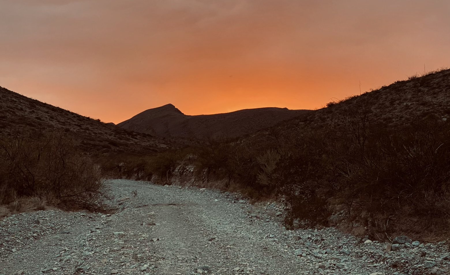
Latitude/Longitude: 31.59771,-108.33152

