Date: 7/15/22
Miles: 16.2
Total Miles: 182.6
The confluence of two creeks, a mere stone’s throw from our proverbial bedroom window, seemed not to care that morning had broken. Nature’s white noise machine chugged along, ignorant of day and time. The alarm on my wrist was more particular about exactly what time it was, and its buzzing was as inescapable as the reality it brought with it. Everything ahead of us was in one and only one direction: up.
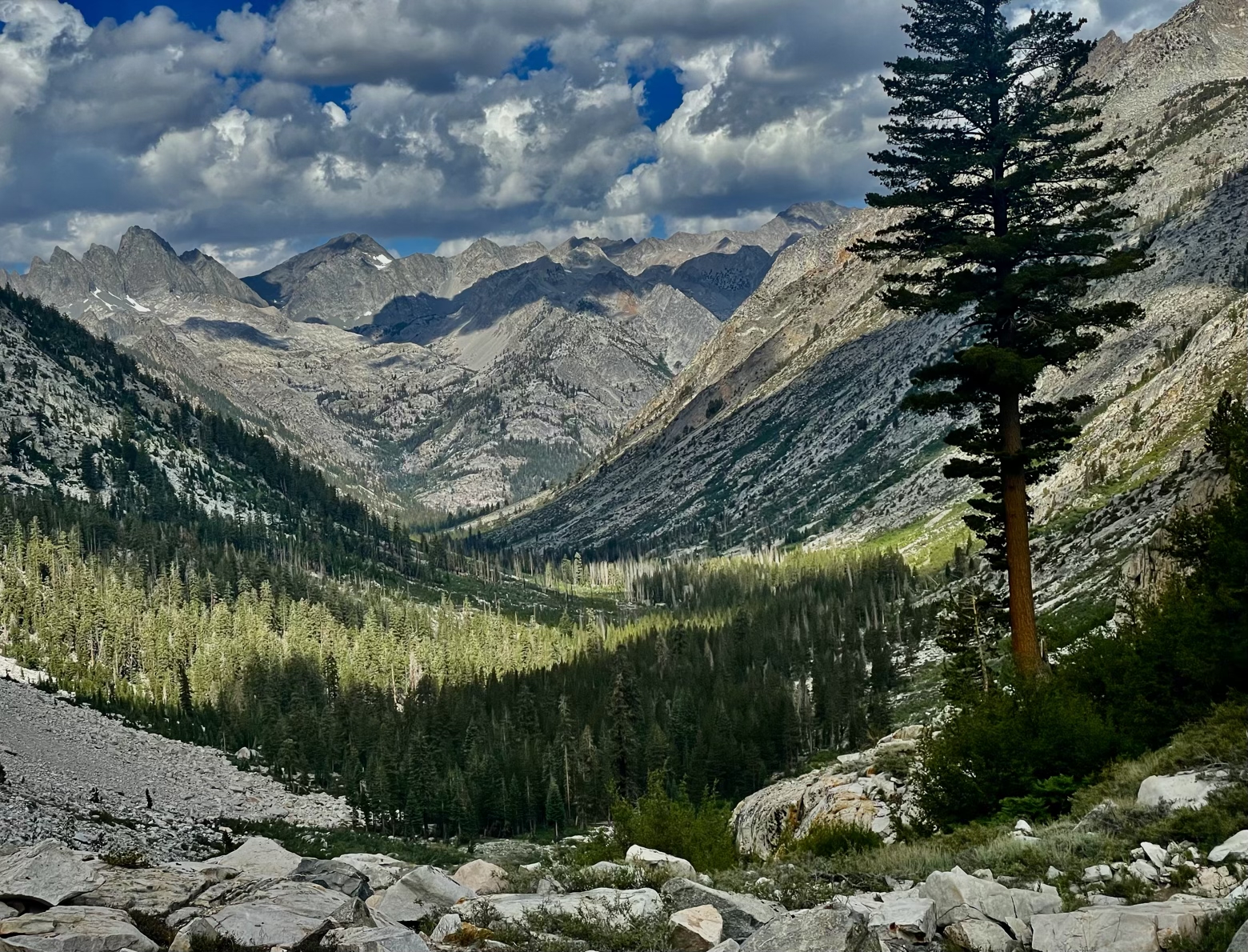
Leaving behind our campsite, the volume began to turn down on the tangled water of Palisade Creek mixing with the Middle Fork Kings River. Slowly ascending through a patchwork quilt of Jeffrey pine and open, bushy areas, our first glimpse of the head of the valley presents a challenge to the brain: how is the trail possibly going to climb up that?
Staring at what looks like an impenetrable wall of granite with Palisade Creek cascading down to one side, that question of exactly how a trail could ascend such a feature was the same one that had stumped early trail visionaries like Joseph LeConte and Theodore Solomons. In fact, the piece of the JMT we were now at the foot of was the last section to be built, a full 7 years after the rest of the trail had been established. Its name? The Golden Staircase.
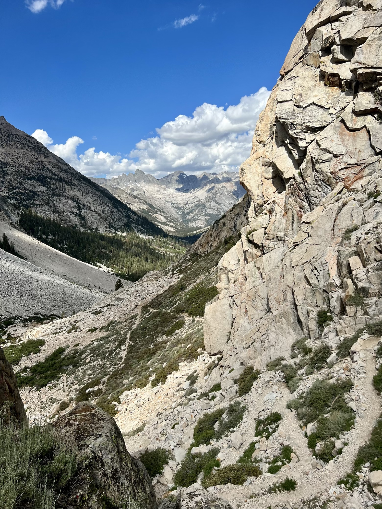
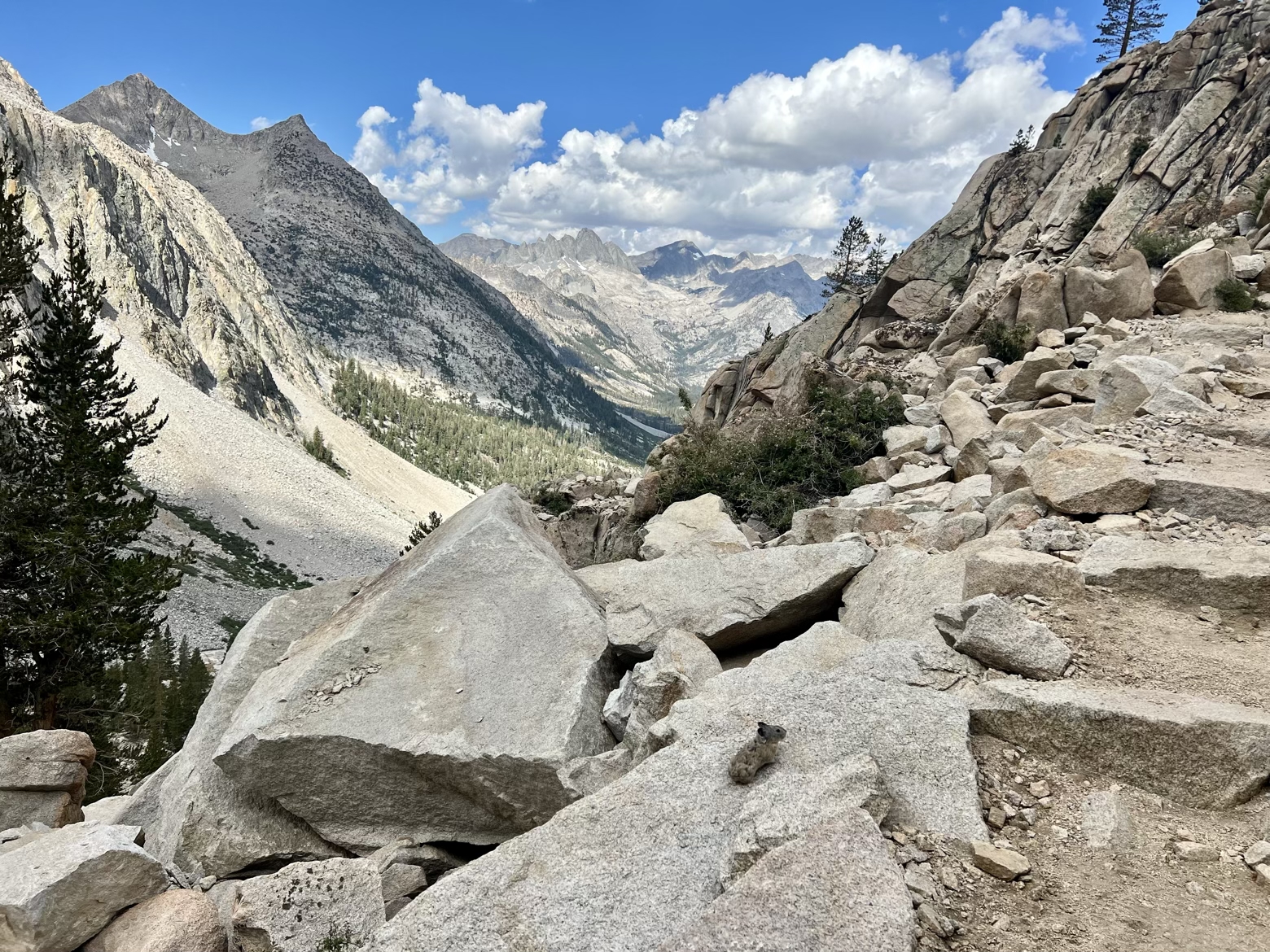
The Golden Staircase is a monument to trail building ingenuity and modern design practices, which one might assume would mean it wasn’t finished until the early 21st century. Try: 1938.
The trail itself is a serpentine set of nearly 100 switchbacks, navigating from LeConte Canyon up into the Palisade Lakes basin. Without it, Theodore Solomons’ dream of a trail—passable by stock animals—running parallel to the Sierra Crest from Yosemite Valley to Kings Canyon would have remained just that: a dream.
Instead, that dream is what we’ve been striding along for the past 11 days, and its cornerstone—this grand staircase—would now lead us from one world up into another.
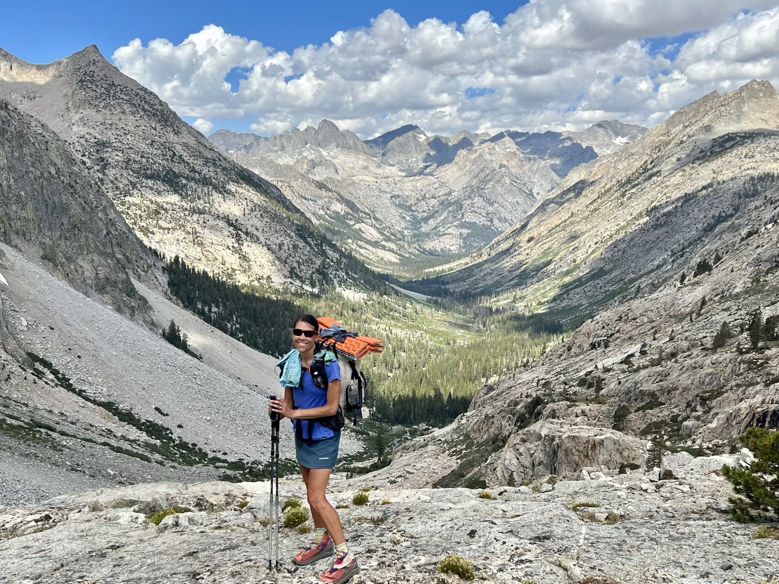
Near the top of the Golden Staircase, you get your first look at what that marvel of trail building has granted you access to. Norman Clyde Peak, Middle Palisade, and Disappointment Peak hang in the sky like the dorsal fin of some colossal fish. At their foot, the Palisade Lakes lie nestled into a narrow basin.
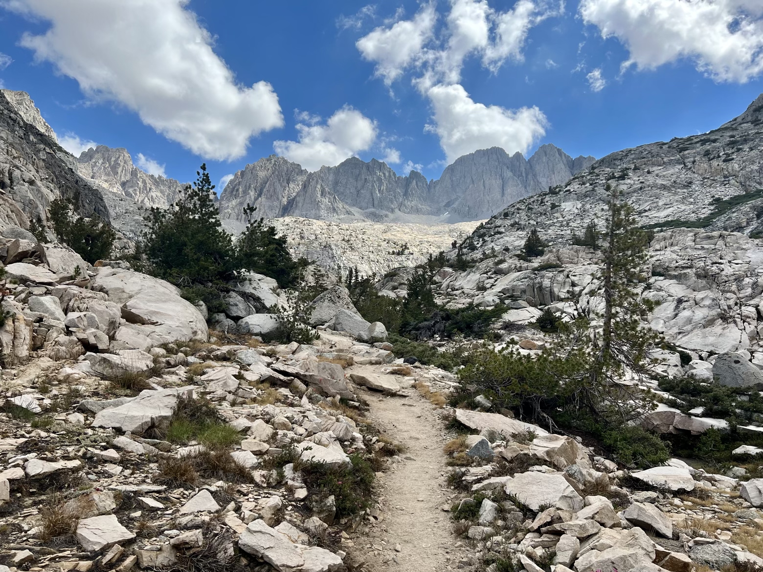
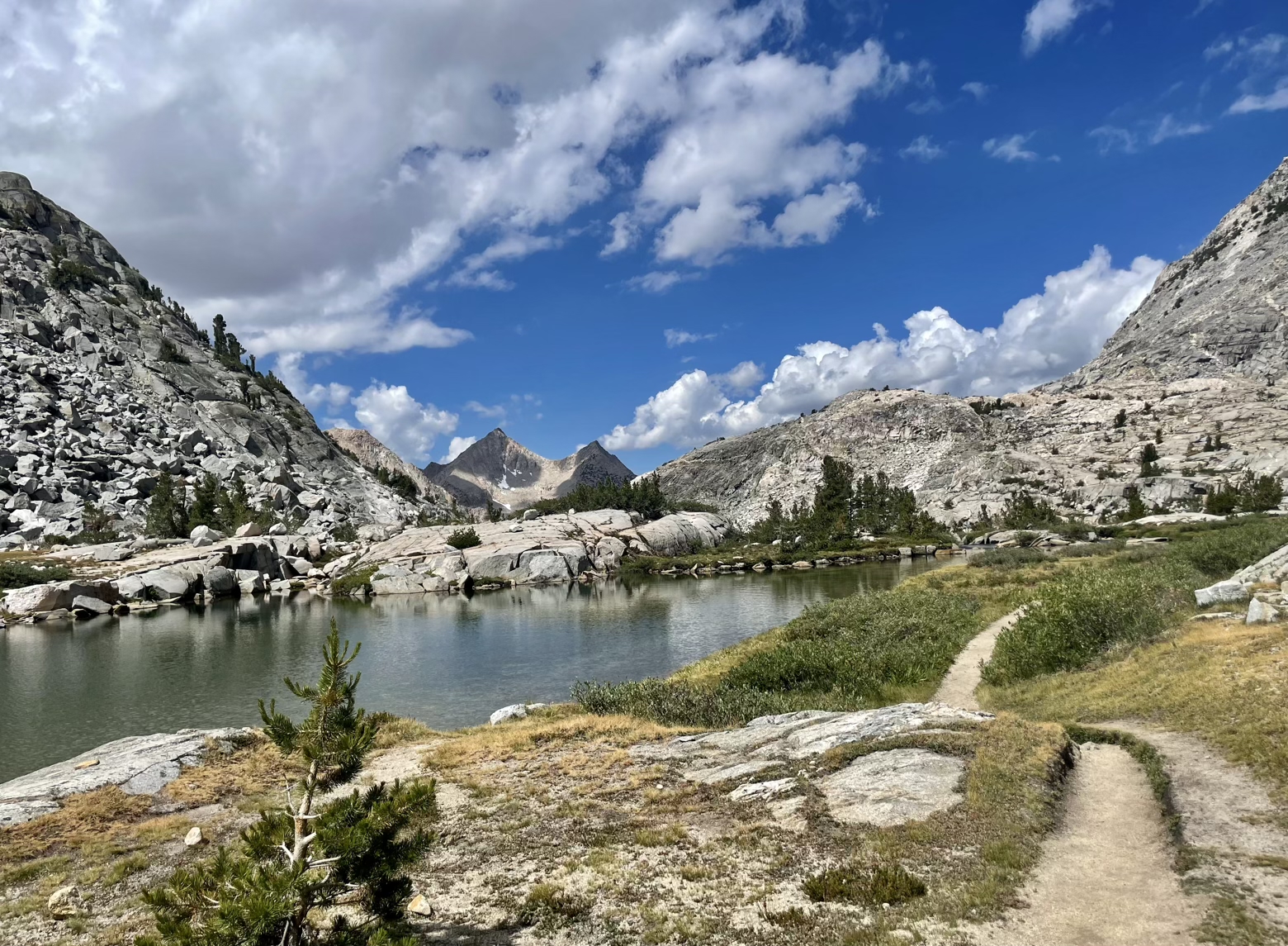
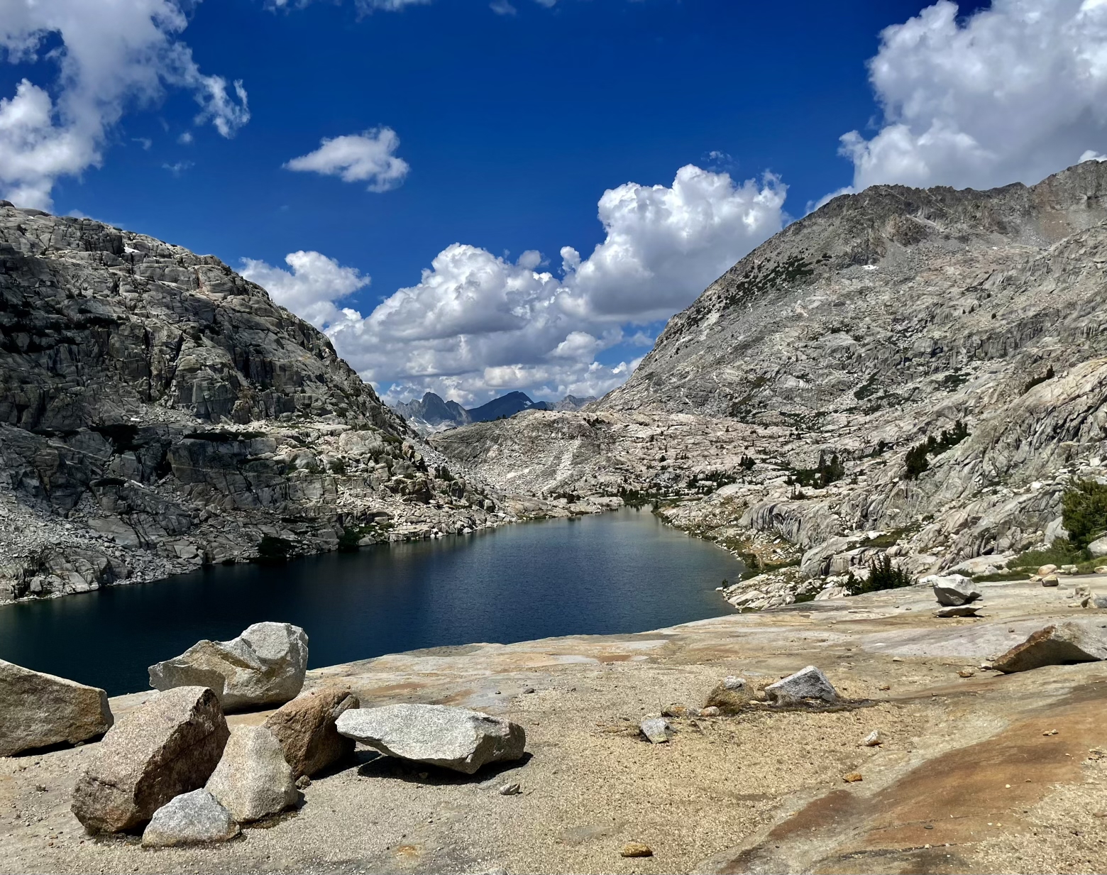
But the work of climbing that started 7 miles and 2,600-feet earlier wasn’t finished at the top of the Golden Staircase. Curving in a gentle arc to the south, the basin rose another 1,400-feet higher, ending in a shallow, U-shaped saddle of granite. And the tiny ribbon of trail we stood on traced a path right to it. The fifth of the JMT’s high passes: Mather Pass.
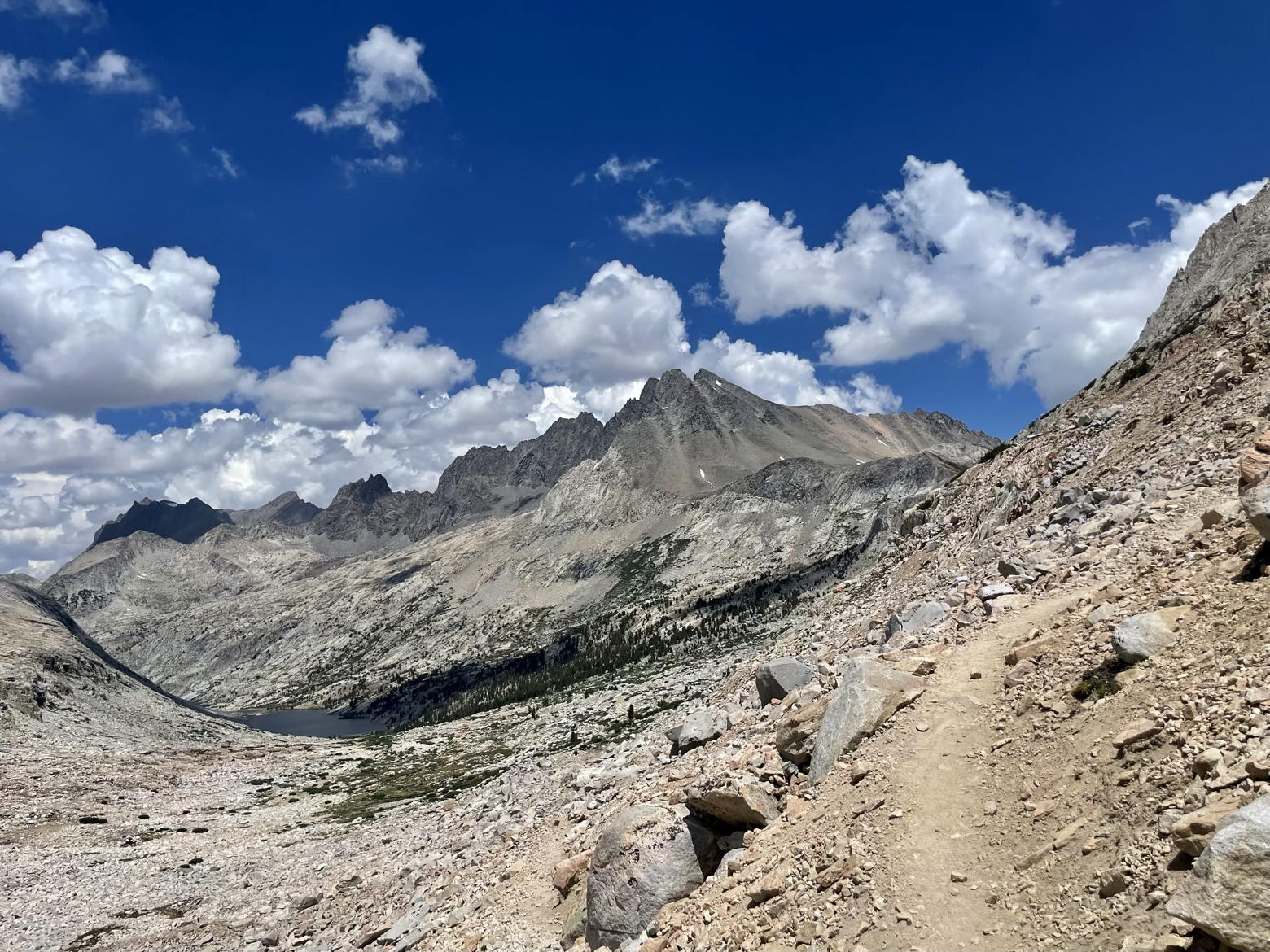
The pass is named for Stephen Mather, the first director of the National Park Service. A member of the Sierra Club and friend of John Muir’s, Mather was also a millionaire who retired in his 40s and took a keen interest in building the profile of America’s natural treasures.
Serving as the NPS director for 12 years, beginning in 1917, Mather not only developed the criteria for how new parks would be created, but succeeded fantastically in drawing the attention of the American public to the natural wonders they hardly knew existed in their backyard. By publicizing the parks and implanting them in the country’s collective consciousness, Mather both elevated the profile of the Park Service and secured nearly universal support in the eyes of the general public for both the parks and the protection of them.
Fittingly, a plaque at Zion National Park memorializing his legacy sums it up this way:
He laid the foundation of the National Park Service, defining and establishing the policies under which its areas shall be developed and conserved unimpaired for future generations. There will never come an end to the good that he has done.
Perhaps an even more befitting tribute was the scenery found at the pass that bears his name…
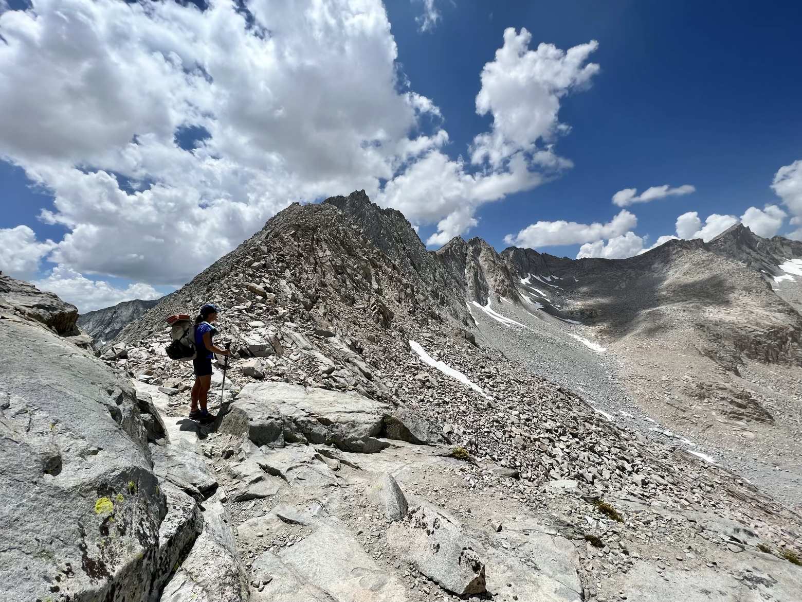

All to ourselves and under a sky of blue punctuated by clouds straight from a Bob Ross painting, Mather Pass was a sight for sore eyes. Expansive on both sides, the prize of reaching its lofty perch was doubly sweet given that I’d felt like a car whose engine had been running on half its normal cylinders all morning.
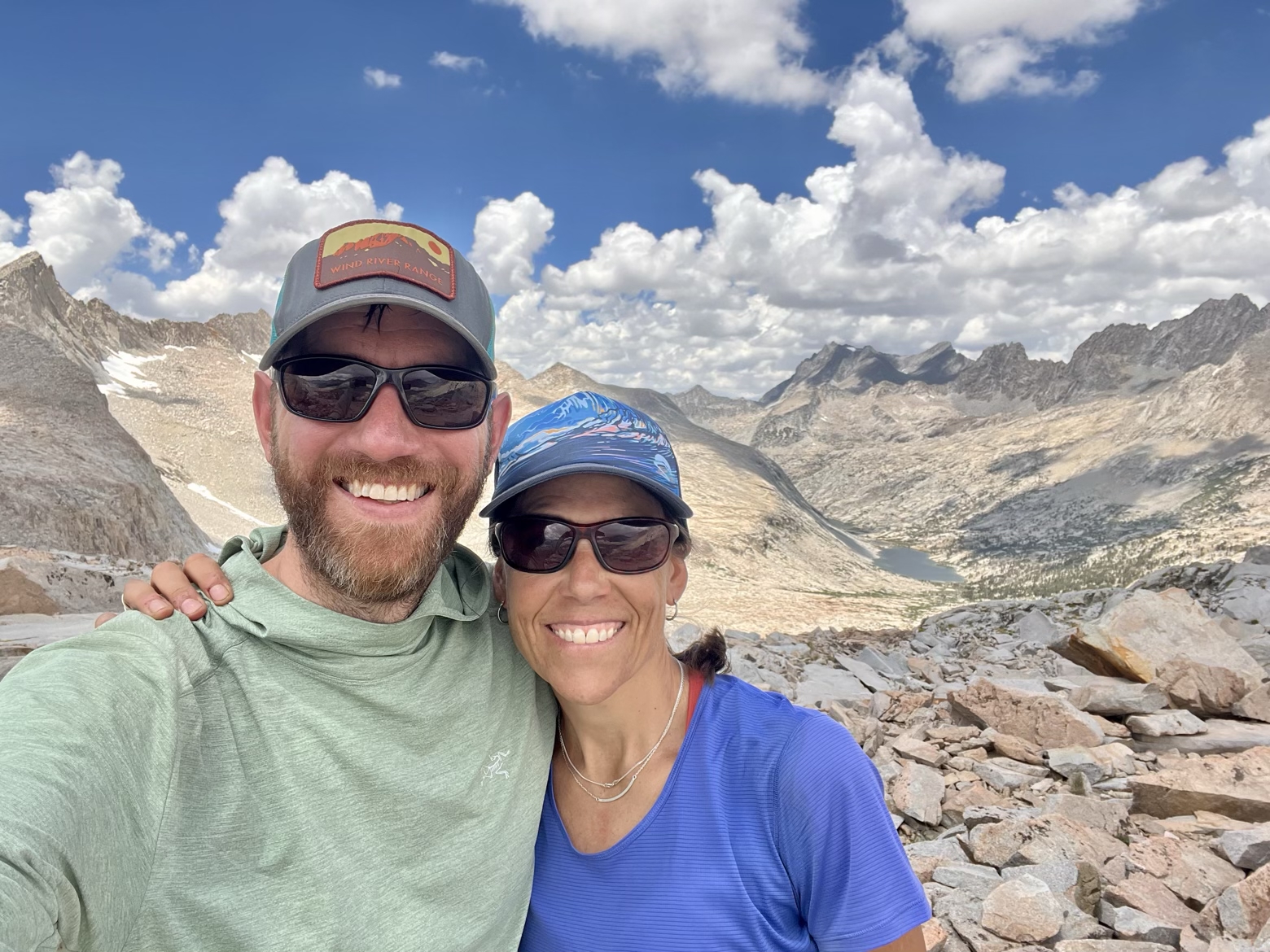
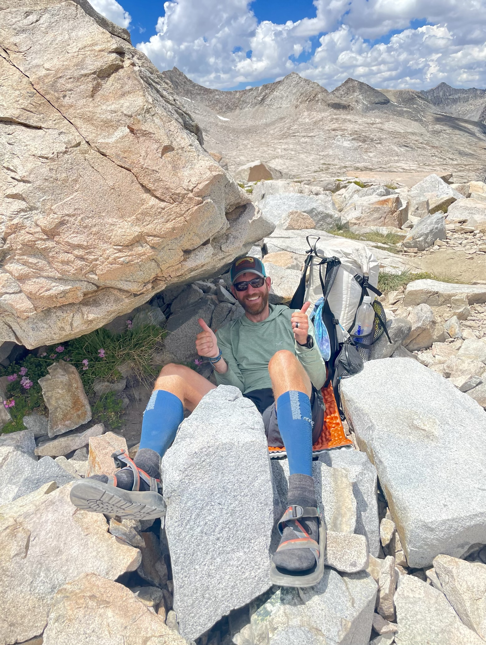
The hard work of the day now done, we tumbled downhill from the pass into the Upper Basin, a surprisingly broad and gentle plateau ringed by yet more mountains.
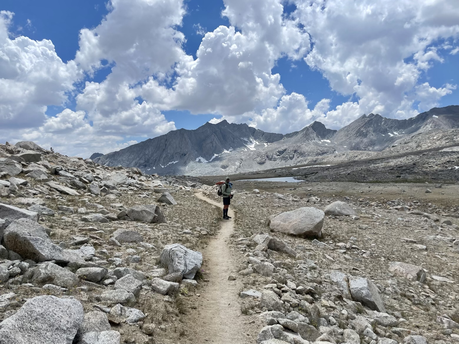
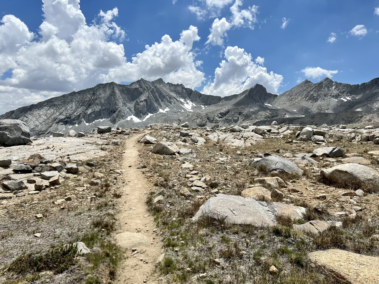
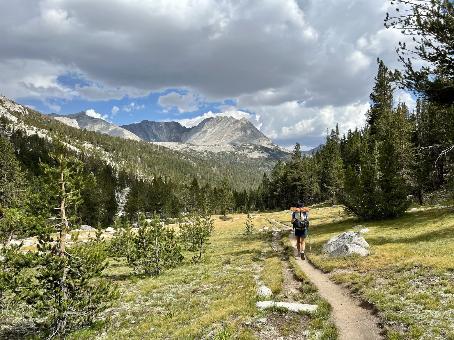
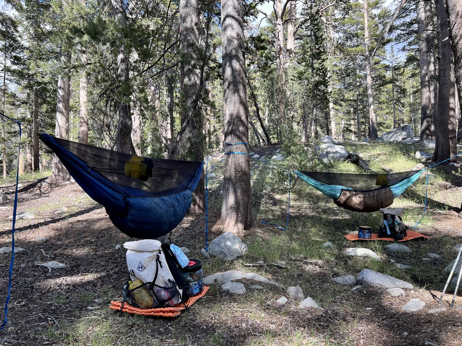
Grasses became sage, sage became gnarled whitebark pine which became lush meadows and ultimately stand upon stand of lodgepole pine. Stringing up our hammocks among them, I could finally rest my weary body, thumb through photos, and wonder: had I imagined it, or had my eyes really seen everything that the camera had captured?
Latitude/Longitude: 36.97002,-118.44381
