Date: 7/16/20
Miles: 18.6
Total Miles: 473.4
Oh sweet, sweet Colorado Trail. With another day in the books, I'm already thinking ahead to that day some 250 miles from now when the Colorado Trail and Continental Divide Trail head their separate ways, and wondering whether the CT will take its pleasure cruise of a trail along with it. In the interim, there's nothing to do other than to enjoy the hell out of it.

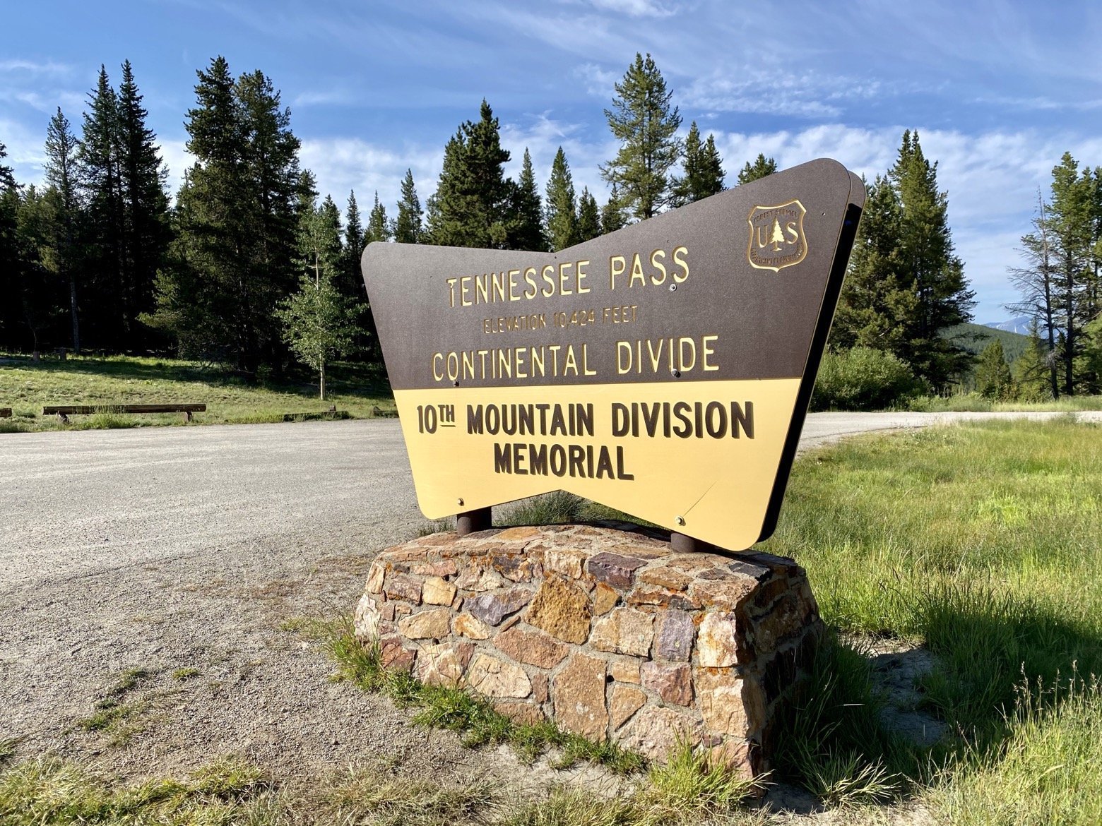
Rolling along well-graded miles with quite little elevation change, there was plenty of time to enjoy the plethora of signs along the way. First up was Tennessee Pass, which marked the divide where the Eagle River runs to the west and the Arkansas River runs to the east. It also had a large information display describing its history as the birthplace of the 10th Mountain Division, conceived as a way to enhance our military’s ability to engage German troops in mountainous terrain during World War II.
In some ways, their resounding success also launched a sizable portion of the US ski industry as returning soldiers went on to operate ski areas such as Aspen, Vail, and Arapahoe Basin. By the mid 20th century, it was thought that you could scarcely find a single ski area in the country without a large contingent of former 10th Mountain Division soldiers embedded in its operations.

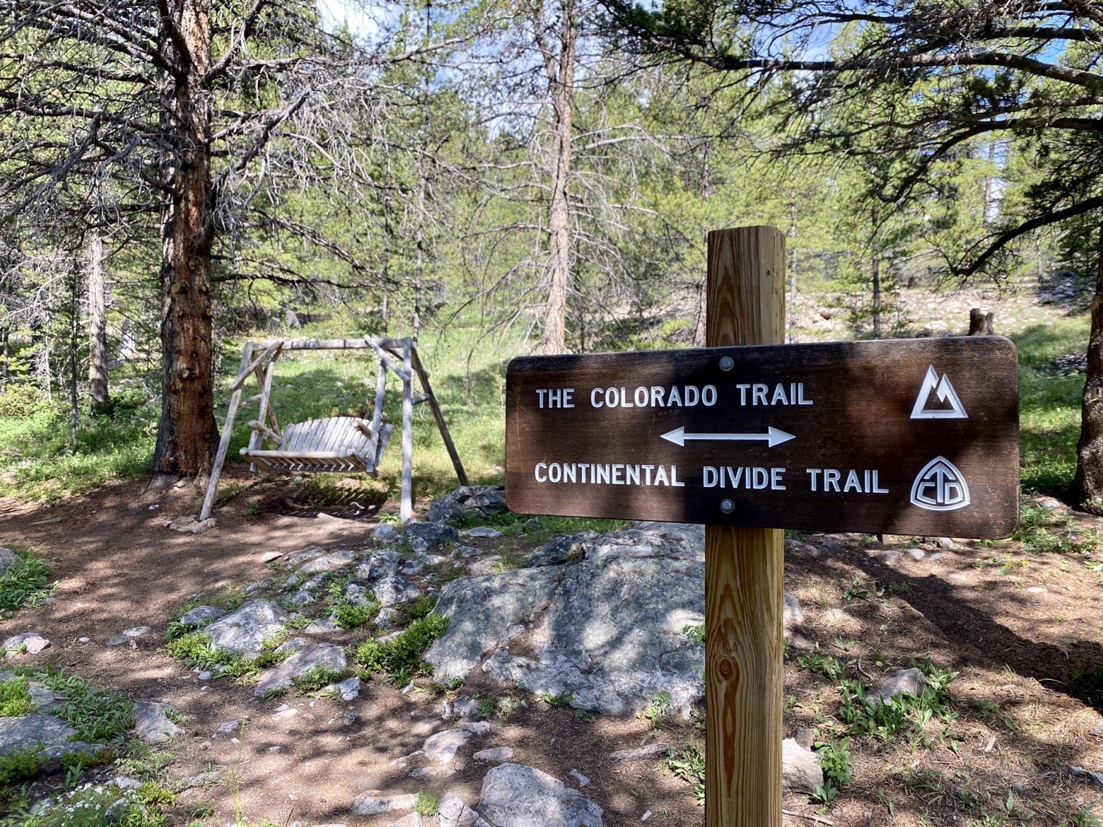
Only a mile beyond Tennessee Pass was a sight you certainly don't come by very often while out for a hike: a wooden swing beside a trail junction. I looked quizzically at it while walking past before thinking better of passing up the chance to relax for a minute or two. Being a few minutes behind Ace, Beardoh and Sweet Pea, I quietly swung myself for a few peaceful minutes.
The rest of the day passed without much fanfare, unless you count the usual teenage angst of the sky above. Once again careening from cloudless sunshine to roiling shades of gray, thunder briefly moved past before a light but steady Seattle-like drizzle settled in for the tail end of the day. When it began to pick up, we pitched a tarp to wait it out only to see it die down and then return with renewed vigor.

With a hard stop today at a trailhead parking lot, we once again ended early setting the table for a relaxing evening while the rain at last beat a retreat from whence it came. Bright and early tomorrow morning, our long lost friend Hoa will be picking us up to head into Leadville for breakfast before joining us for an afternoon on the trail.

Latitude/Longitude: 39.28562, -106.44659
