Date: 9/1/19-9/2/19
Miles: 18.7
Total Miles: 28.5
The same chorus of white noise from the brook not 10 feet from our tent that had played us a lullaby last night played us back into consciousness this morning. Leaving our campsite deep within the forest, it was time to make our way up onto a vast plateau and the blast zone that constitutes the entire northern half of the mountain.
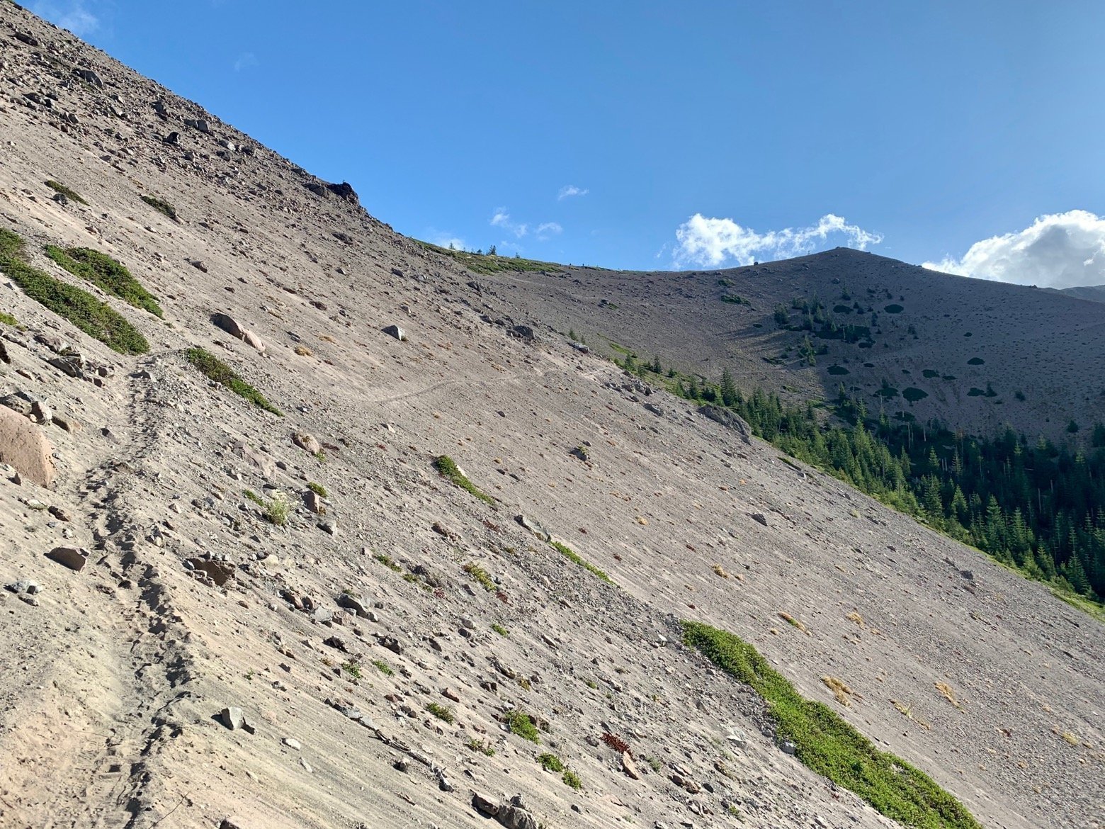
The climb was like walking up an enormous sand dune, albeit with pleasant switchbacks on a path that must be perpetually reinventing itself.
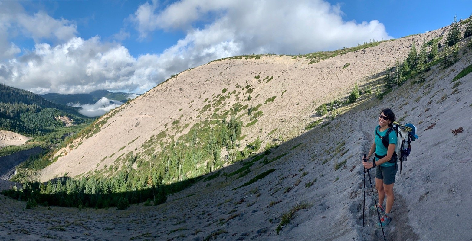
The climb up was the perfect introduction to this new face of the mountain, the South Fork of the Toutle River below serving as a line of demarcation between the pre- and post-eruption landscape. Early morning winds swept the dusty soil into wave-like curls before sending them down the steep embankments of the river valley.
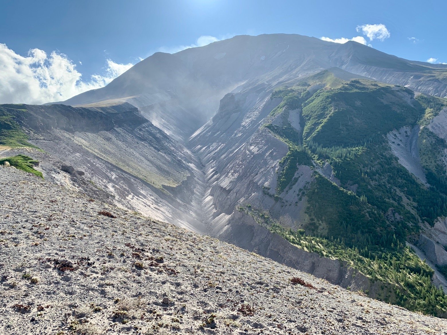
Everywhere we looked, the mountain’s constant evolution was on display—from winds that gently moved the soil about, to the glacial runoff creating newly braided drainages that perhaps hadn't been there even a year before. From above, Mt. St. Helens resembles a giant horseshoe, or at least it does today, with the opening of the horseshoe pointing north and named “The Breach” owing to the fact that this is the portion of the mountain that had given way and cast itself out for miles upon the surrounding landscape. Walking past, it's hard to shake the initial shock that thousands of feet of rock and earth seem simply to have vanished, until you realize that it's now beneath your feet.
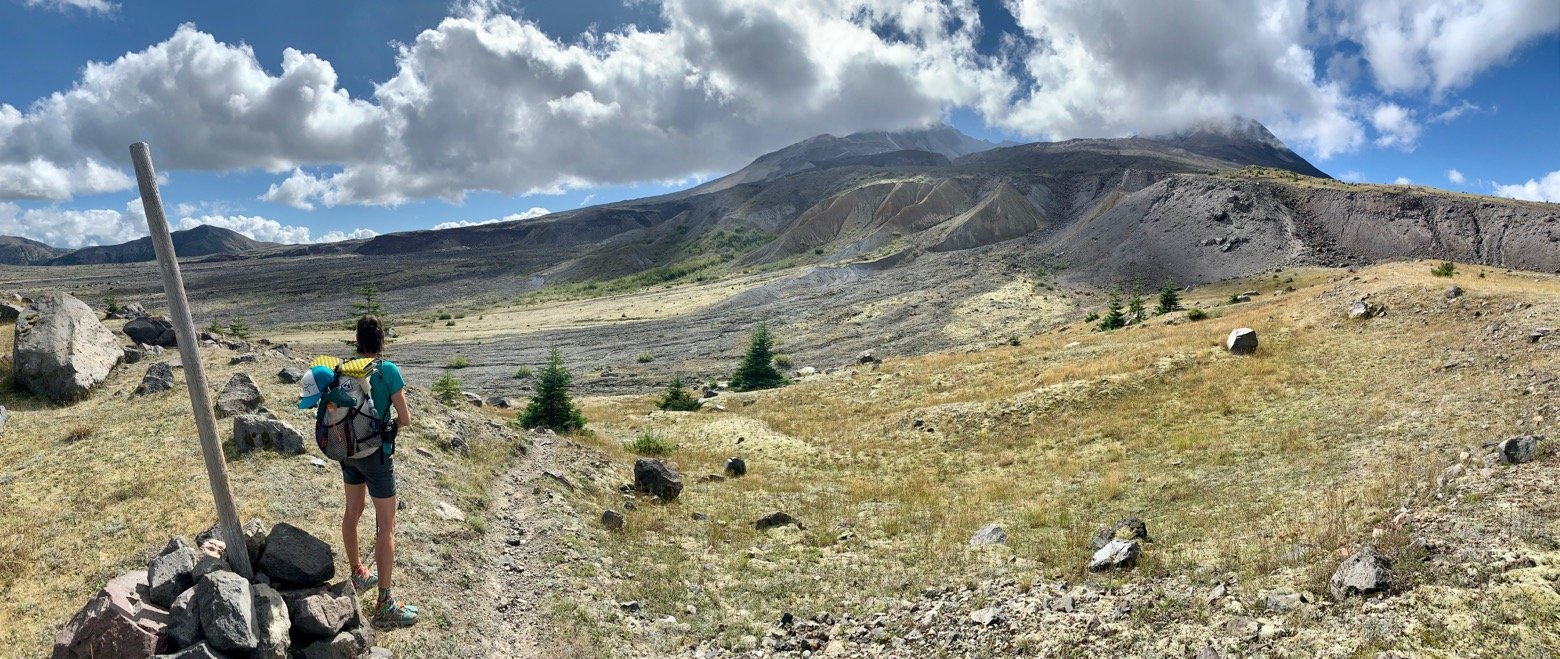
Not to take anything away from Mt. St. Helens, but we had other occasions to recognize today, namely Em’s birthday. This little lady has been my partner in crime for, well, a little of everything by now but every September we seem to find ourselves celebrating Newdle-palooza—the 4 days spanning both of our birthdays and our wedding anniversary—off on a quiet trail, taking in the wilderness together. Imagining it with anyone else is almost comical.
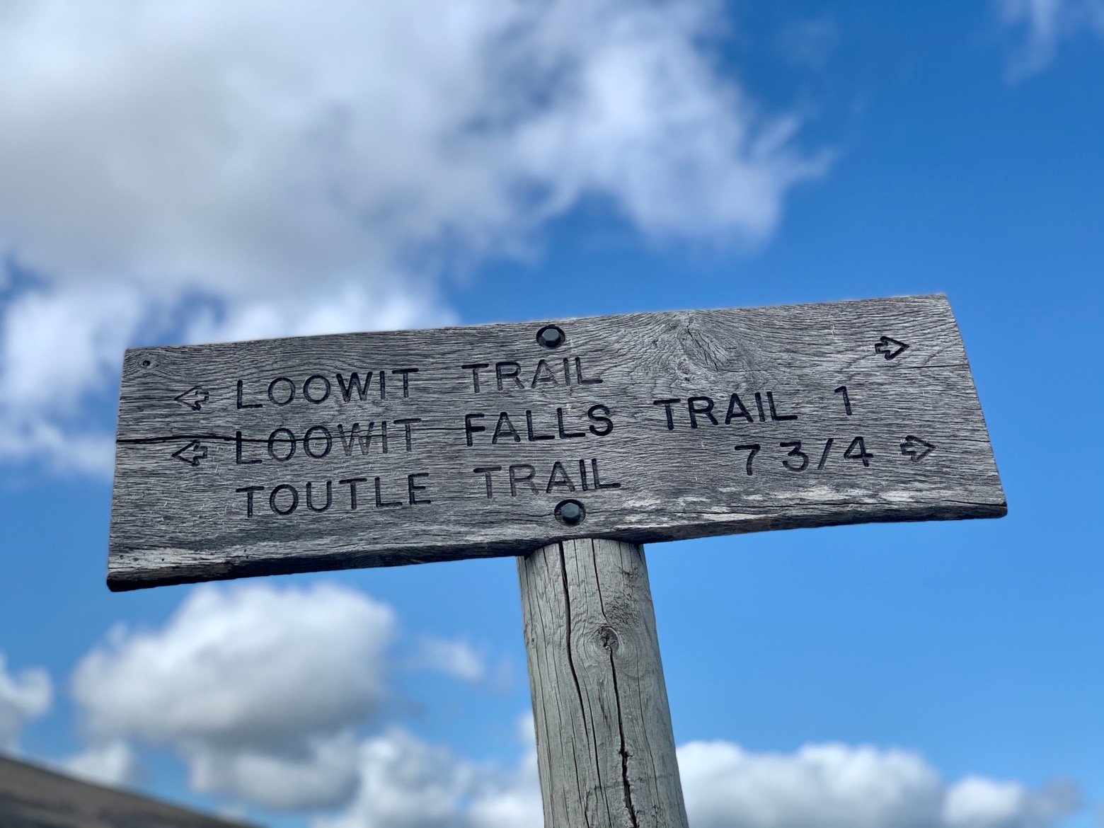
You'd be forgiven if you equate hiking in the Pacific Northwest with a surplus of water around every bend—I usually do too. But the Loowit Trail—particularly in late summer—is an unusual one in that over its entire course, we’ll have encountered exactly 2 water sources. Sure, there are a few other creeks of glacial runoff along the way, but their cloudy, almost chocolate milk-like appearance hints at the volume of silt they hold in suspension, waiting to crush the dreams of your water filter.
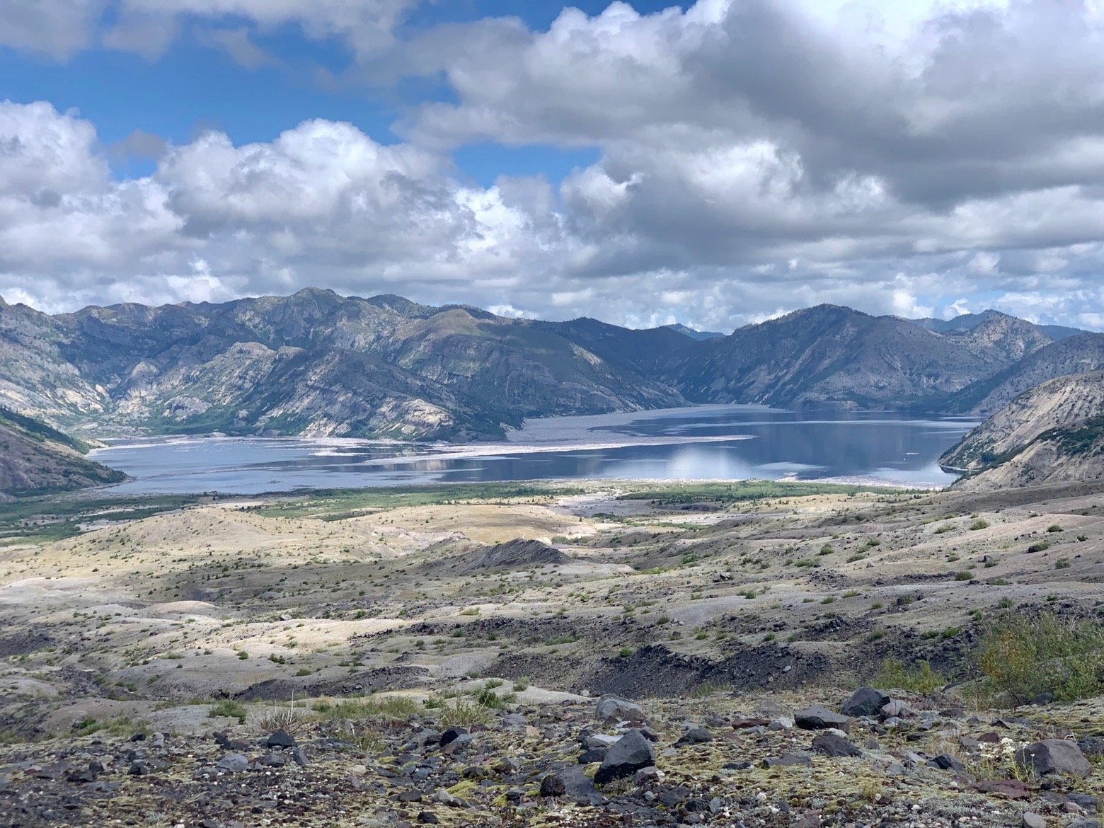
Leaving the second of those two water sources—a blissfully clear and cold rushing spring—we had enough water in tow to get us the rest of the way around the loop. Making our way toward the trail’s high point at Windy Pass, we’d occasionally look back down to Spirit Lake, a body of water whose elevation, depth, and shoreline had been completely rewritten by the 1980 eruption. With a front row seat to nature’s wrath that day, watching the mountainside come racing down towards it, the lake that until those moments had been an idyllic alpine setting responded by sending its waters nearly a thousand feet up the surrounding hillsides, displaced by the millions of tons of rock and soil that were suddenly thrust upon it. By the time the fury had settled, Spirit Lake was not only a cauldron of toxic volcanic gases but was also a full 200 feet higher in elevation than it had been. Standing here, it’s hard to reconcile the obvious paradox that in this now tranquil place such a cataclysm had once unfolded.
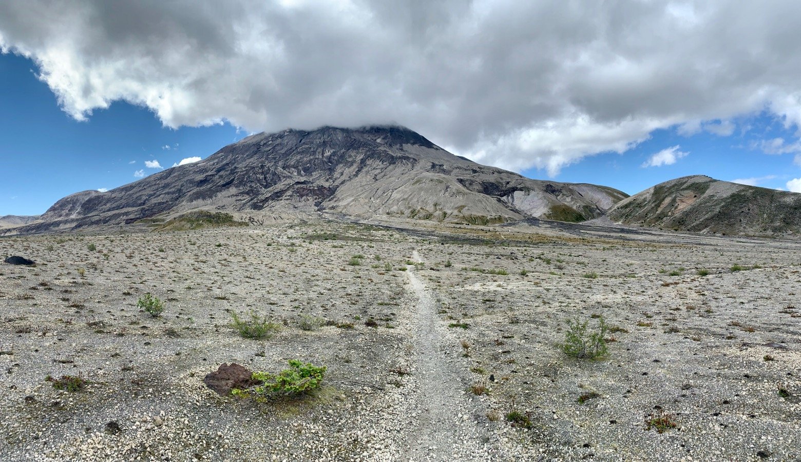
Climbing past the mountain goats whose white coats dotted the mountainside, the crackle of electricity had filled the air yet again, which presented a puzzle. Seeing as how the nearest power line was miles away, where could that sound be coming from? As it stopped and started again, a pair of light yellow wings appeared, flapping in a rhythm matching that of the electricity. The little power plant I’d been hearing? A little insect resembling a grasshopper with wings. A cicada, perhaps?
Descending from the saddle of Windy Pass, it didn’t require a lot of imagination to suspect that most days aren’t quite as benign as the one we now enjoyed. The expansive flat plains that unfold on the mountain's eastern flank have the look of a place where plants are fearful to grow too tall.
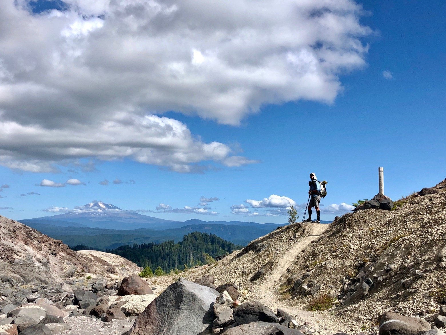
Down. Up. Rinse. Repeat. Beyond the pleasant stroll through those uncharacteristically flat plains, the trail became an up-close study of erosion, crossing one glacial drainage after another over ground the color and consistency of moon dust, each step subtly reshaping the ground immediately around it. Watching my feet so easily displace the earth beneath them reminded me of a similar effect on a handful of places on the Wonderland Trail that circumnavigates Mount Rainier, just out of view to the north, but also how different that trail is to this one. Where the Wonderland Trail is old-growth forests with cathedral-like silence, alpine meadows choked with wildflowers, and glacier-clad visual bliss, the Loowit tells the story of a volcano in an altogether different state of existence, wearing its scars for all to see. It is the prose to the Wonderland’s poetry.

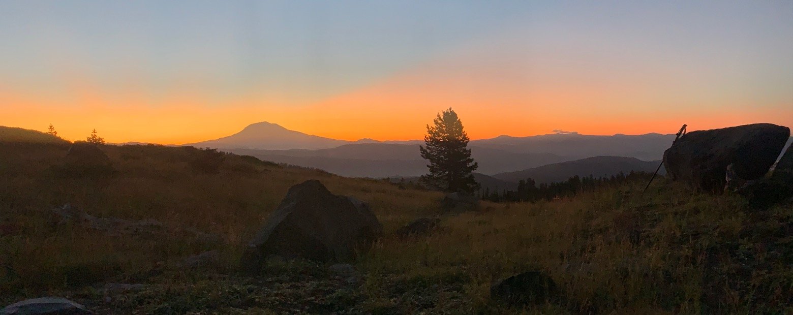
With the last of the wash crossings at our backs, we climbed over a small rise to find Mt. Adams greeting us from the east. Just another massive volcano for our viewing pleasure, and with only a handful of miles left to complete the loop, we decided instead to set up camp early and enjoy one last night on the trail with a front row seat to that very view. While St. Helens whipped up a frenzy of its own clouds behind us, there was nothing but blue sky looking out from the front door of the tent on our little perch beside the trail.
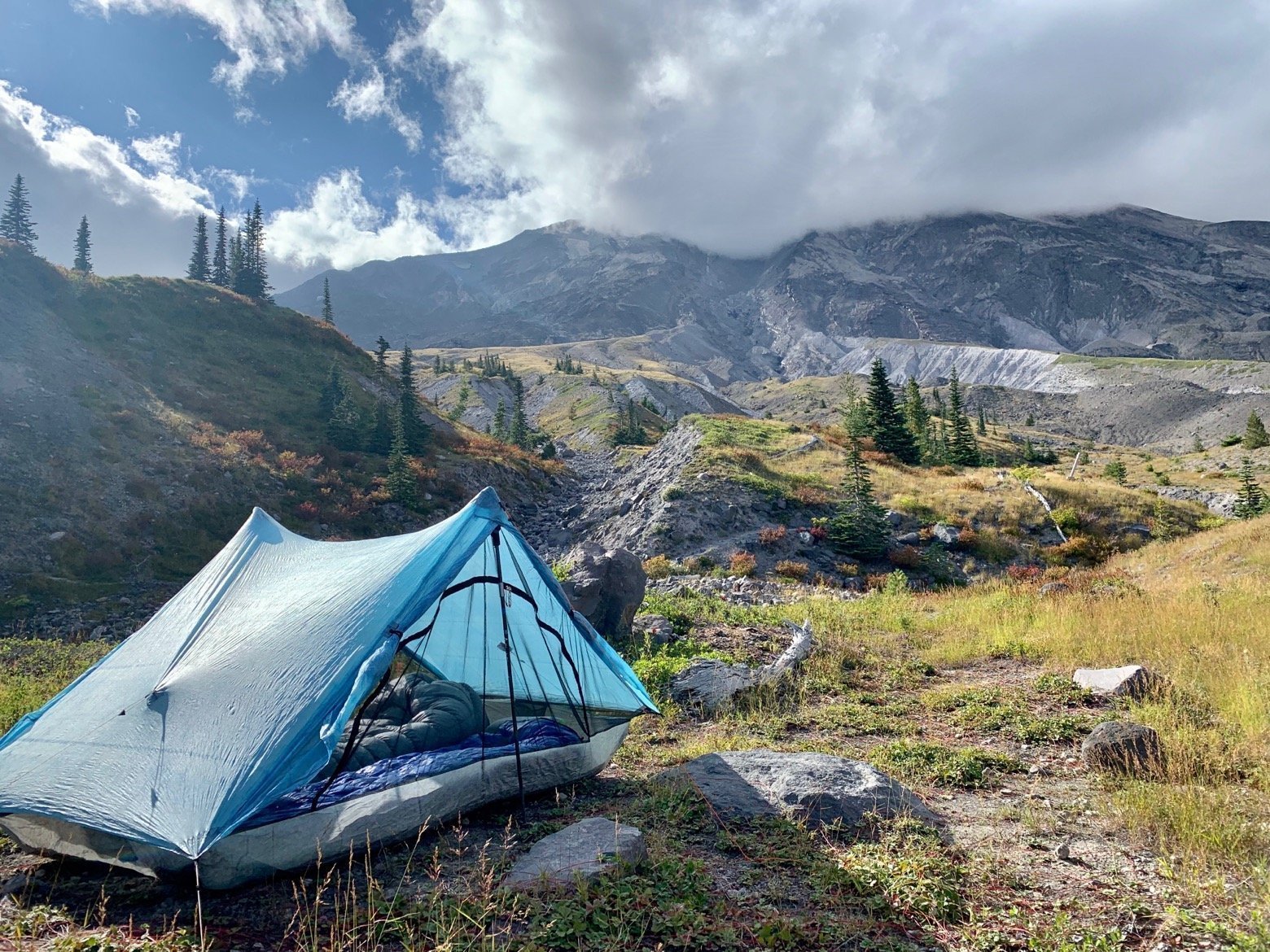
The smoky apricot sky that swept away the stars is the kind of thing you know happens every single morning, but only out here do you really stop and take notice of it. As it woke up the landscape, so did we, in no hurry to rush through our morning coffee or finish the remaining miles back to the car. Not with views like this.
