Date: 8/31/19
Miles: 13.8
Total Miles: 13.8
Four months before I was born and a small, towheaded terror was introduced to the Brownscheidle household, an altogether different sort of terror was unleashed on the Pacific Northwest not far north of the Columbia River that divides Oregon from Washington. On May 18th, 1980, what began as a modest earthquake ended with the most devastating volcanic eruption in U.S. history. Within minutes, nearby rivers and lakes had been completely relocated, whole forests laid to waste, and a clear quarter mile of what had been the mountain’s summit had been cleaved off, leaving it 1300 feet shorter than it had been that morning. The machinations of landscape change that are typically hidden by a veil of time had suddenly been thrust into hyper speed.
I was always fascinated by the eruption of Mt. St. Helens and the raw force of nature that had been wrought upon the landscape that day. In the early 2000s, that fascination was renewed as local news began reporting that the mountain that had remained quiet for the 25 years since had begun to belch steam and grow a new lava dome at an alarming rate. Now a full 39 years later, the mountain has returned again to a peaceful slumber and, little by little, life has returned to the same slopes that had been wiped clean and buried under flows of rock, debris, and ash.
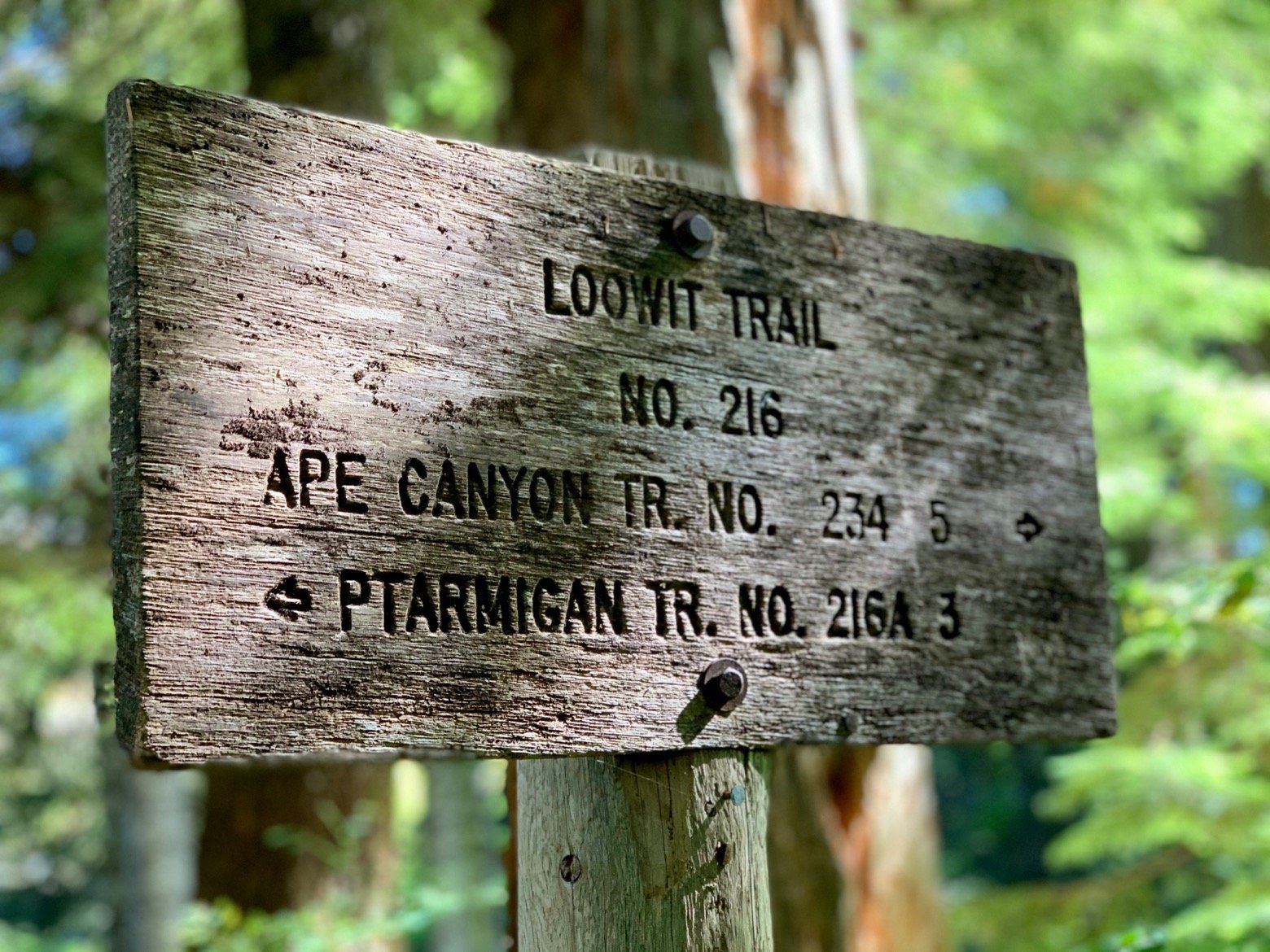
Wrapped around this gem of living geologic history is the Loowit Trail, a route of a little more than 30 miles that affords hikers a front row seat to the story of both the destruction and the renewal of Mt. St. Helens. After years of wanting to hike the Loowit, the waiting had come to an end as Ace and I pulled into the June Lake trailhead parking lot and climbed up to start the loop.
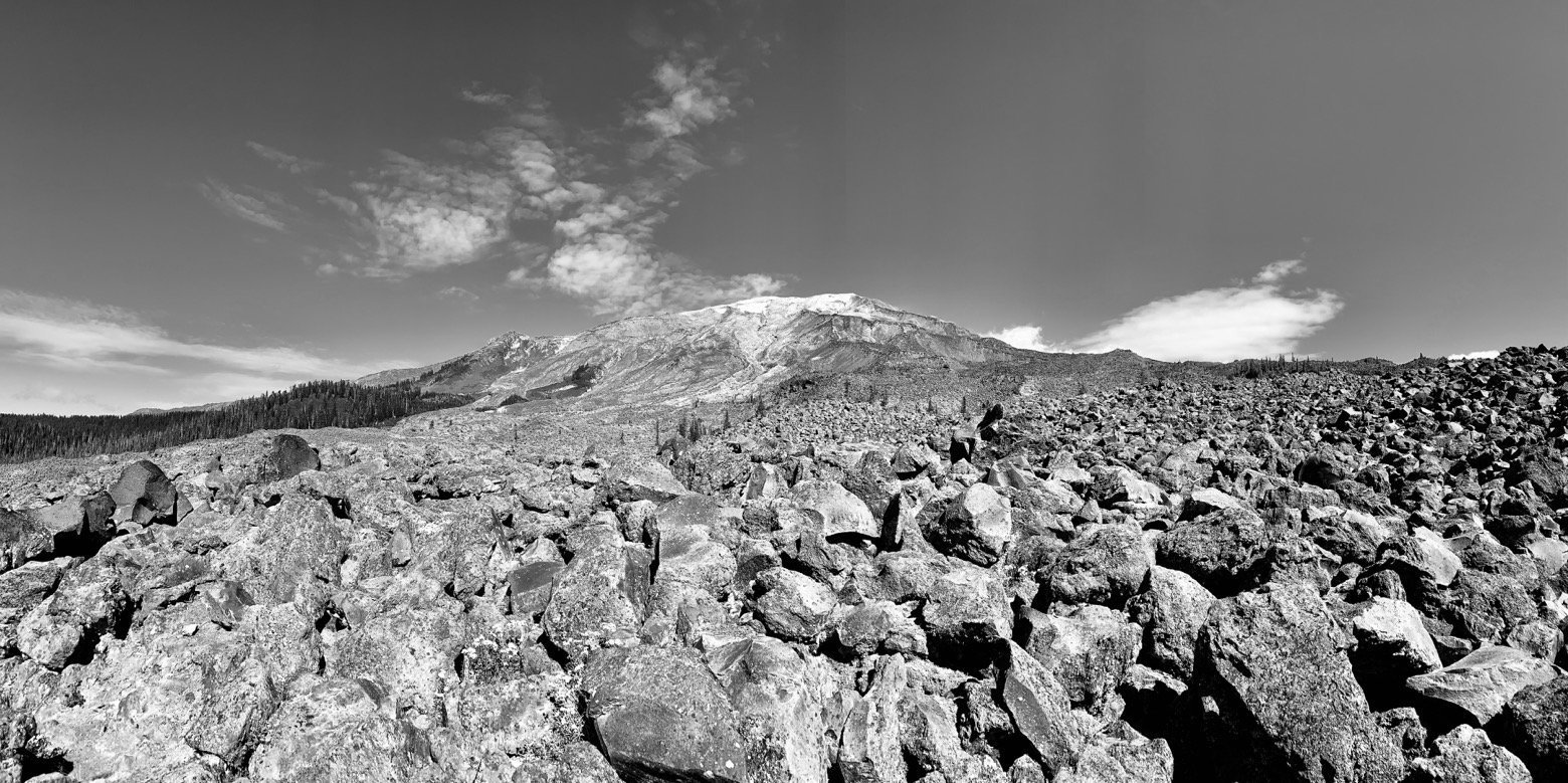
“Who put all these rocks here?”, was the internal monologue I had on repeat as we crossed several massive fields of barren lava rock before abruptly entering into shady stands of lodge pole pine and Douglas fir, only to have the cycle repeat itself.
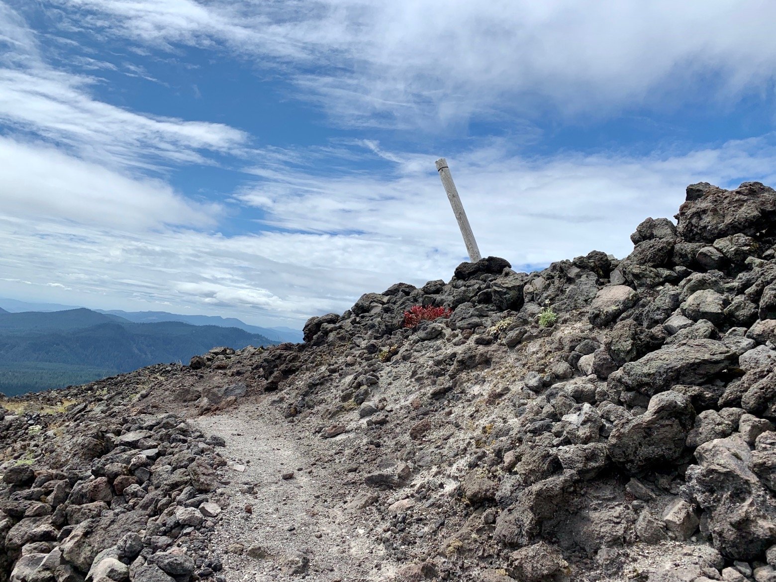
On it went, the sun intensified by the heat of the jumbled mess of lava rock that formed a kind of blanket—albeit an abrasive, uninviting one—strewn across a thick layer of dusty earth. By early afternoon, we were descending along the rim of a particularly deep wash whose walls most closely resembled sand dunes, except pocked with all manner of stones and boulders. A mini rappel followed by a mini scramble later courtesy of the fixed ropes that had been installed, and we were back strolling along on the far side.
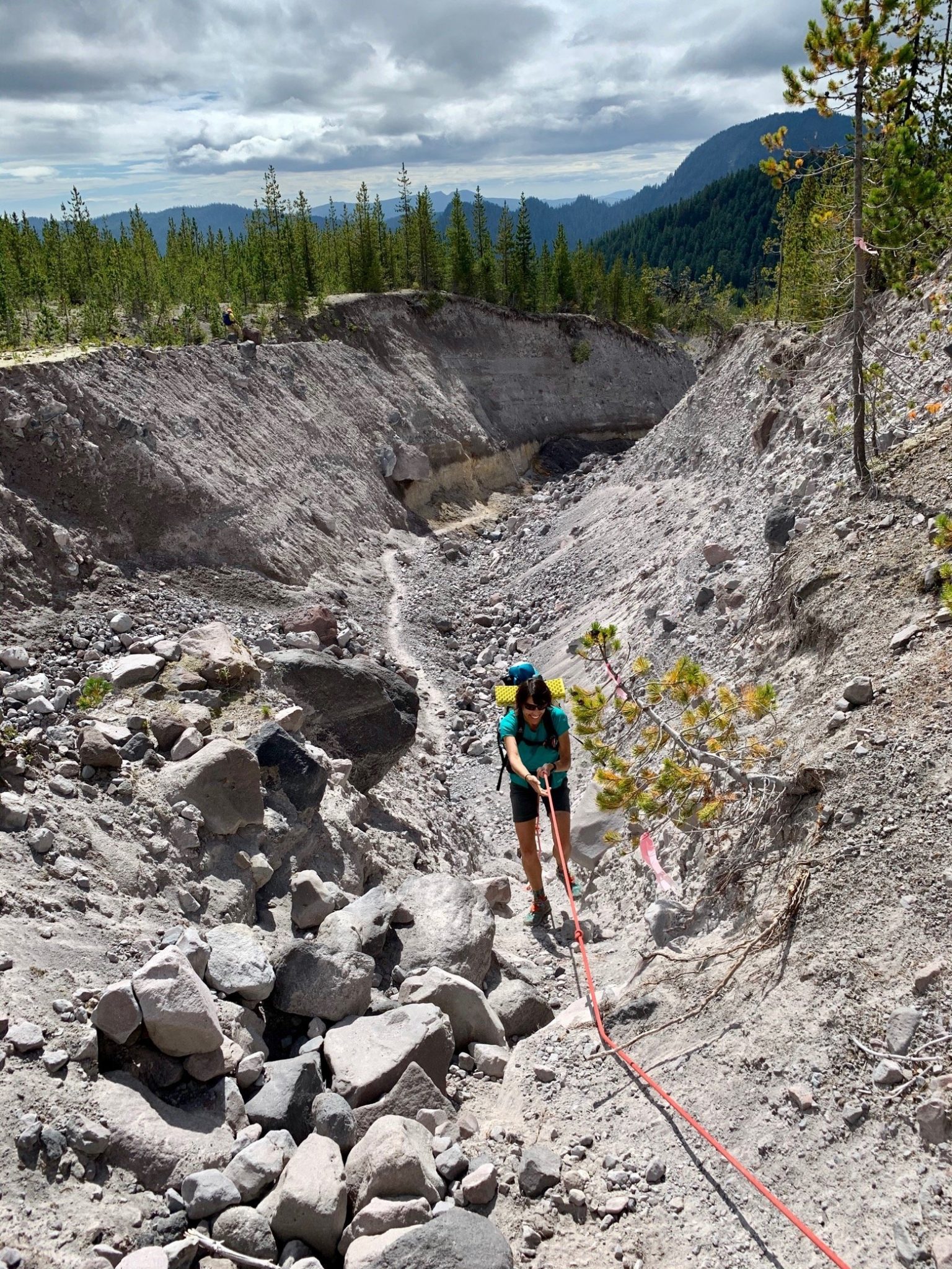
One dry drainage after another, it was pretty apparent that we weren't going to be seeing any water until the end of the day, which isn't uncommon here in late summer. Under the intense sun, we both wished for more than the liter and a half of water we'd each started with.
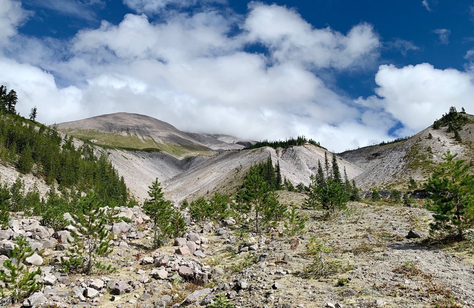
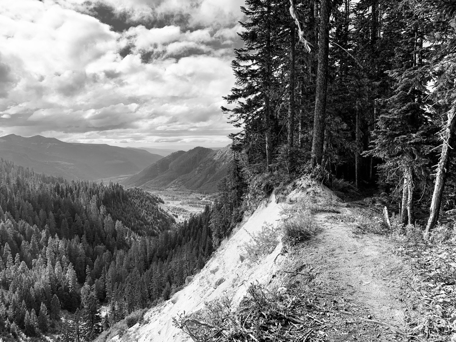
Cresting the day’s final ridge before our descent to the South Fork of the Toutle River, we had our first view into the beginning of the blast zone where the mountain’s north side unmoored itself nearly 4 decades ago.
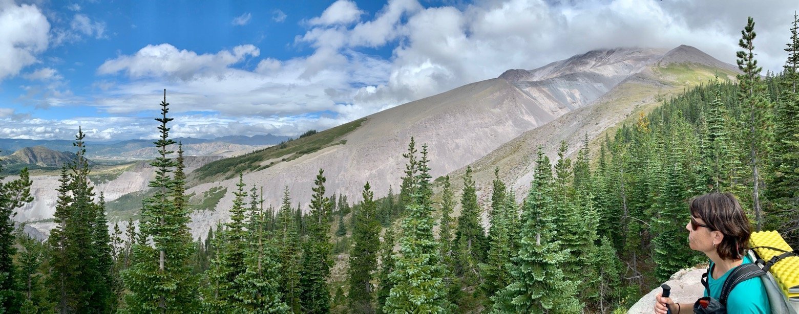
And on the way down we were reminded of why late summer hiking in the Cascades is so incredible, aside from the scenery and ebbing of the summer heat—plump, ripe huckleberries growing in thickets. It was even enough to quench my thirst a bit as I nursed the remaining few sips of water I had left.
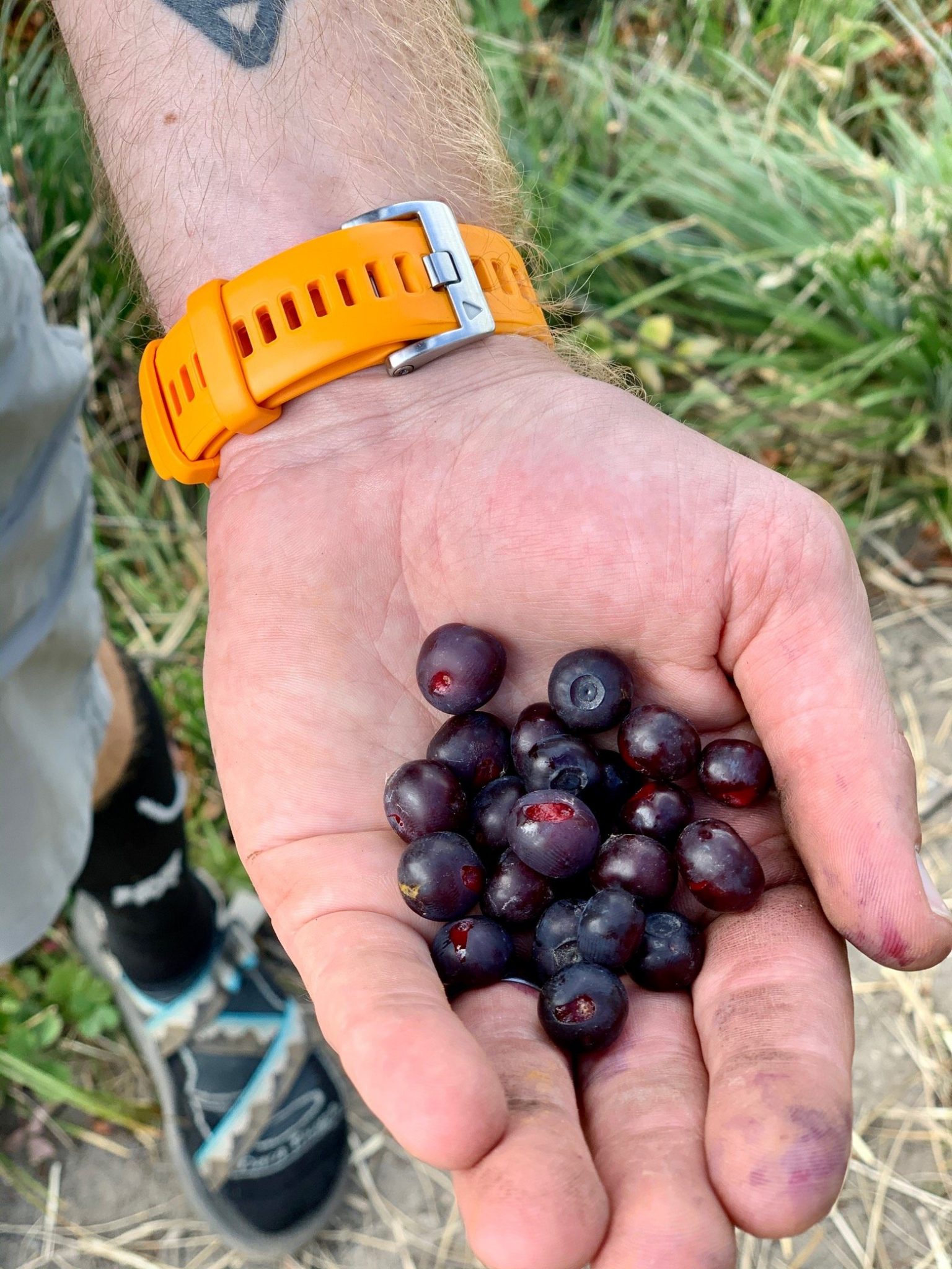
With hands stained of dirt and huckleberry juice, down and down we went until the Toutle River was no longer just a far-off sound marking the promise of cold water. The prologue behind us, tomorrow’s hike will take us up close and personal on a history tour of destruction and rebirth.
