Date: 7/13/22
Miles: 11.3
Total Miles: 149.9
To wake with the realization that you’re not on the trail you’re supposed to be, might normally be cause for alarm. But in this case, it was by design.
The “trouble”—if it can be called that—with the Sierra is the fact that it comprises one of the largest roadless stretches of wilderness to be found in the continental United States. When northbound thru-hikers of the Pacific Crest Trail set off from the outpost of Kennedy Meadows, they leave behind any sign of blacktop or gravel for nearly 240 miles until they arrive at Tuolumne Meadows in Yosemite National Park. It is an incredibly rare opportunity to be immersed—in the truest sense of the word—in wilderness.
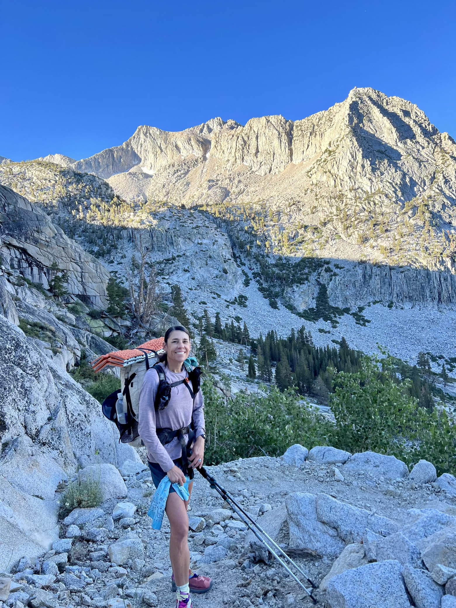
Considering that the JMT shares roughly 160 trail miles with the PCT, a similar, albeit slightly smaller, version of the same “trouble” exists, and it poses a specific problem: how exactly does a person carry enough food to cover the distance between those road crossings, and their respective opportunities for resupply?
The short answer: they don’t. Which brings me back to why it was not in the least bit alarming to wake up this morning to the realization that we were not, in fact, on the John Muir Trail.
Late yesterday afternoon, we did what, on the surface, sounds like a mistake. Having arrived at a 3-way trail intersection, two options of which were the John Muir Trail, we went with door number three. Away we went, putting distance between ourselves and the trail that has been our home for the past 8 days.
In exchange, the promise of a resupply box was the reward at the end of a 13-mile rainbow that also led us through uncharted territory.
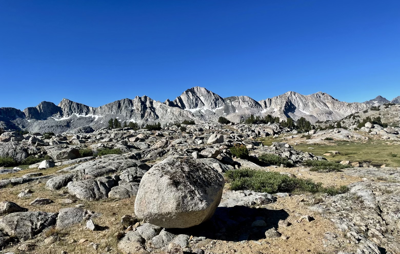

Between us and that resupply box was no ordinary stroll to the nearby post office or supermarket. Standing in the way was another 12,000-foot pass, this one unknown to both Ace and I from our previous trips through the Sierra.
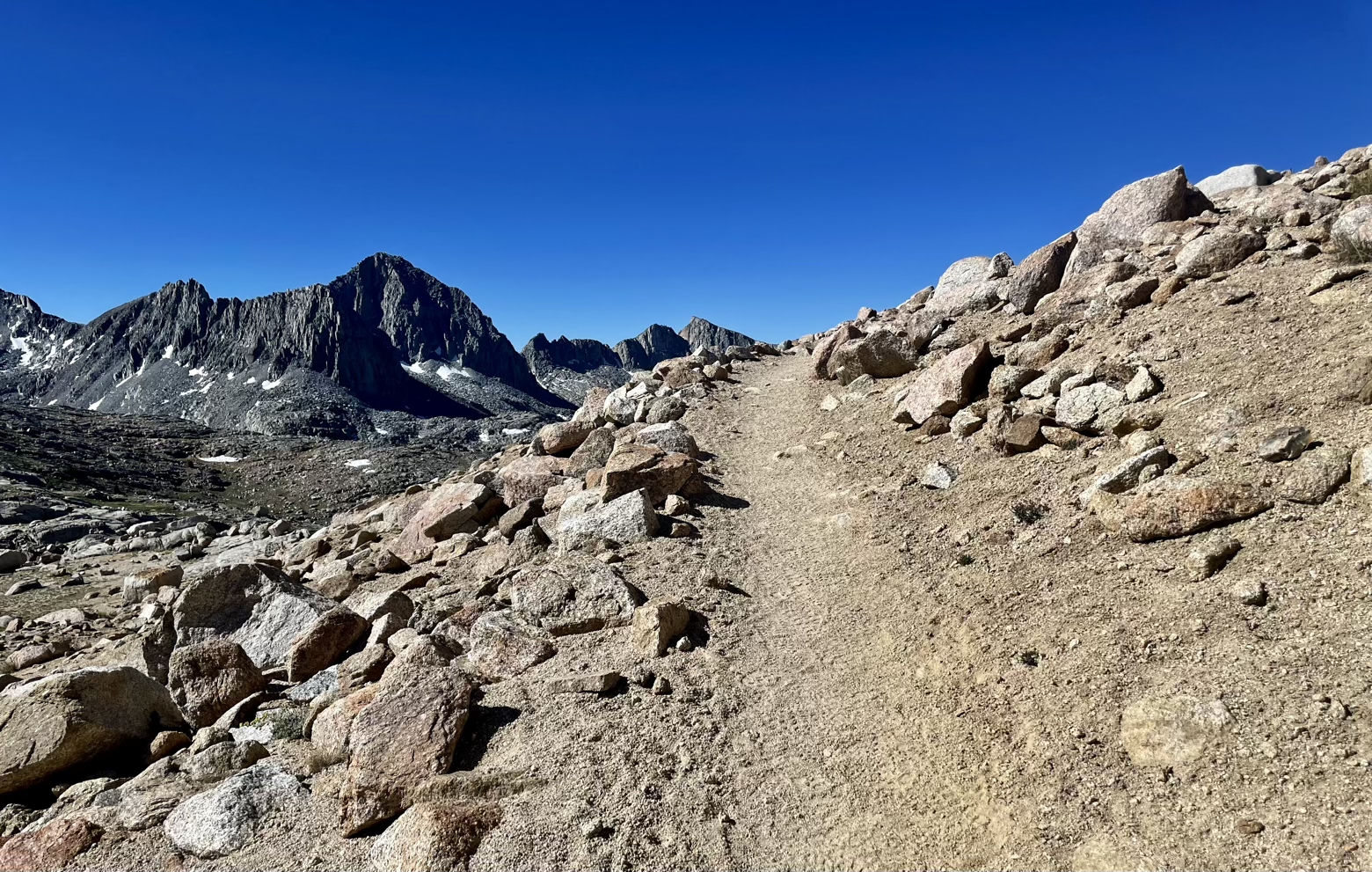
Bishop Pass is a less frequently traveled resupply route, both for John Muir and Pacific Crest Trail thru-hikers, owing in part to the fact that it is a few miles longer to traverse than its more common alternative to the south, Kearsarge Pass. But the scenery it unveiled certainly made the miles worthwhile.
Climbing abruptly away from the JMT on a lengthy series of switchbacks, the trail broadened into the expanse of Dusy Basin, a jaw-dropping arena of meadow, bisected by a meandering stream, and ringed with the massive towers of the Inconsolable Range. Mountains with names like Cloudripper, Vagabond, Thunderbolt, and Picture Puzzle tore at the blue sky.
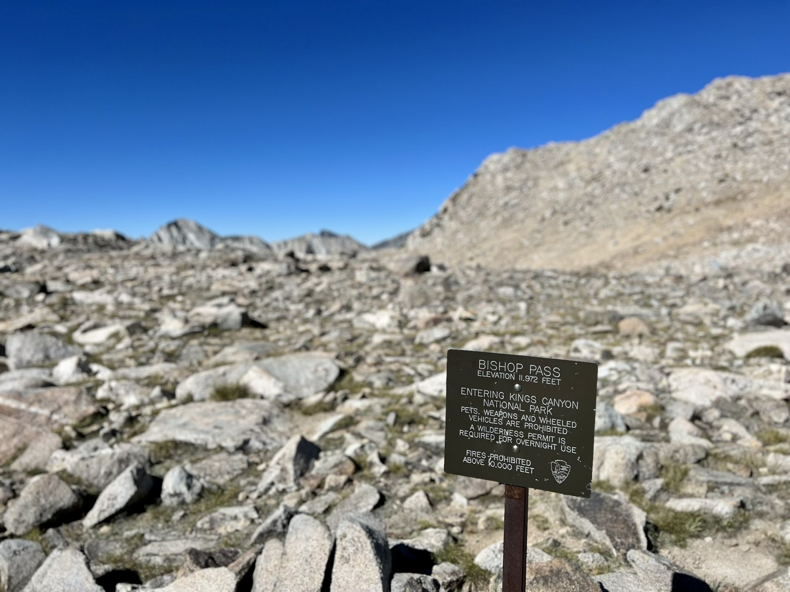
Finally reaching the broad saddle of Bishop Pass, we waved goodbye to Kings Canyon National Park and embarked on a descent nearly as lengthy as the ascent we’d only just finished.
Our first sight was of a Civilian Conservation Crops crew doing the most unexpected work I could think of: shoveling snow at nearly 12,000 feet. I couldn’t help but ask the obvious question: why? The crew, in perfectly good spirits, provided the answer: to clear the trail for stock travel.
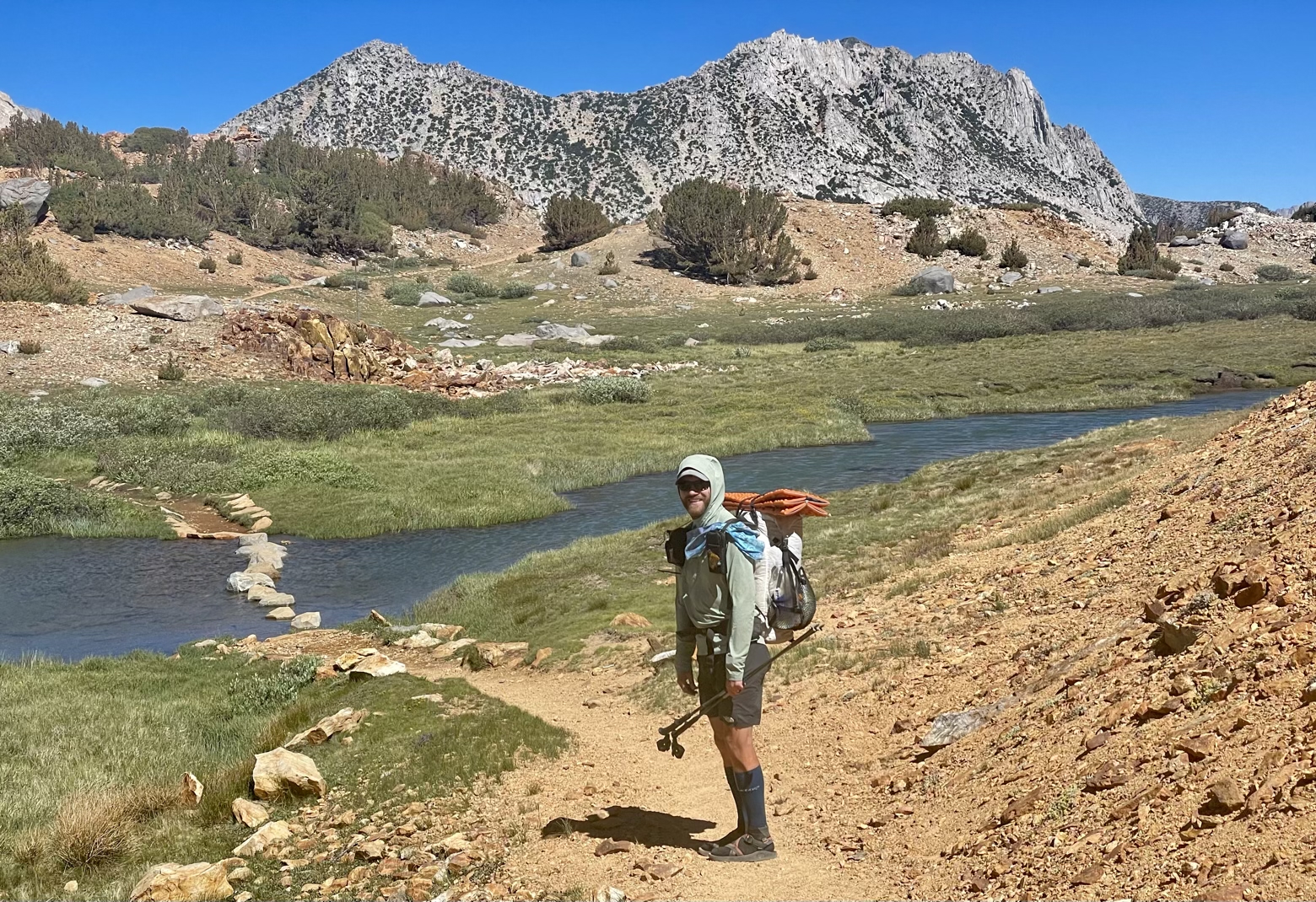
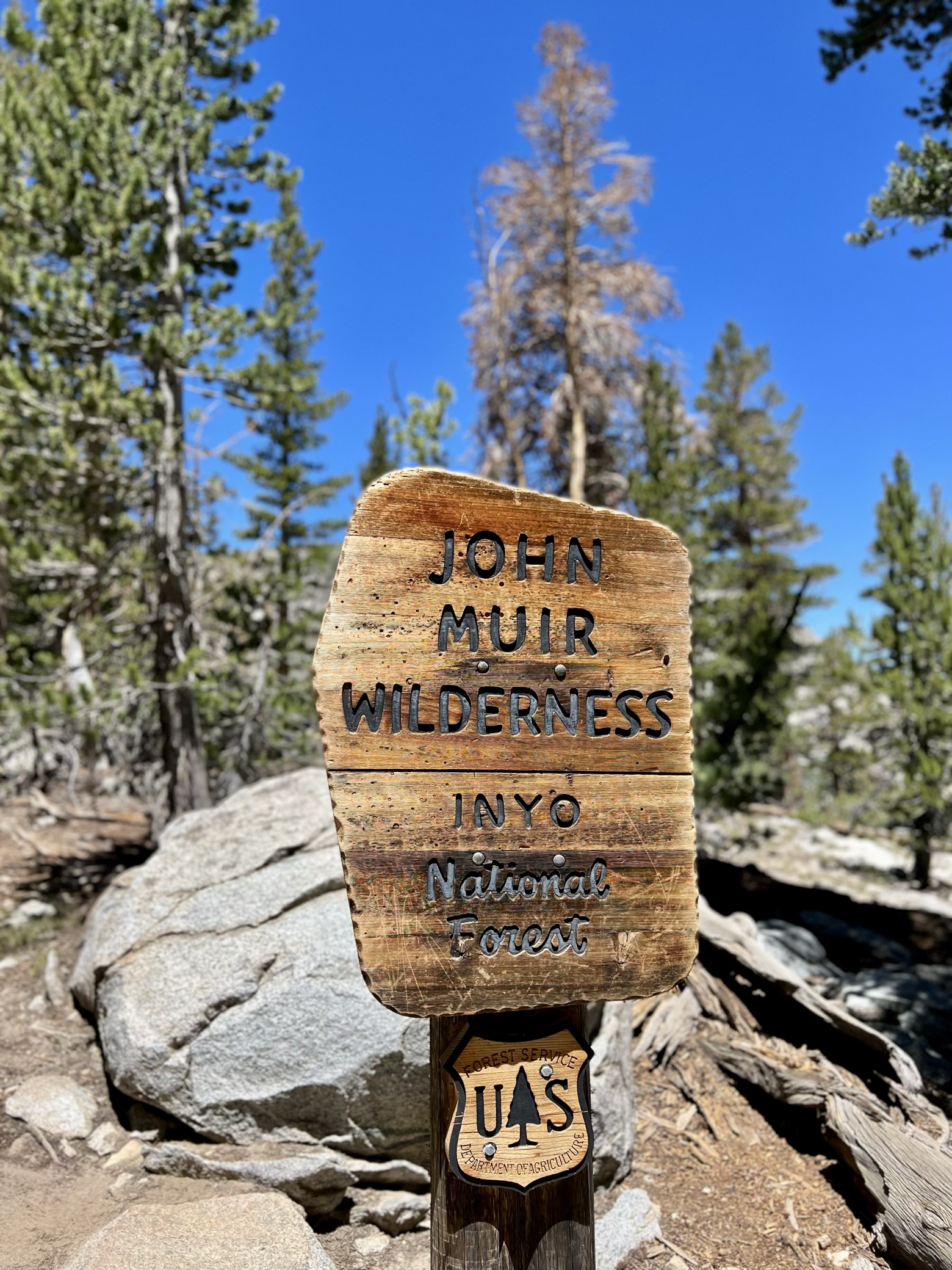
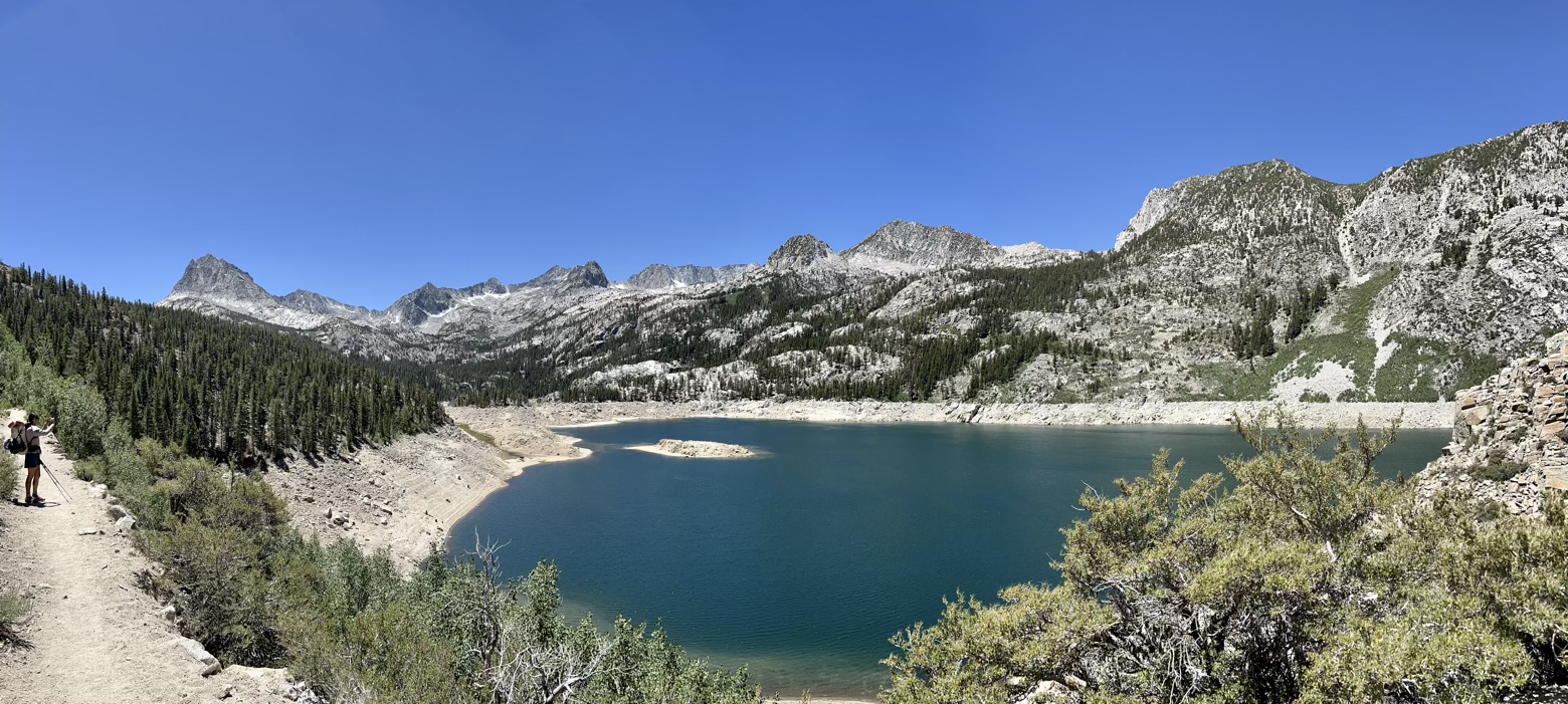
Down past the hairpin switchbacks, down past lakes the color of sapphire bleeding into emerald, we reached the end of the trail at South Lake, a spectacularly beautiful reservoir now turned dead pool. The bathtub ring high above its surface and the dry dam that now appeared wholly unnecessary, told the entire story: water in these mountains is not what it should be.
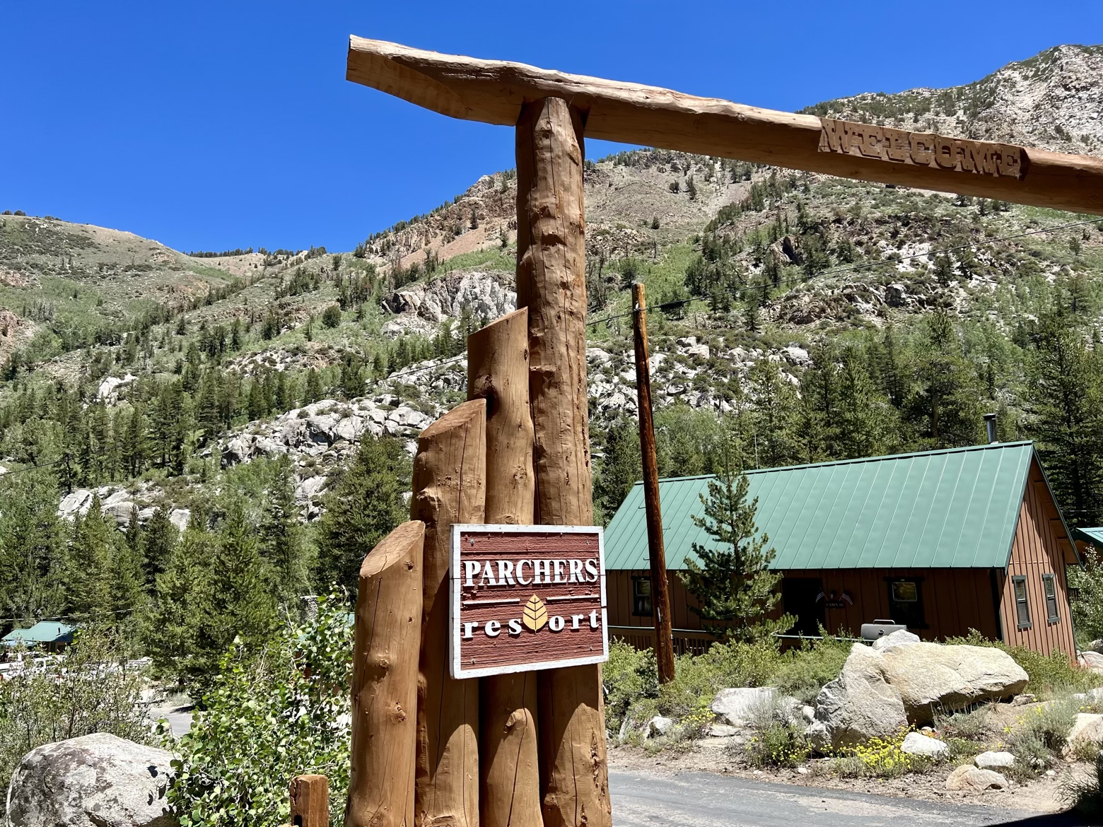
A short road walk from the trailhead at South Lake finally brought us to our destination: Parchers Resort. Awaiting us was a second and final resupply box whose contents will take us all the way to Mount Whitney and the end of the John Muir Trail.
Far from the civilization of the Owens Valley thousands of feet below—and an internet connection of any kind—Parchers is a resupply stop that feels made for the JMT. Only one night will come and go before we retrace every single one of the steps we made today to return to the JMT. One more night where the spell of the Sierra remains unbroken.
Latitude/Longitude: 37.18514,-118.55791
