Date: 8/14/21
Miles: 12.7
Total Miles: 211.0
It was not an acoustic illusion. The deafening rain on the shelter’s metal roof hadn’t been lying after all, the wall of gray having unleashed a flurry of drops that matched the maddeningly loud sound above our heads. Eyes and ears in agreement, it was undeniably pouring.
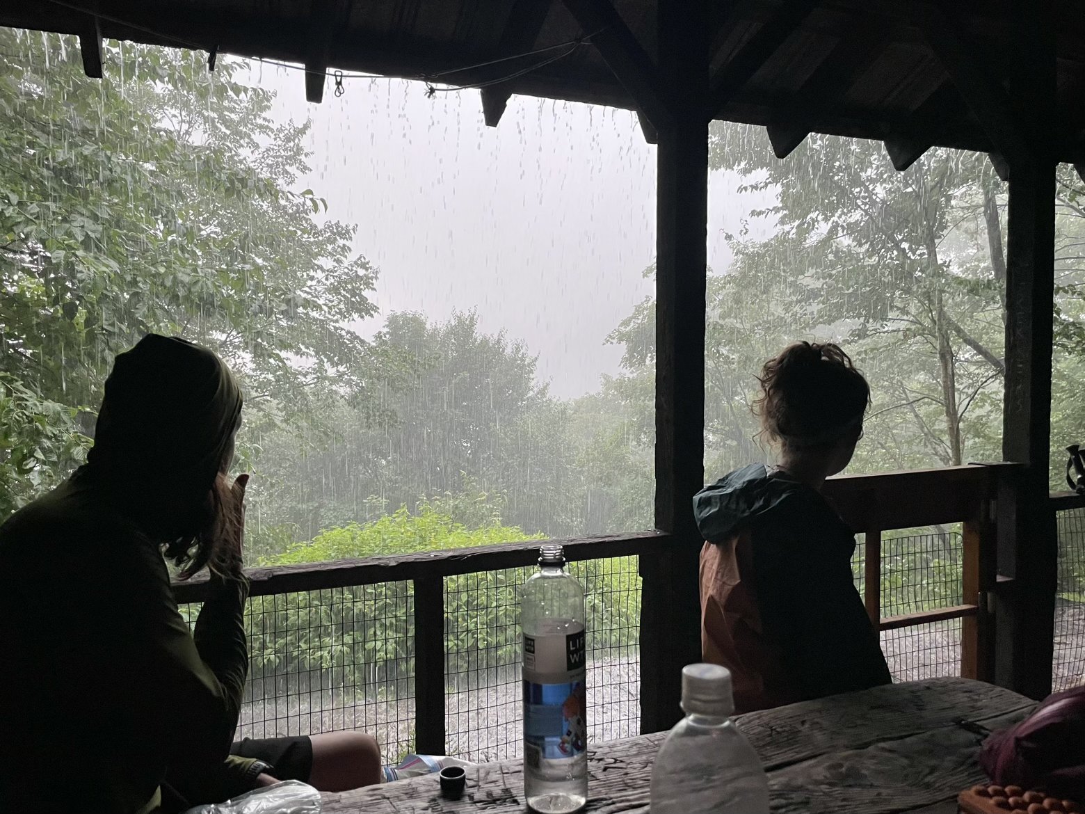
Along with our shelter-mates and fellow northbound thru-hikers, Colleen and Rich, we stared quietly out of the shelter’s open front porch, mesmerized by the onslaught of an angry sky. With a steep and, at times, scrambling climb to the highest mountain in Vermont there was no rush to don rain jackets and dash into the storm. Knowing that this rain was expected and that the cavalry of clear, mercifully cooler weather was fast on its heels, the real question was: when exactly would it arrive?
At the first pause lasting more than a few minutes, we made our move hoping that we’d be lucky enough to have the worst of the rain be chased away by the time we reached the summit ridge of Mt. Mansfield. At 4,393 feet, Mansfield—like most of the rugged peaks of the northeast—doesn’t need a lofty elevation to make its impression.
Viewed from either the east or west, its 2-mile long summit ridge has the appearance of a person’s face seen in profile, and the various features are named as such. The Forehead, the Nose, the Lips, and the Chin span the length of a rocky spine from south to north.
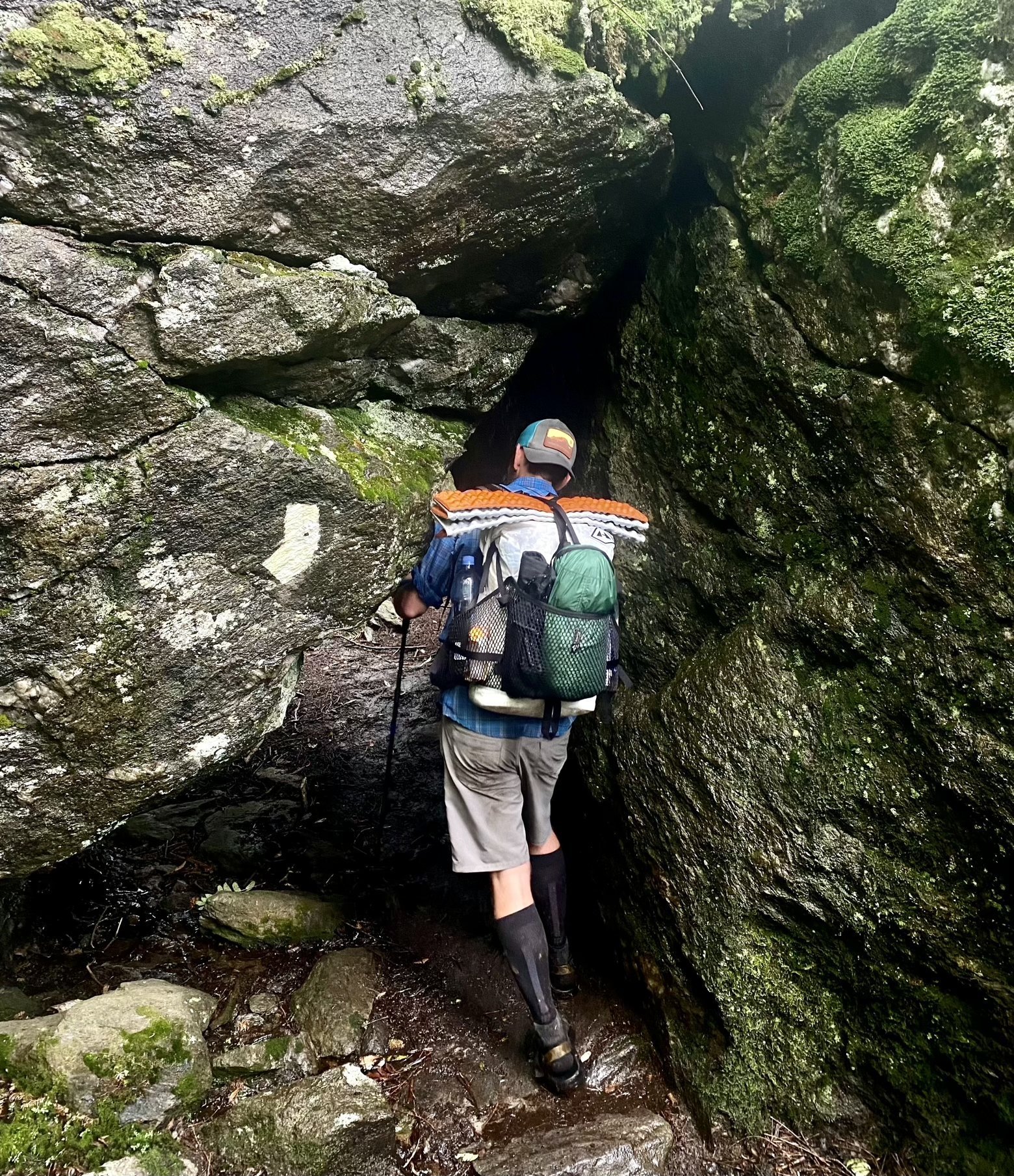

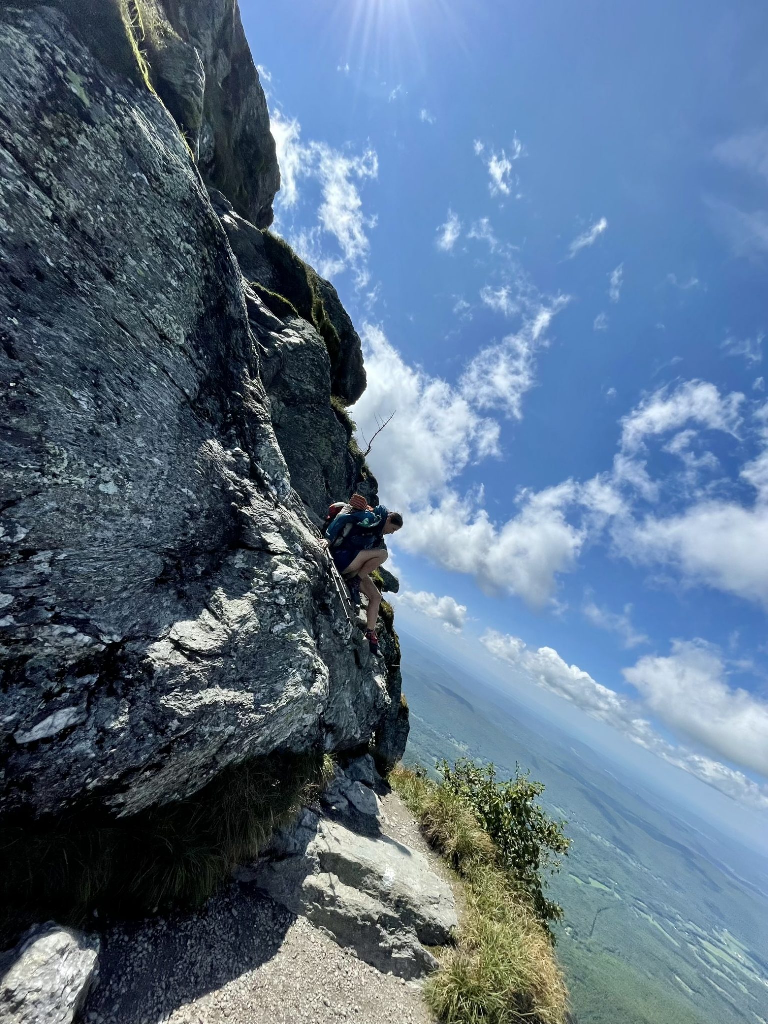
The problem was getting there, climbing up a trail that had now become a river and leading us to an exposed portion of boulders and bedrock that would ultimately deliver us to the Forehead and the mountain’s south summit. The only thing left to wonder was whether there’d be any view at all, and if the rain would stop for good and leave us something other than slick rock to scramble over.


Luck broke our way on both counts. Splashing through a trail-turned-stream, small pockets of blue sky above us conspired together to form yet larger patches and rays of sun cast shafts of light into a forest that had temporarily forgotten its touch.
Passing the 200-mile mark of the trail, we drew nearer to the ladders and exposed climbing up the Forehead, finding that the wind had hastened the transition of the rock from wet to dry just in time for us to scramble our way up.

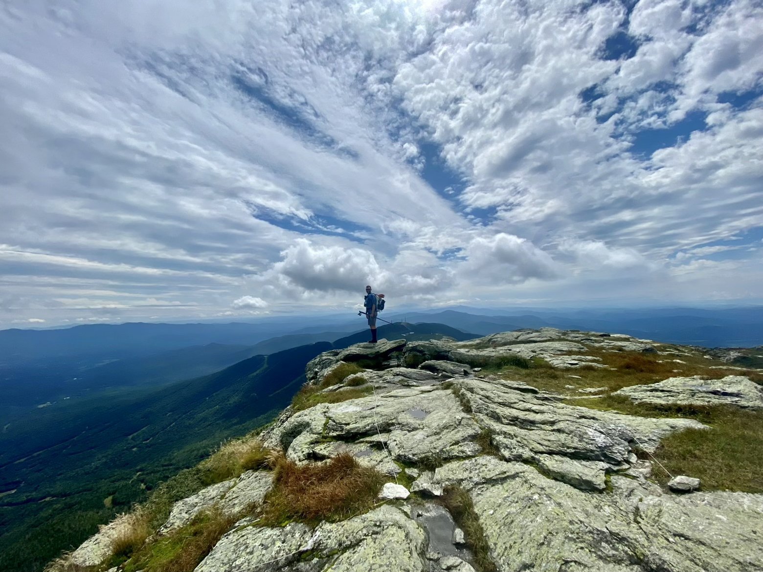
The stroll along the summit ridge of Mt. Mansfield—from Forehead to Chin—was as perfect as it could be coming on the heels of where the day had began. Views unfolded in every direction. To the north, our future obstacles on the trail, and to the south the obstacles past. To the east and west, the White Mountains and Adirondacks crowned the horizon.
The ridge itself is a biologically significant place because it harbors an alpine zone where tiny plants and grasses that thrive in such an inhospitable place cling to the rocks and the crevices between. Where else but here might you find such plants? Try the Arctic. That pretty well sums up what the climate is like up here.

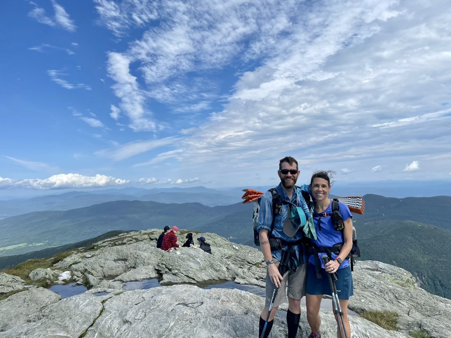
We weren’t the only ones enjoying the change in weather on a Saturday afternoon. Throngs of day hikers started to appear, either from climbing up the mountain themselves or driving up the toll road to within a mile and a half of the Chin that forms the summit. We whiled away a long lunch break chatting with a number of them and enjoying sunshine that, for the first time, didn’t mean we were also drenched with sweat.
Waving goodbye to the crowds, to the Chin, and to the Stowe ski resort that clings below its eastern flank, we began the dizzying plunge that would ultimately take us just shy of 3,000 feet down to a road that would merely signal the beginning of a climb up the other side.
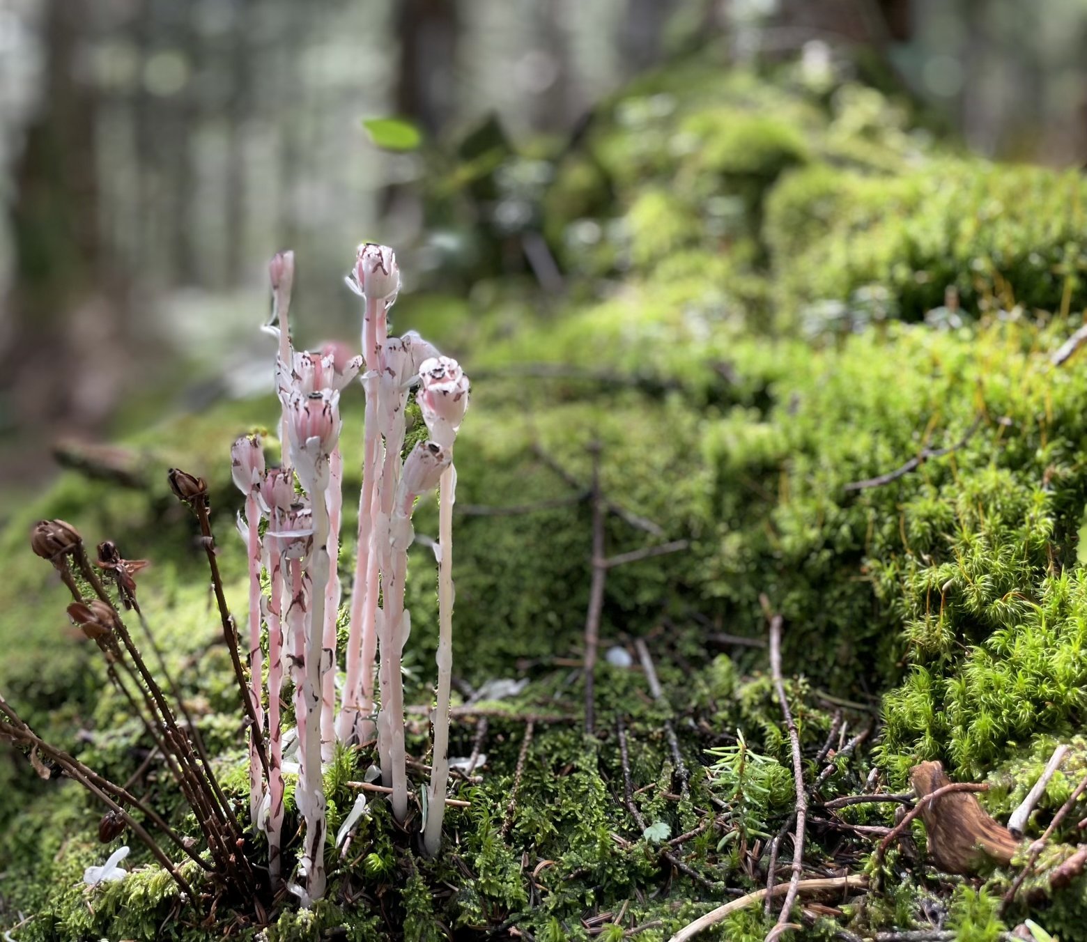
Courtesy of the recent rains, not only was the trail flowing with water, but stands of one of my favorite plants had forged their way up from the damp soil amid carpets of electric green moss. Ghost pipe, or Indian pipe, is a white, waxy plant that owes its pallor to the fact that it does not undergo photosynthesis and thus contains no chlorophyll. With a shy, often nodding head, it emerges in the shade beneath trees waiting to be noticed by a passerby. But one stand in particular that sported veins of pink had turned its collective face to the sky as if to bask in the sunshine, just as we had.

We savored reaching the road through Smuggler’s Notch for only a moment before setting about the work of climbing up the other side. Two hours more of ascending through the usual assortment of rocks, roots, and mud finally landed us onto the slopes of Smuggler’s Notch ski area and our grassy home for the night.
As the sun dips down over the face of Mt. Mansfield, the backlit silhouette behind us frames a beautiful end to a beautiful day. Shade pulls up across the mountain in front of us, and the air suddenly has a chill it had lacked making it all but certain I’ll be reaching for one piece of gear I’ve hardly wanted to touch: my sleeping bag.

Latitude/Longitude: 44.55764,-72.77413
