Date: 8/13/21
Miles: 18.3
Total Miles: 198.3
What comes down must go up.
The rain is deafening. Inside the spacious shelter of Taylor Lodge, nestled into the shadow of Mt. Mansfield, the sound is amplified by the metal roof making each drop sound like the beat of a snare drum. Lying in the dark, it’s hard to know whether my ears are being deceived by the acoustics or the downpour really is that heavy. Either way, it’s going to make tomorrow even more exciting. But that’s tomorrow—just getting here today was an adventure all its own.
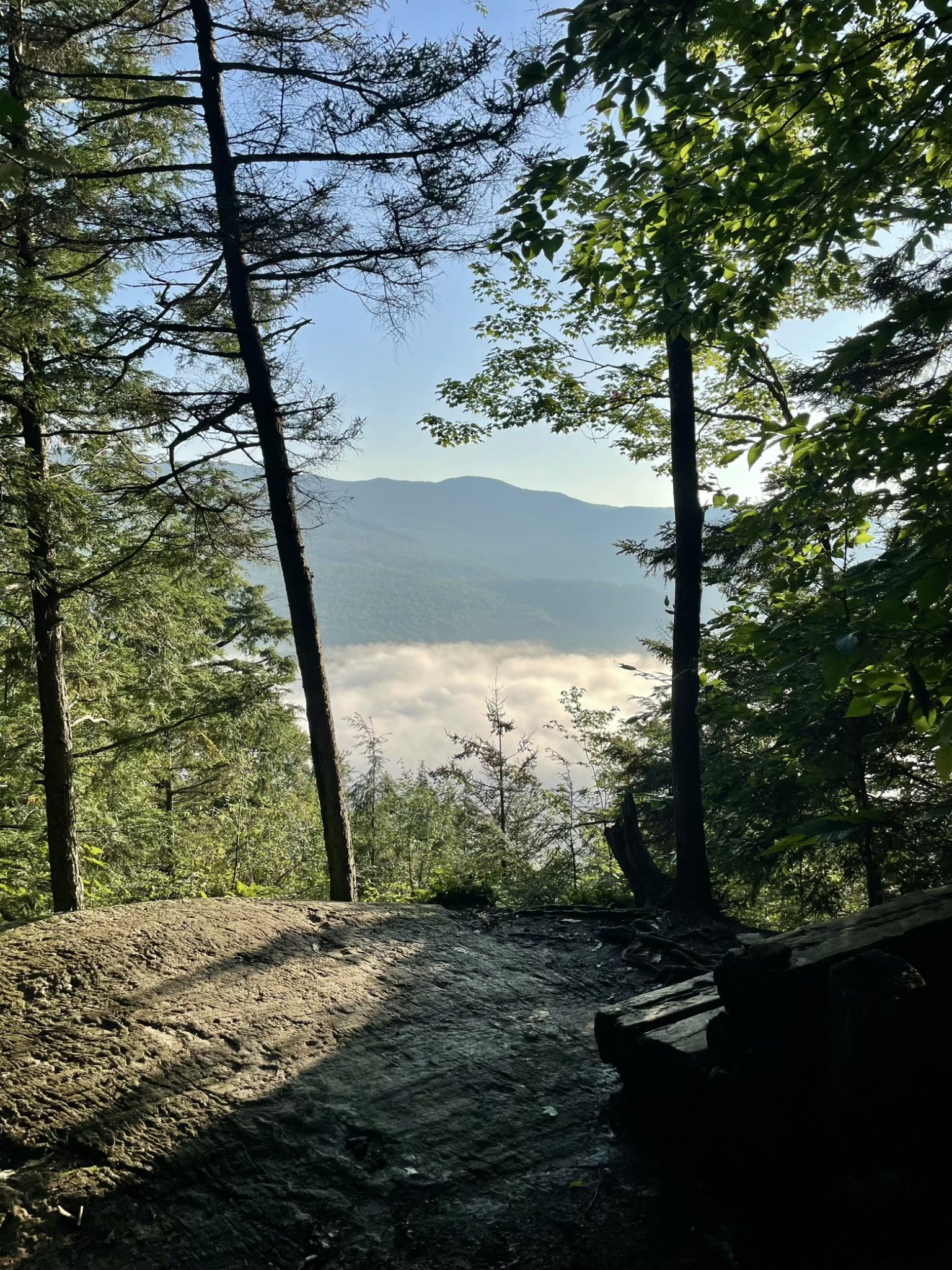
I hadn’t so much slept as I had alternated between sticking each side of my body to the air mattress beneath me, so unrelentingly warm and humid had last night been. Between that and the draining amount of climbing and descending yesterday, I shouldn’t have been surprised to find that my legs had lost their usual pep, but I looked askance at them just the same, as if they’d somehow deeply betrayed me.
There was just one problem with this, namely, that the reward (punishment?) for having descended from the summit of Camel’s Hump to the trail’s lowest elevation at the Winooski River was going to require a bit more from those legs than they appeared willing to give: 10 miles of climbing back up to nearly the same elevation. Call it the first law of hiking, a law that has proved itself true on many past hikes: what comes down must go up.
It all began innocently enough: a gentle completion of yesterday evening’s descent, a flat roadwalk, and even some meandering through the grassy perimeter of a large farm along the banks of the Winooski River. Even the grass seemed to be doing what it could to help us beat the heat by cooling our feet with the droplets of condensation it had collected overnight.

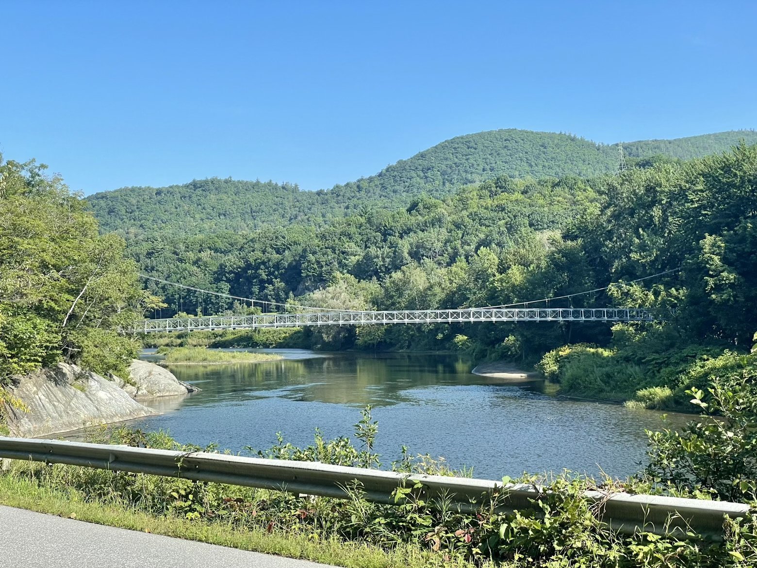
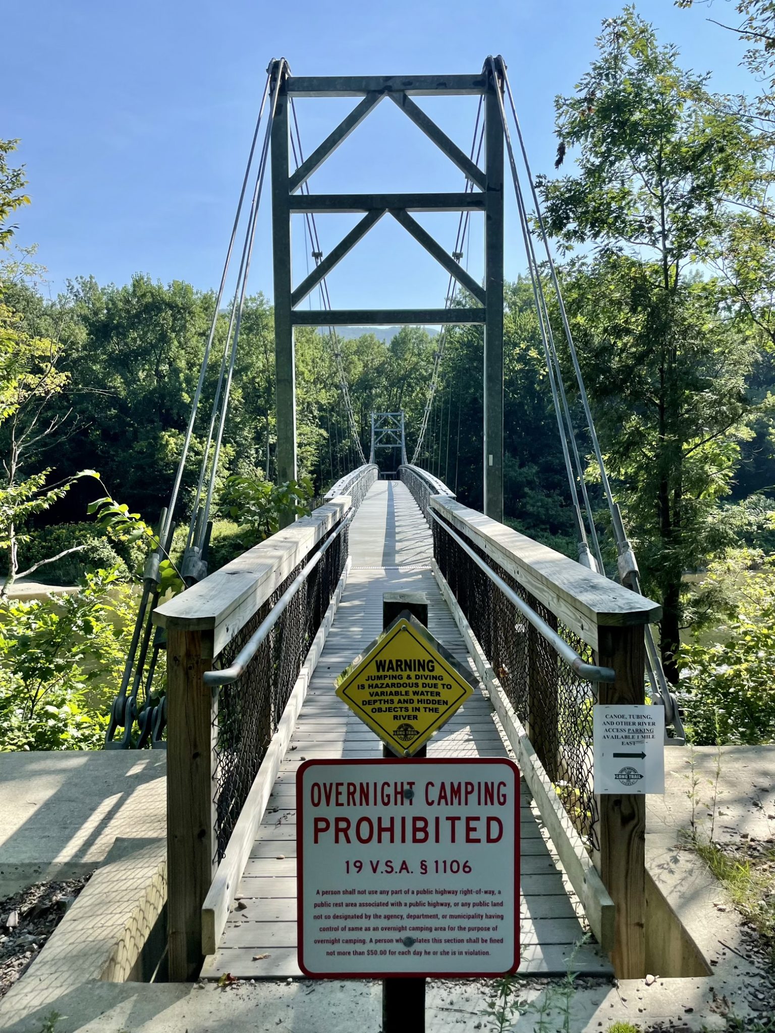
Turning right, we stepped onto trail that was new since I’d last hiked the trail in 2002, beginning with a fantastic pedestrian suspension bridge across the deep brown waters of the Winooski. A half a mile of flat walking later, there was no more delaying the inevitable. It was time to go up, with the omnipresent sauna of a New England summer there to keep us company every step of the way.
Here’s a question: when does a shirt cease to be a shirt and instead become a sweat rag? It was that kind of deep, probing question I had hours to mull over as we steadily made our way higher and higher away from the river. I’d even count the number of seconds between each successive droplet of sweat that would roll down my forehead and to the top of my nose before falling to the ground, just to see if there was any predictable pattern. Anything to distract myself from a body that seemed adamantly opposed to what I was asking of it. It was like Captain Kirk calling down to the engine room for more power only to have Scotty ignore the call entirely.
But I’d be lying if I’d said this had never happened before, and it’ll certainly happen again perhaps more so as I age. Finding zen helps—it’s the only way to make peace with where you are today and still will yourself to do what you didn’t imagine you could.
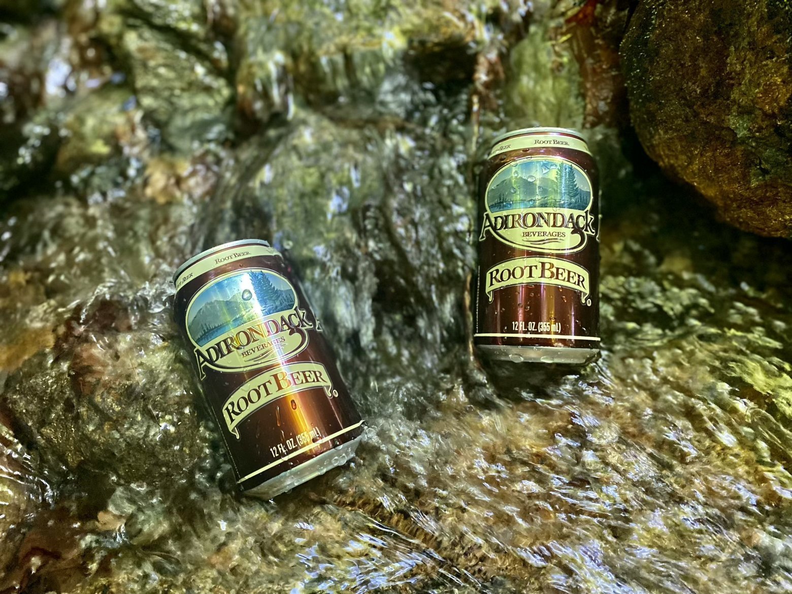
Serendipity also helps, like the entirely unexpected trail magic that we happened upon nowhere near a road or connecting trail. There next to a small flowing brook was a cooler with a note and cans of root beer inside. Without ice to keep them cool, the brook did the hard work for us, giving them a chill that I wished I could apply to my entire body.
When the ascent was blissfully at an end, the all-too-predictable plunge was waiting, at times dropping at 1,500 feet per mile down pitches that would have required climbing gear had it not been for a strategically placed wooden ladder. All we had going for us was the fact that most of the bedrock we were descending was largely dry.
Which brings us full circle back to the rain that pounds the metal roof a mere foot or two above my head. Dry? That left town an hour ago, ensuring our climb tomorrow up Mt. Mansfield to the roof of Vermont will be doubly interesting. Challenge accepted.
Latitude/Longitude: 44.48478,-72.82659
