Date: 8/14/04
Starting Location: West Branch Pleasant River
Destination: East Branch Lean-to
Miles: 16.3
Total Miles: 2115.1

True story: It is now November of 2017, a mere 13+ years since I wrote the previous post from my AT thru-hike in 2004. I may have broken a record for the longest cliffhanger on how this adventure came to its end! The remaining posts for the final 6 days of my hike have lingered in my mind for all of those years, and I’ve often wondered why it’s taken me this long to actually write them, after having diligently written at least a brief post for nearly every day on the trail. This hike has always held a place of fondness in my heart and been difficult to let go—perhaps, in some sense, leaving these final days unwritten has allowed me not to. What follows in these posts is my best recollection of the end of a hike that continues to live vividly in my mind. When I left off, the West Branch of the Pleasant River had swollen 100 yards beyond its banks and an uncertainty hung in the air...
When Gerry drove me back to the river deep in the 100-mile wilderness this morning, I had no idea what I would find, fully expecting that I might be pitching my tent to wait out the river until it had dropped enough to be crossable. While in town, I’d had the chance to contact my Mom & Dad and let them know that our plan to meet at Baxter State Park on the last day of the hike was still on, though knowing that plan hung by a very fine thread.
Fortunately, the rains had tapered a bit overnight and as we drove down the long dirt road I could only hope that the last few hours without rain had been enough to lower the river. Still swollen well beyond its banks, there was a small glimmer of hope when I waded into the river and found that it had dropped a critical few inches at the point in the channel where I had beaten my retreat less than 24 hours earlier. After a few tense moments in the deepest part of the river which still rose to the bottom of my ribs, I could feel the ground begin to rise beneath my feet and I was soon safely on the opposite bank with wet, shaking legs.
I gave one joyous wave back to Gerry before turning and heading north along the trail once more. The hours since being rebuffed by the river yesterday afternoon had been ones of emotional turmoil. What had seemed like a perfect ending to the trail, hiking with my trail friends over the final week and ultimately celebrating together on Mt. Katahdin had so suddenly been tossed into the air. The uncertainty had been painful, the nerves palpable, all yielding a night of little sleep. But here I was, across the river’s divide with only trail between me and the kindred spirits I’d fallen behind. Off I went, with a renewed lease on the end of this adventure.
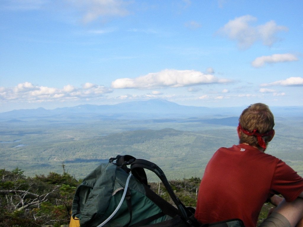
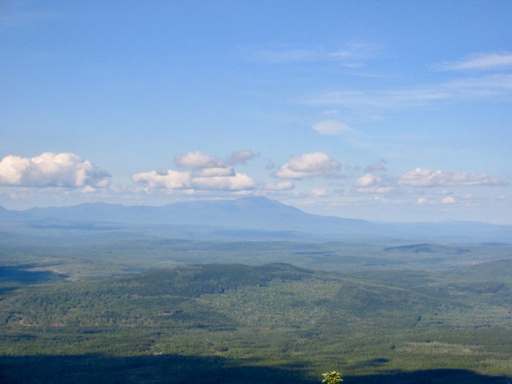
The poor weather I had expected to continue had also had a change of heart, and as I climbed up, the clouds continued to drift into the distance in favor of bluer skies. The meteorological choreography couldn’t have been better. By the time I reached the summit of White Cap Mt., the skies had cleared enough for an unobstructed view of Mt. Katahdin—my very first glimpse of the northern terminus of the trail known as the "Big K." After the drama of the last day, it felt as though all of my luck had turned for the better.

