Date: 10/19/20
Miles: 19.3
Total Miles: 2089.0
I am one with the pavement. In an effort to be zen that's what I tell myself. Lacquered in tar, the rocks of the asphalt seem larger than I'd expect, maybe a half inch in diameter or more. Shoulder-less, we walk the edge and wave at the oncoming traffic that, without exception, moves into the other lane to give us as much room as possible. Not the hiking you typically expect on a National Scenic Trail, but here we are just the same.
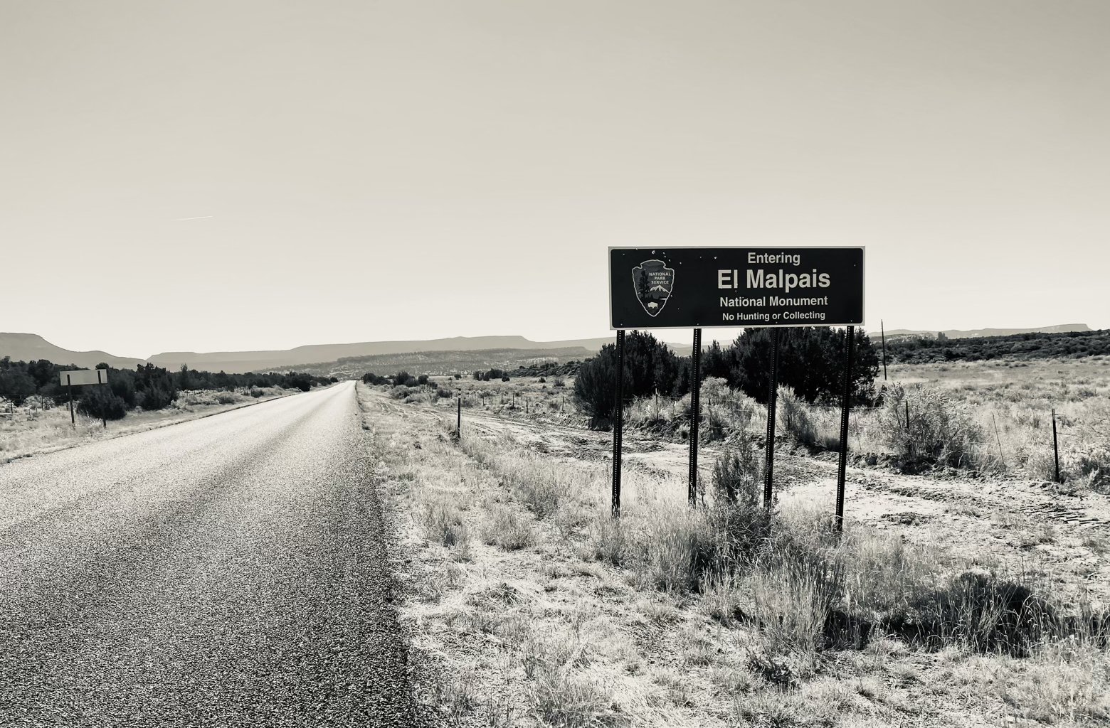
Much of the walk from Grants to our next stop in Pie Town is along a road of some sort, but fortunately the scenery is interesting enough to lure us away from too much focus on each step making contact with the pavement. Stretching out immediately to our right, the El Malpais National Monument encompasses much of what we can see. El Malpais—literally “the badlands”, in Spanish—is a massive site of more than 100,000 acres, the majority of which is a forbidding and desolate field of lava rock bookended to the west by a succession of cinder cones.
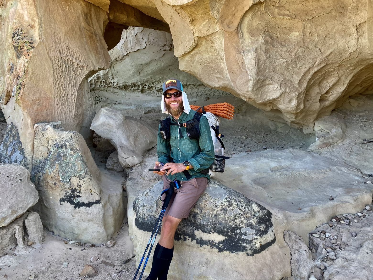
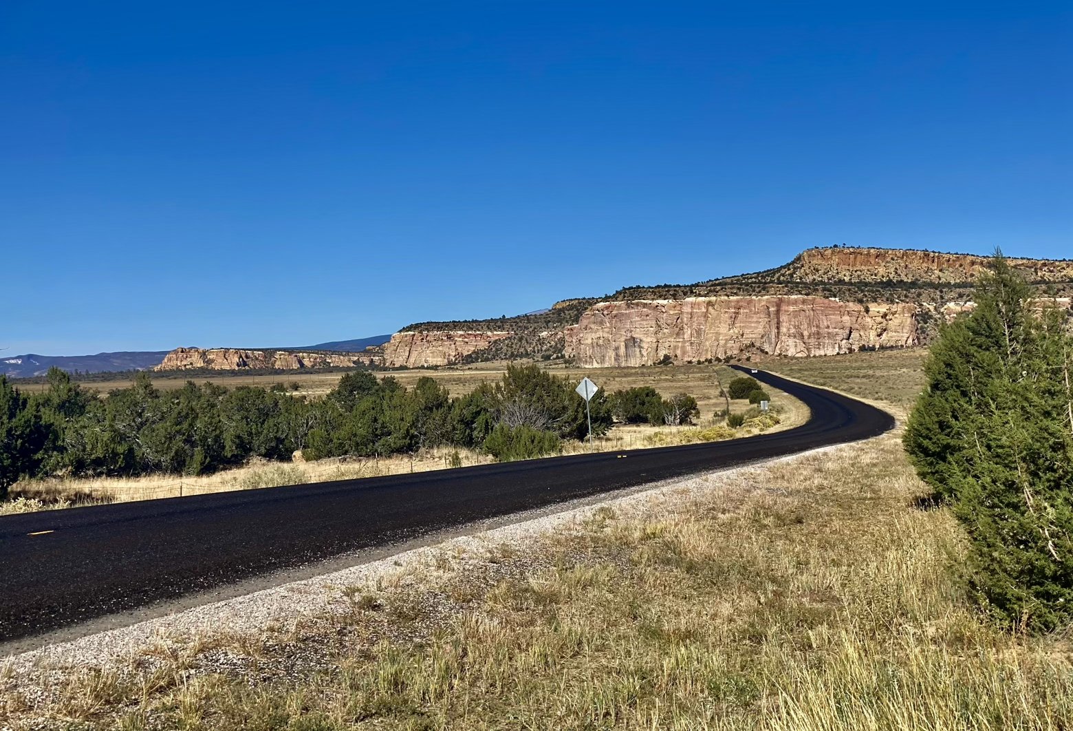
Before we could catch a better glimpse of those badlands from an elevated perch, we'd have to walk along the highway for at least 15 waterless miles. Along the way, a car pulled over to chat with us. Behind the wheel, local trail angel Hugo Mumm had just come from restocking a water cache that he and his wife Carole have maintained for years. Only a few miles ahead, it would be our oasis. Thanks to the kindness of trail angels like the Mumms, long, hot road walks like this get just a bit less painful.
After filling up at the cache and wedging ourselves under the shade of a small tree for a lunch break, down the road we went to our next stop: La Ventana Arch. Like a misplaced part of Arches National Park, the arch itself is nestled into the bluff of a mesa that runs along the east side of the Malpais lava fields. With not only a picnic table, but a roof to provide some shade, it was also dinner spot too good to pass up.
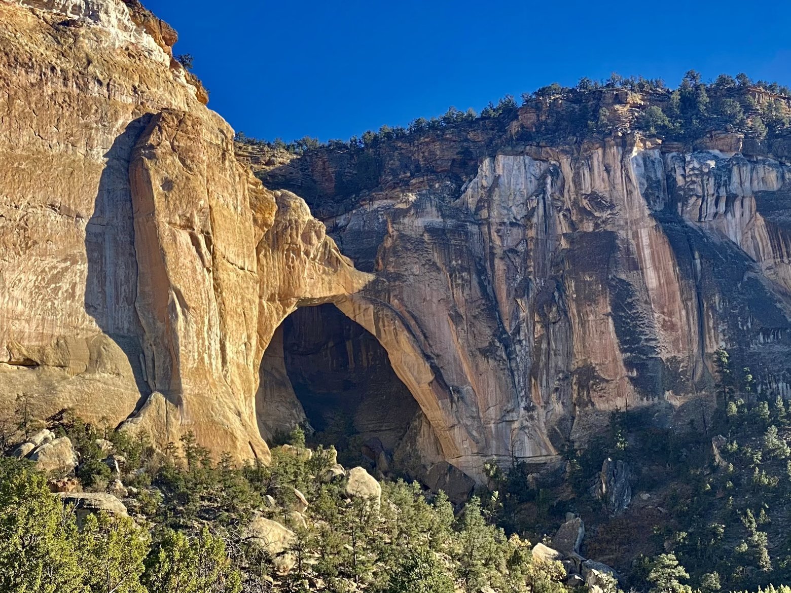
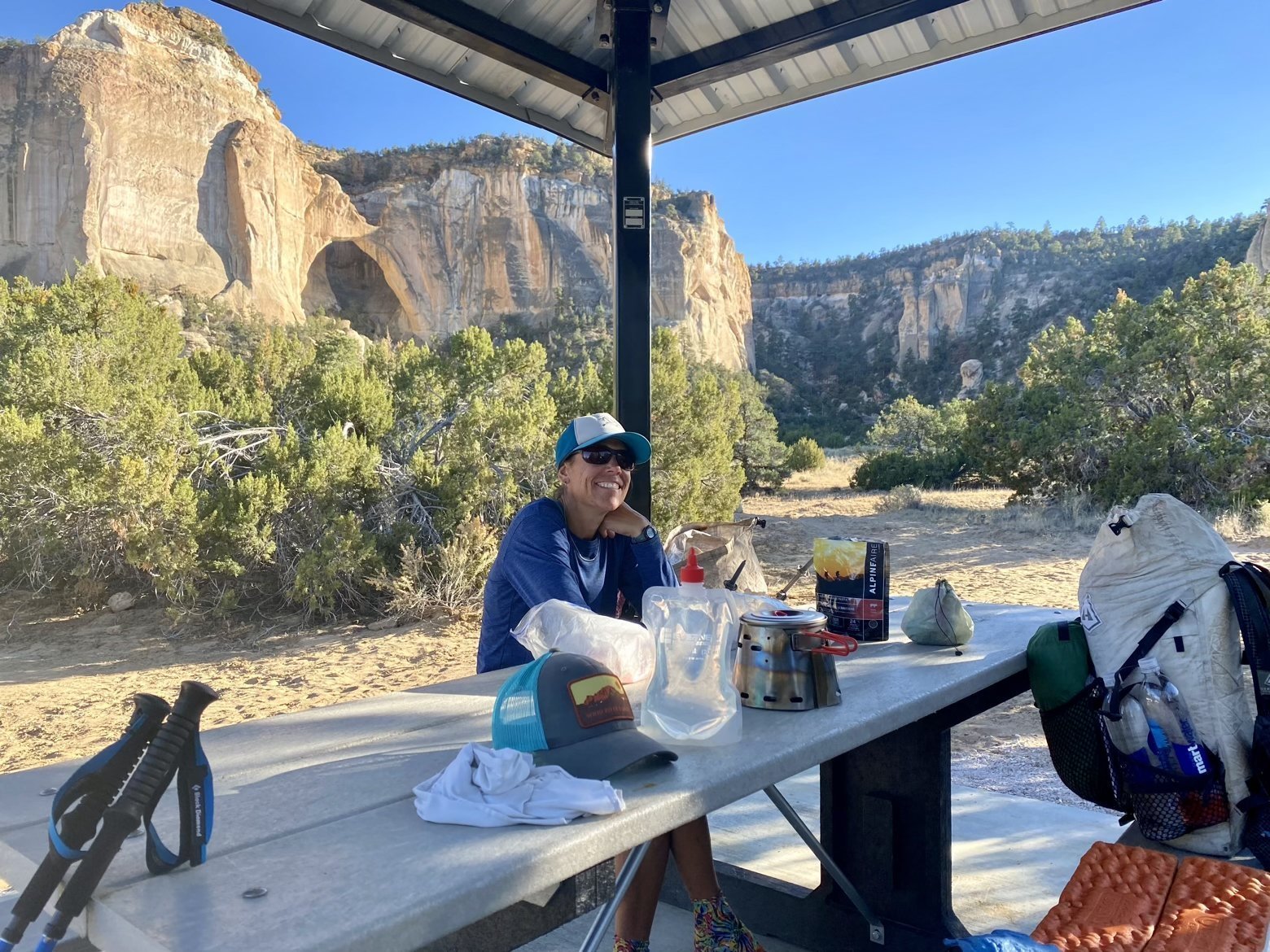
Any break from a road walk is a good break, so after finishing up dinner we decided to wave goodbye to the road and instead climb up past the arch and onto the top of the mesa. After a brief bit of x-country hiking and cactus dodging, we'd hopefully connect with a trail along the rim of the mesa that roughly paralleled the highway below.
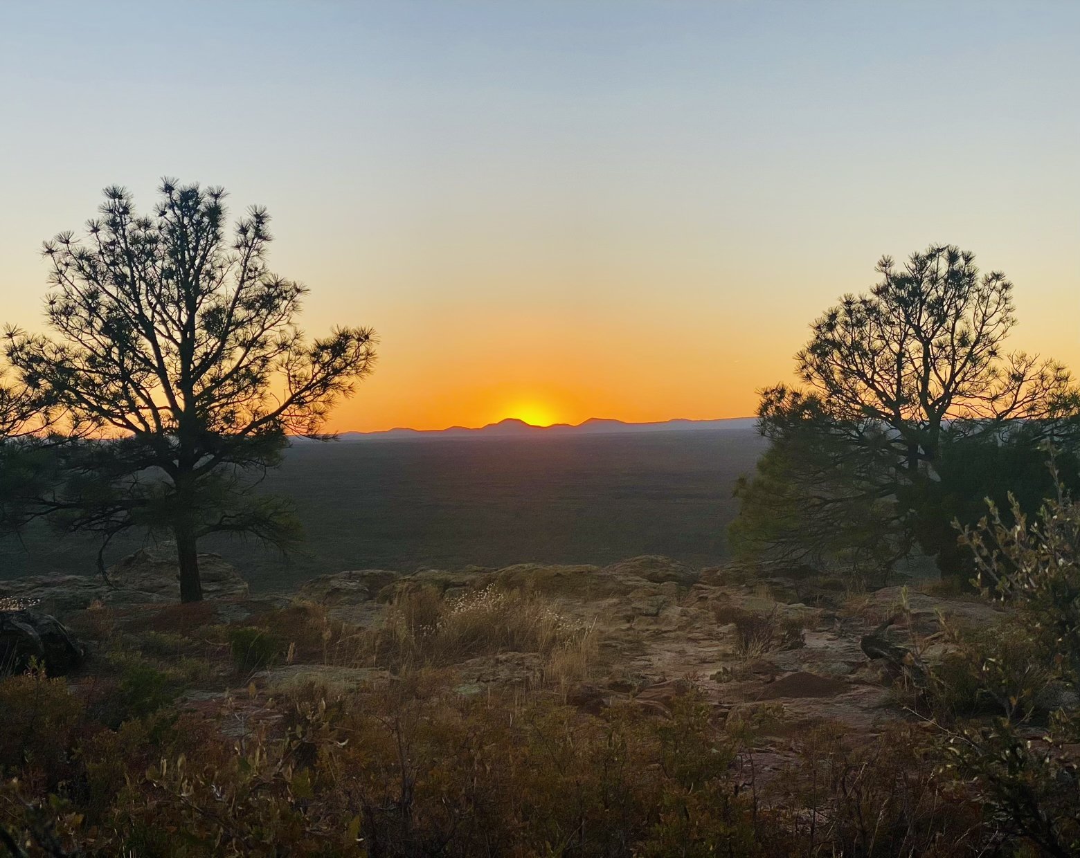
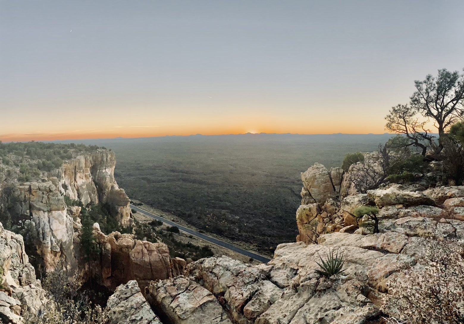
Arriving at the edge of the mesa minutes before sunset, we watched as the sun backlit the cinder cones across the valley and shed soft gray lighting across the entire Malpais. Spanning everything we could see between the mesa beneath our feet and the distant setting sun, the barren sea of lava rocks made it plain why these badlands were on the short list of sites considered by the Manhattan Project for the first ever test of the atomic bomb. Had history taken a different turn, the orange sun dipping below the horizon may not have been the only thing glowing with radiation. What a truly bad land it might have been.
Latitude/Longitude: 34.86443,-107.90455
