Date: 7/7/22
Miles: 15.9
Total Miles: 48.3
From our perch on a hidden bench above the trail, the same soundtrack that had lulled us to sleep was now the first to greet us. There’s something a little comforting about it. That while you’ve been asleep, the gears of nature have kept turning, almost completely unchanged. That everything is, by all appearances, exactly the way you’d left it the day before.
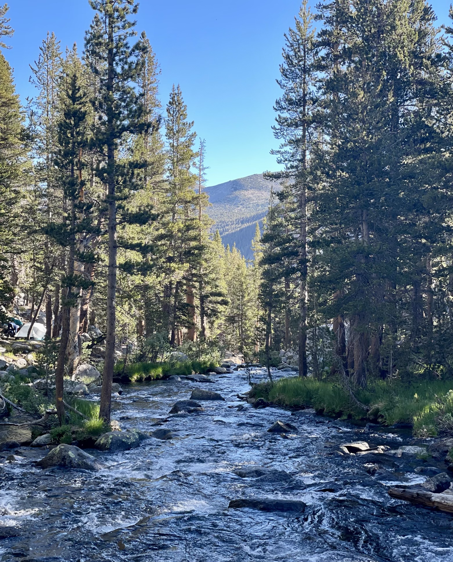
The John Muir Trail is filled with memory. It’s easy to lose myself in it. Around every bend is something familiar either from our hike of the trail in 2015, or my hike of the Pacific Crest Trail a year later, which shares 160 miles of tread with the JMT.
But as tempting as it is to relive old memories, it also feels like a trap that prevents creating new memories and living in the present. Call it one of the many pitfalls of nostalgia.
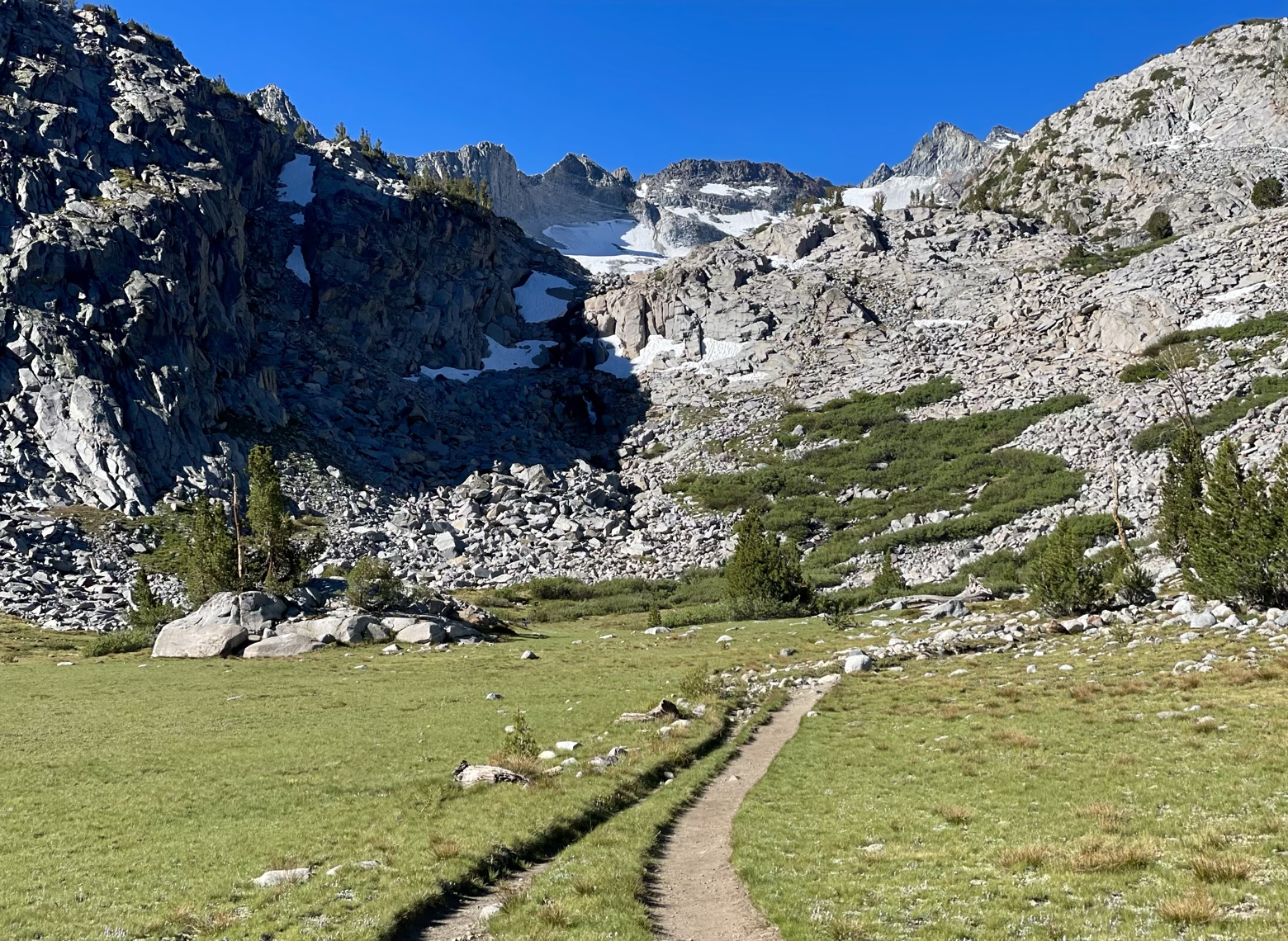
And so we set off from our idyllic home among the lodgepole pines, doing our best to climb towards the first of the JMT’s 8 major passes as if it was our very first time. Fortunately, the scenery has a way of jarring you into the moment because there’s scarcely a memory that can do it justice.
Following Lyell Fork toward its headwaters along a winding stream, flanked by narrow strips of bright green grasses and wildflowers, we looked up to see Mount Lyell looming high above. At 13,100 feet, it’s the highest point within Yosemite National Park, and whose glaciers feed the very stream that had led us here.
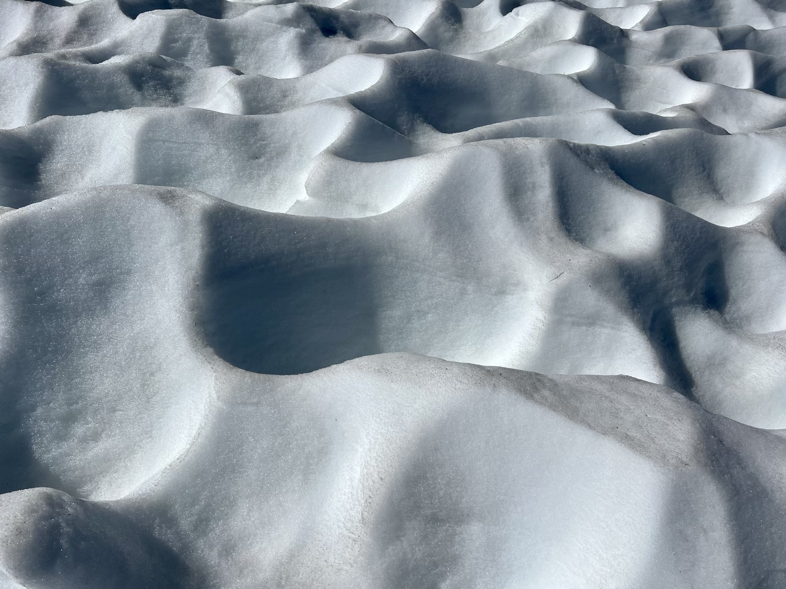
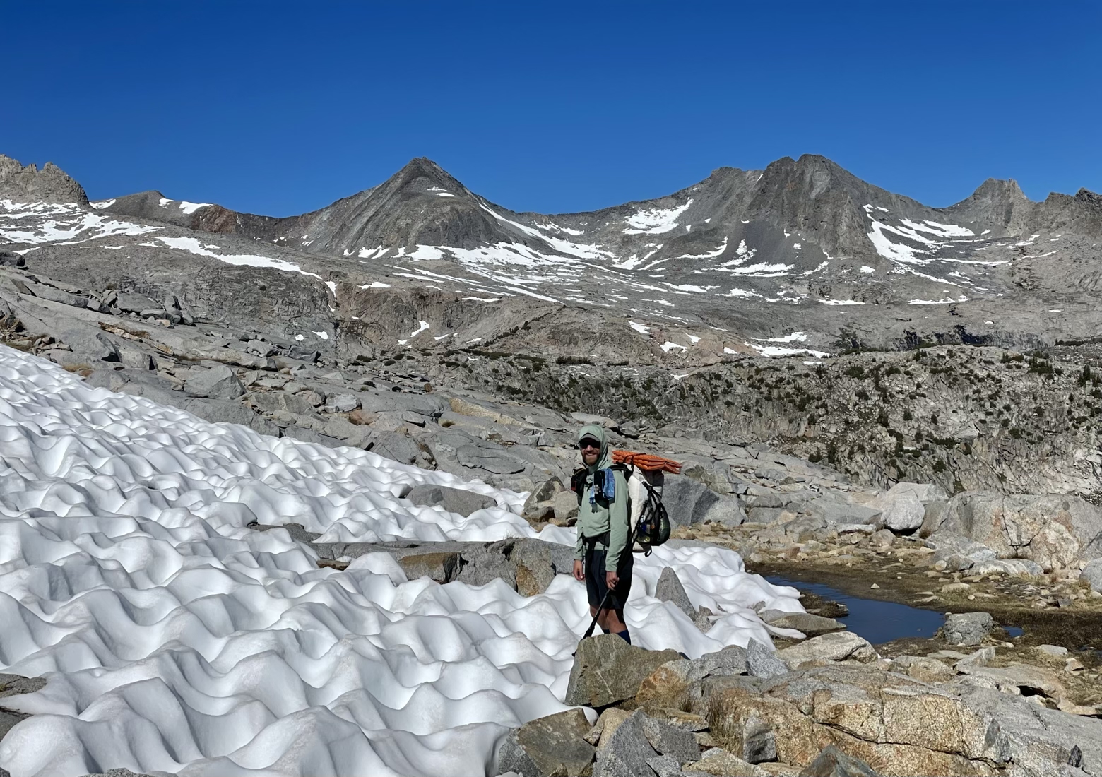
Higher still, the trees and shrubs yielded to a land of nothing but stone, interrupted only by small patches of snow, deeply sun-cupped into piles that looked like a hardened meringue.
When we finally crested 11,000 feet, we’d reached Donohue Pass, stepping beyond the boundary of Yosemite National Park for the first time, and unlocking a view into the distant higher Sierra still to come.
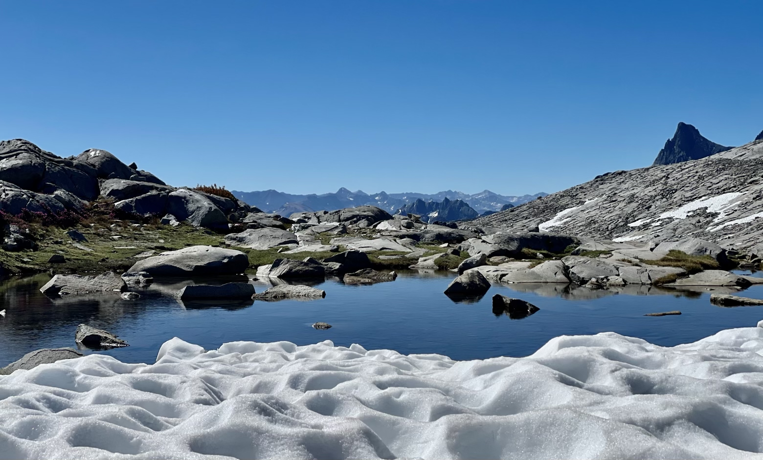
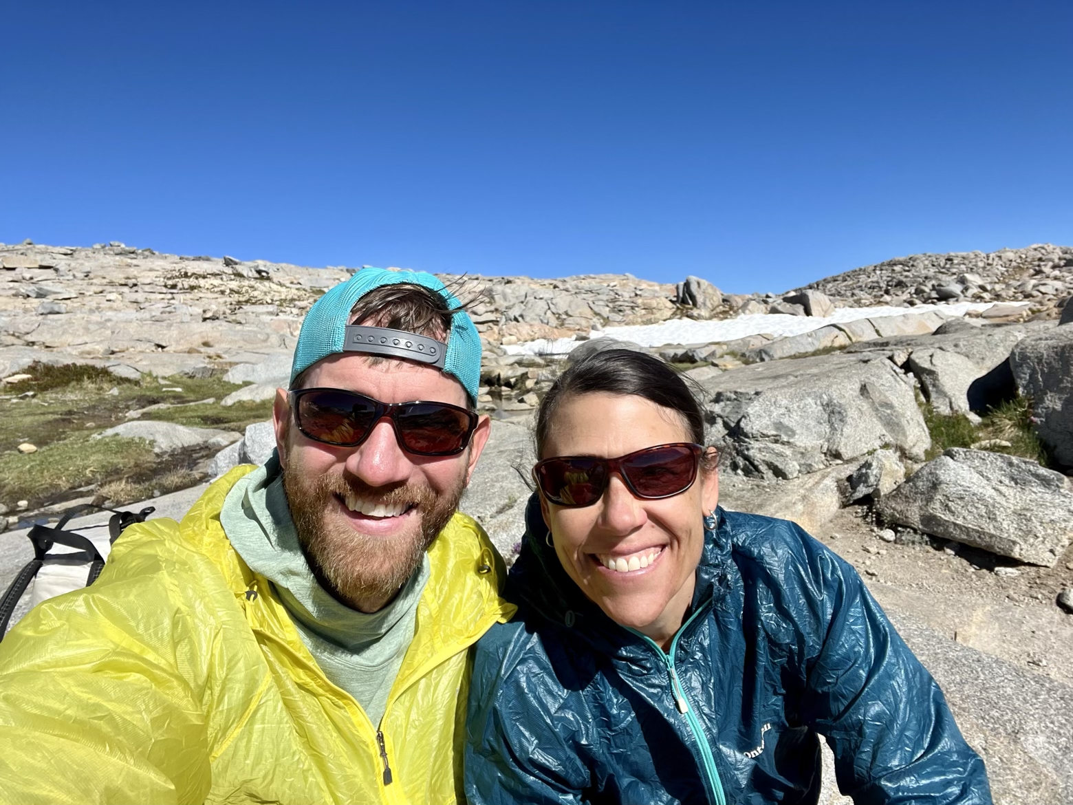
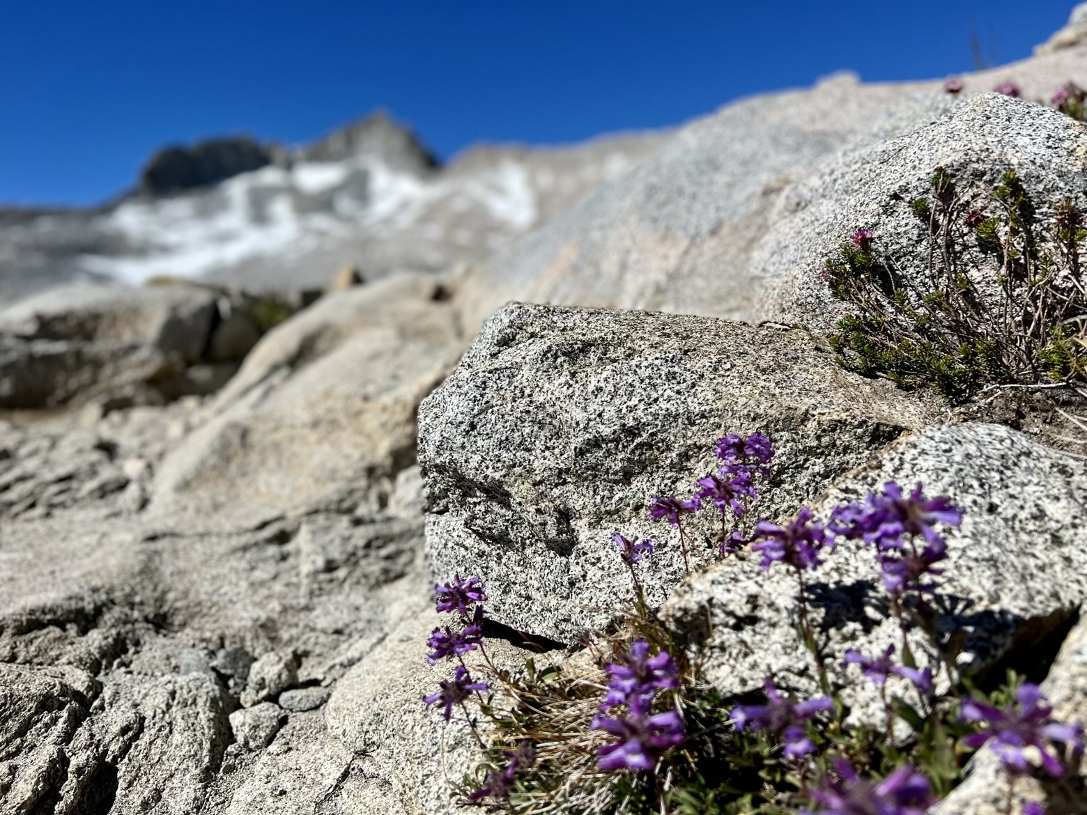
Having done the hardest work of the day right out of the gate, we spent the rest of the morning and afternoon following the JMT through a wonderland of meadows, rock, wildflowers, and meandering streams. Penstemon, mountainheath, lupine, and paintbrush, all sprinkled color on a landscape that hardly needed any embellishments to make it more beautiful.
Traveling the opposite direction, a steady stream of Pacific Crest Trail thru-hikers ticked by. One after another, nearly every few minutes, for several hours. Like a single file pilgrimage from Mexico to Canada. That, or the world’s most elongated conga line.
Seeing them all flow past, it was impossible to resist the urge not to step back into my memories of being in their shoes. Every so often, I’d point out a place where I’d slept or taken a break, only to then put those memories back on the shelf where they rightly belong.
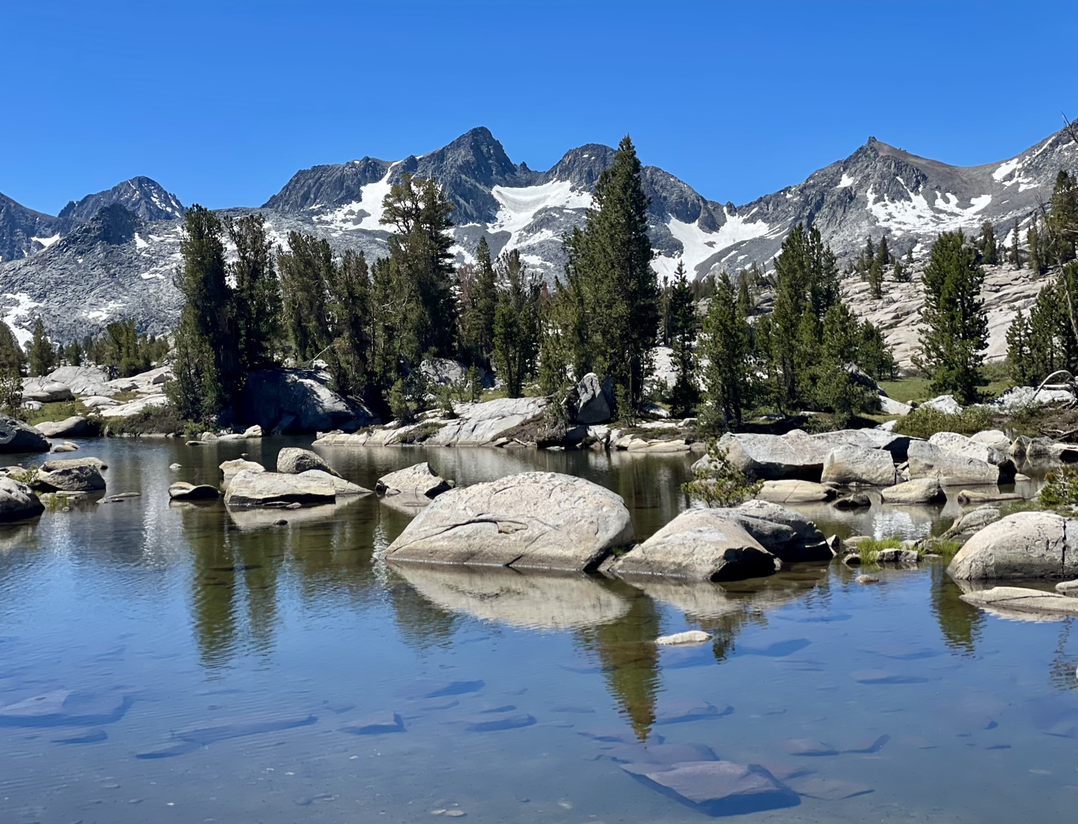
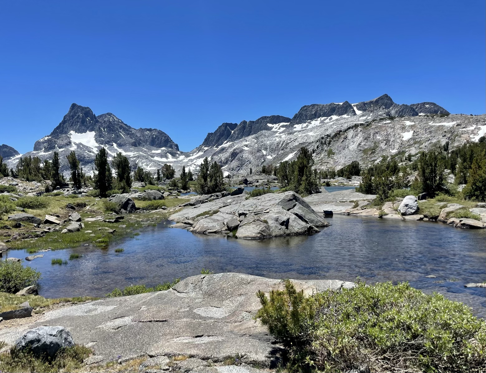
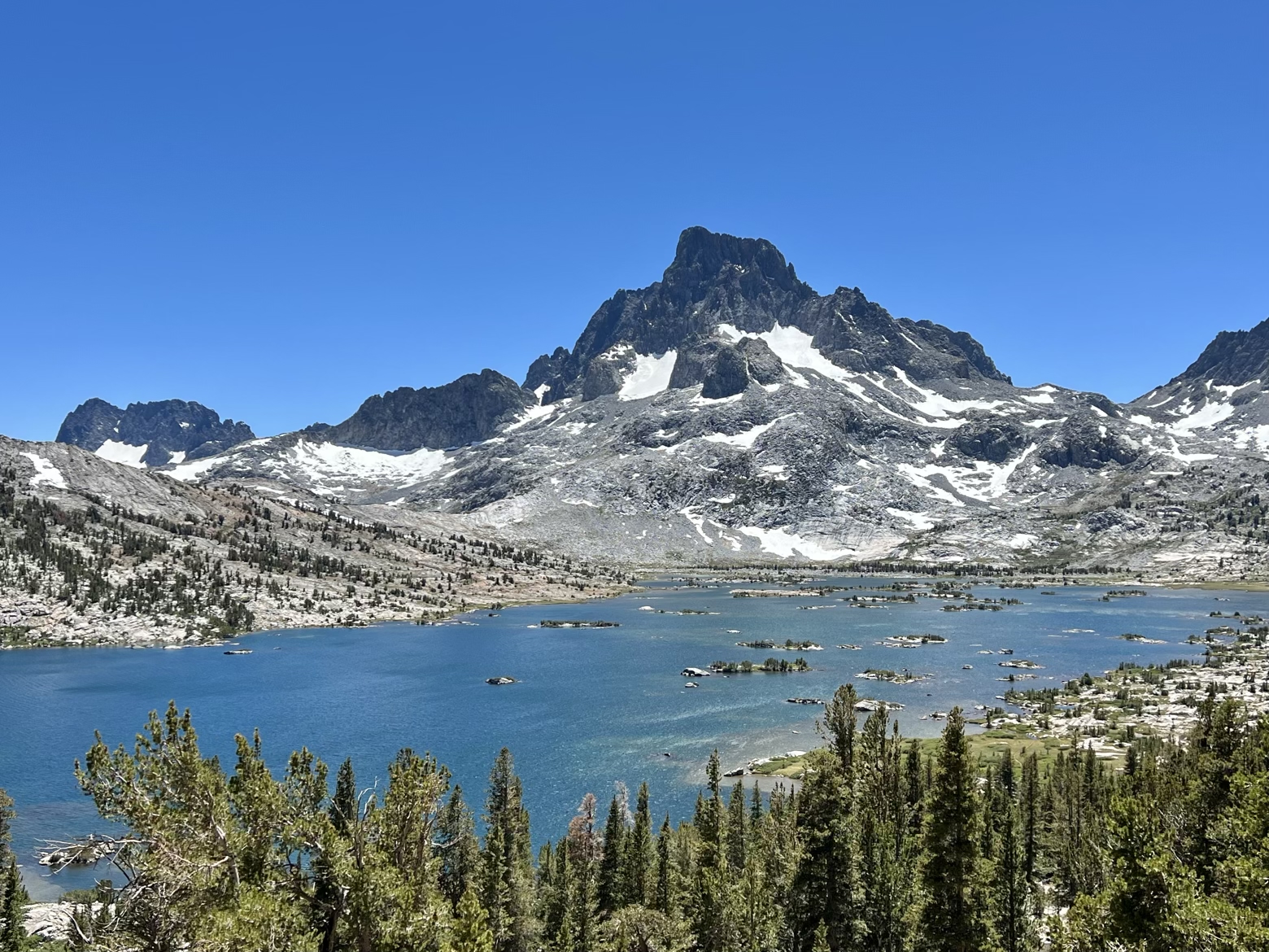
Though the first major pass had come and gone, the views most certainly had not. Climbing once more to Island Pass, spines of dark, shadowy granite framed the horizon. Like a movie backdrop for the string of gemstone lakes scattered at its feet, Banner Peak stands sentinel over it all. No wonder it felt like a banner day.
Latitude/Longitude: 37.69105,-119.14398
