Date: 7/19/22
Miles: 16.0
Total Miles: 245.5
The buzzing on my wrist comes as no surprise. In those brief moments drifting in limbo between asleep and awake, I struggle to register what exactly it is floating above my head. Beyond the soft armor of mosquito mesh surrounding me, and through the tarp stretched taut above, an amorphous shape of white bends into unrecognizable shapes and patterns, like sunlight seen from beneath the surface of water.
A few blinks come and go, and then a few more. I close my eyes and contort into a sequence of positions in the hammock, buying time for my brain to process what my eyes struggle to understand. The fabric of the hammock body is close now, resting gently against my nose and tickling my forehead. My wrist buzzes again, just long enough for me to snooze it and glance at its face before burying it back within my cocoon of down. 4:40am.
I open one eye to gather more intel about the scene hanging over my head. Shadows crawl across the translucent weave of the Dyneema tarp like a movie projected onto a thin cotton sheet stretched across a clothesline at a makeshift backyard movie theatre. Moonlight filtering through the needles and spindly branches of scraggly pines never looked so whimsical, so sublime.
When I finally pulled myself upright and threw my legs over the threshold of the hammock and into the world outside, I reached up to touch the moonlight spilling through the tarp a foot above my head. Like everything else—I came to realize—it was covered in a slick veneer of moisture, as though while we’d slept, every piece of gear we owned had seen fit to exercise the night away. The insidious dampness was both foreign and suddenly inescapable, a parting gift from yesterday’s angsty weather in an otherwise arid Sierra.
Damp or not, our little shelters collapsed under headlamp, retiring to their daytime homes within our backpacks just before the earliest rays of dawn began to stretch across the patch of trees we’d briefly called home. The watery moonlight began to dissolve, its trick of the eye evaporating as the darkest black hues of night bled into the deep gray of a Scottish winter. The kaleidoscope of daybreak had begun.
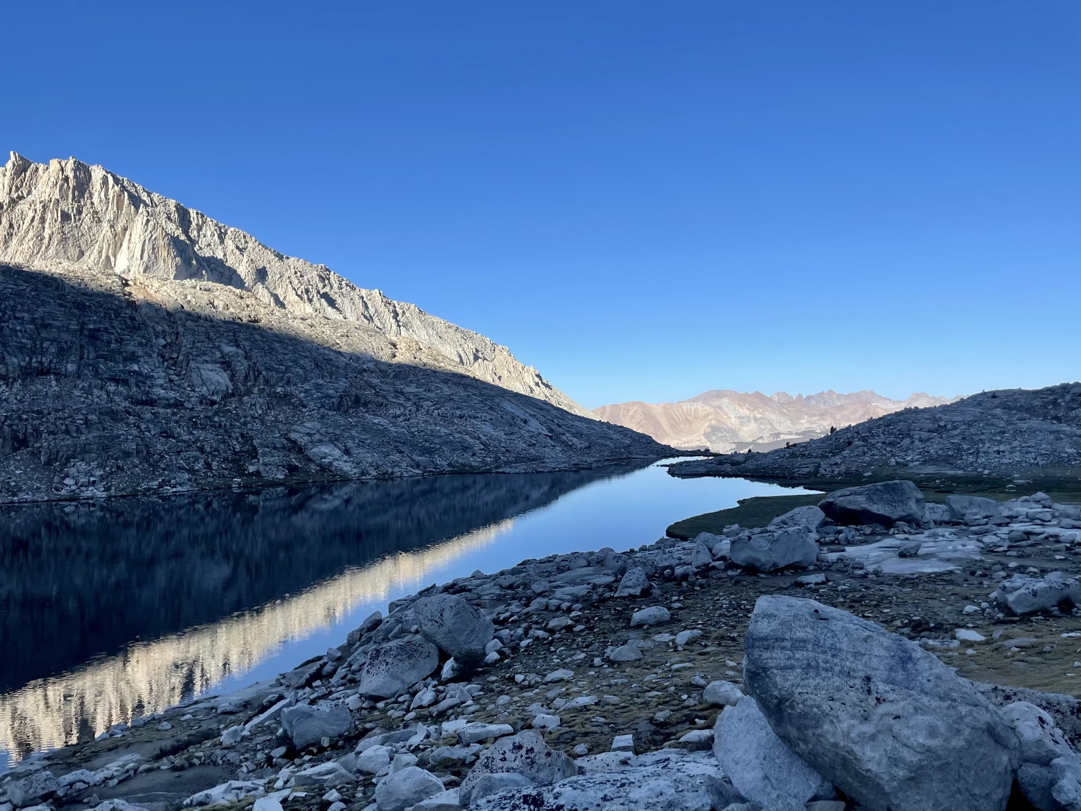
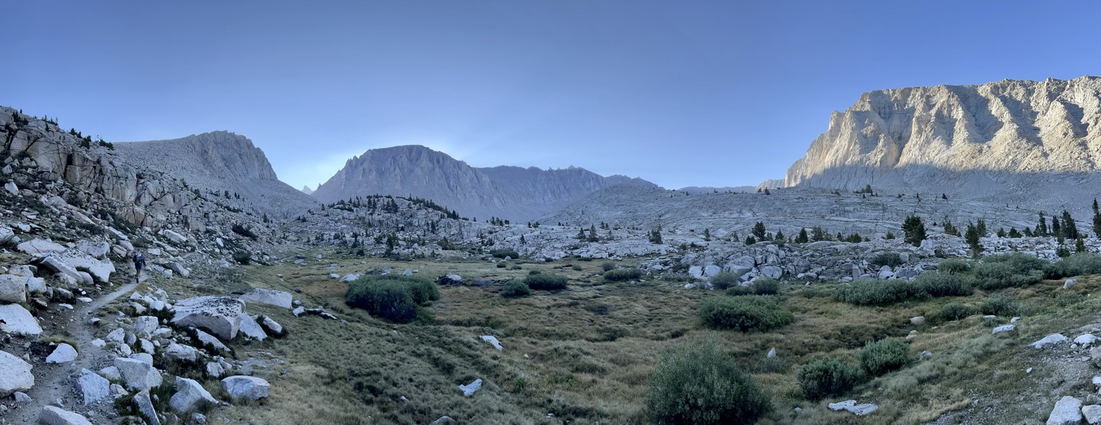
Shouldering our packs one last morning, the trail was eerily silent as each minute brought a new, brighter shade of gray to the sky before the first hint of blue began to appear. Long mountain shadows stretched across the mirrored surface of Guitar Lake before curling back up like a bedroll of the sun. Due east, rising just less than 4,000 feet above our heads, the summit of Mount Whitney and the southern terminus of the John Muir Trail left no doubt who was casting the retreating shadows.
While the bravest early rays of sun struggled up and over this highest point in the continental U.S., it felt briefly so near and so far. On the one hand, it was right there staring down at us. On the other, the halo of light surrounding its summit looked like a crown adorning a peak whose uppermost reaches must surely be scraping the sky, too high for mere mortals to scramble up to.
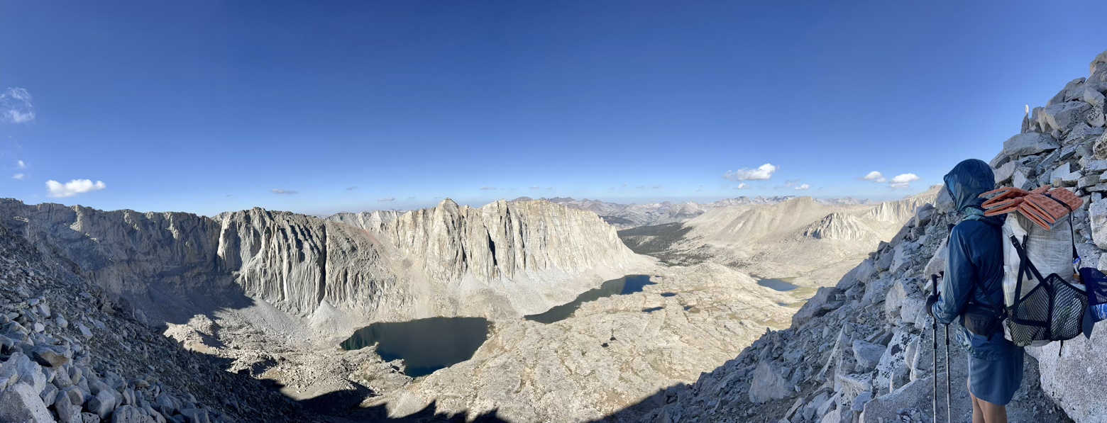
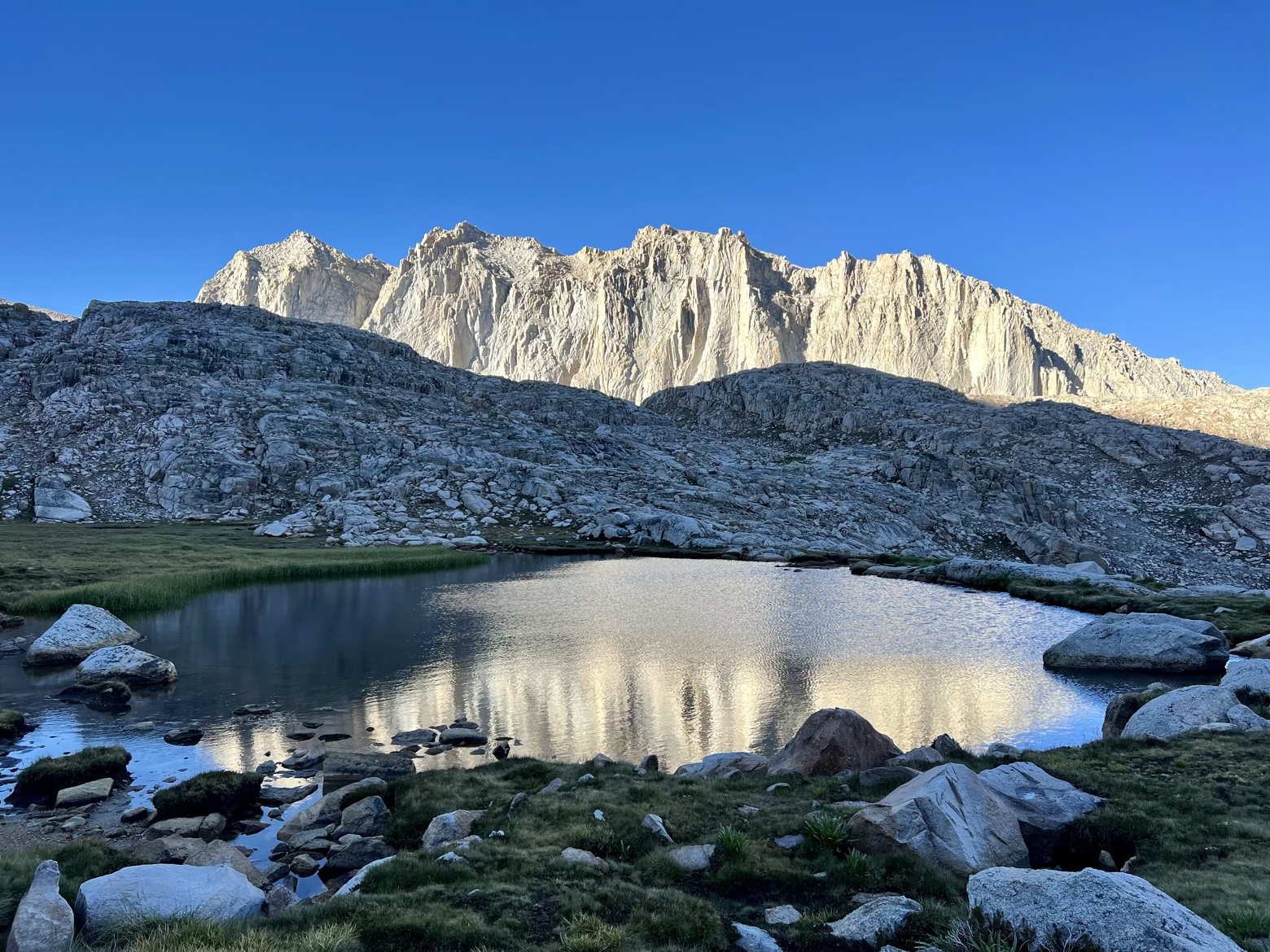
Of course, we had one not insignificant advantage in this mental game—we’d actually been there before. Waving hello to our campsite from 7 years earlier, beside a small tarn tucked into an otherwise barren, rocky amphitheater, we passed but one solitary hiker on a now familiar set of switchbacks, climbing closer to the margin between shade and sun.
The early dawn shades of gray were now but a memory, as were the ominous clouds of yesterday. Only the trademark Sierra blue, its hue deepening the higher we climbed, was there to cap the otherworldly land of granite chunks we could now look down upon.
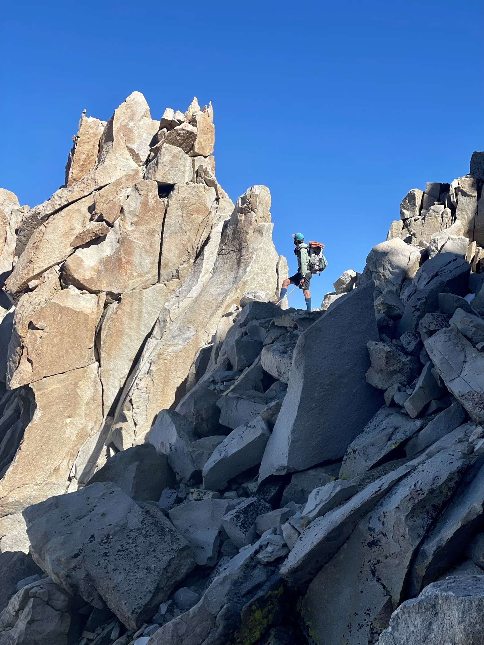
For a mountain as tall as it is, the upper reaches of Mount Whitney are a study in contrasts. Sitting amid a cluster of peaks that seem to challenge its lofty reach into the sky, it’s difficult from afar even to discern which peak it is. Mount Rainier towering above its neighbors, it most certainly is not.
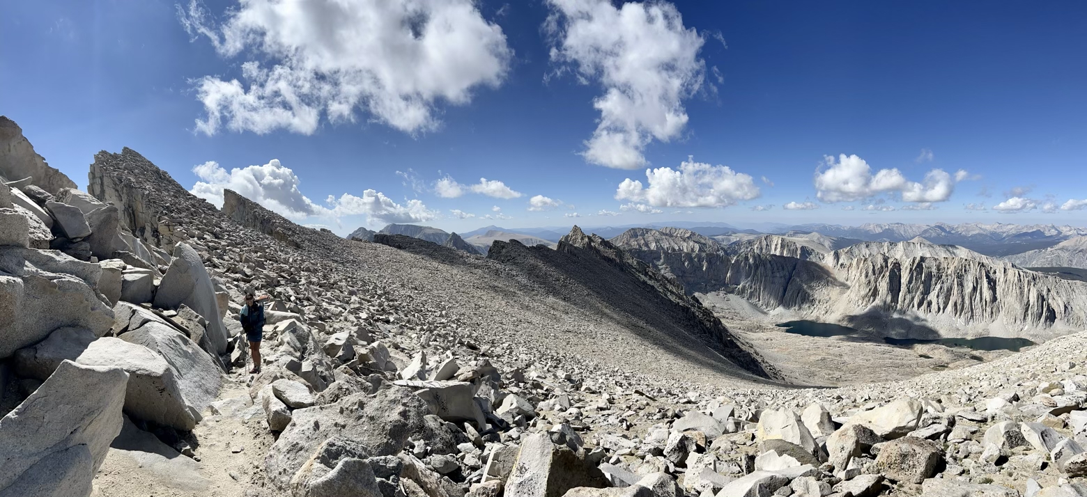
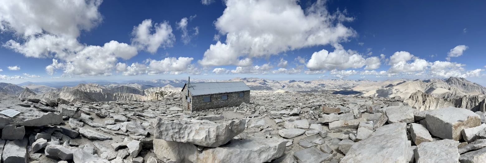
On its vast western slope, chunks of granite lie in jumbled piles, as if the mountain slowly sheds them like dead skin. Dividing that massive graveyard of granite from a precipitous drop down its sheer east face, a series of “Needles” stretches south from the summit like the spine of a massive stegosaurus. Even the summit itself isn’t what you expect. The sharp, conical apex of mountain imagination is nowhere to be found. In its place, an unexpectedly broad and expansive plateau spills out like a giant landing pad for clouds to rest upon.
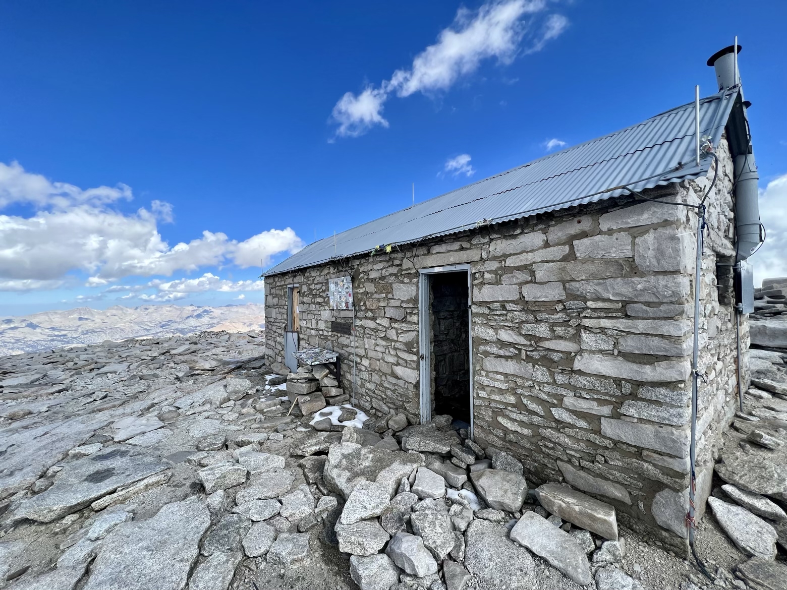
Capping it off is perhaps the most unexpected piece of all: an emergency stone shelter, more than a century old, with a space hardly large enough to hold an intimate cocktail party of 10 people. Underscoring the irony of this “emergency” shelter is the reality that the most likely emergency a hiker or climber might be taking refuge from here is a thunderstorm—a situation that this exposed little hut with a corrugated metal roof would provide something decidedly less than the ideal sanctuary from.
Returning here on such a flawless Sierra day felt like existing within a memory. We watched throngs of exhausted day-hikers and overnight adventurers, their steps slowed by the thinning air, join us one by one to cap their massive ascent from the trailhead some 9 miles and 6,000+ feet below. A journey we’d soon experience for ourselves, in reverse.
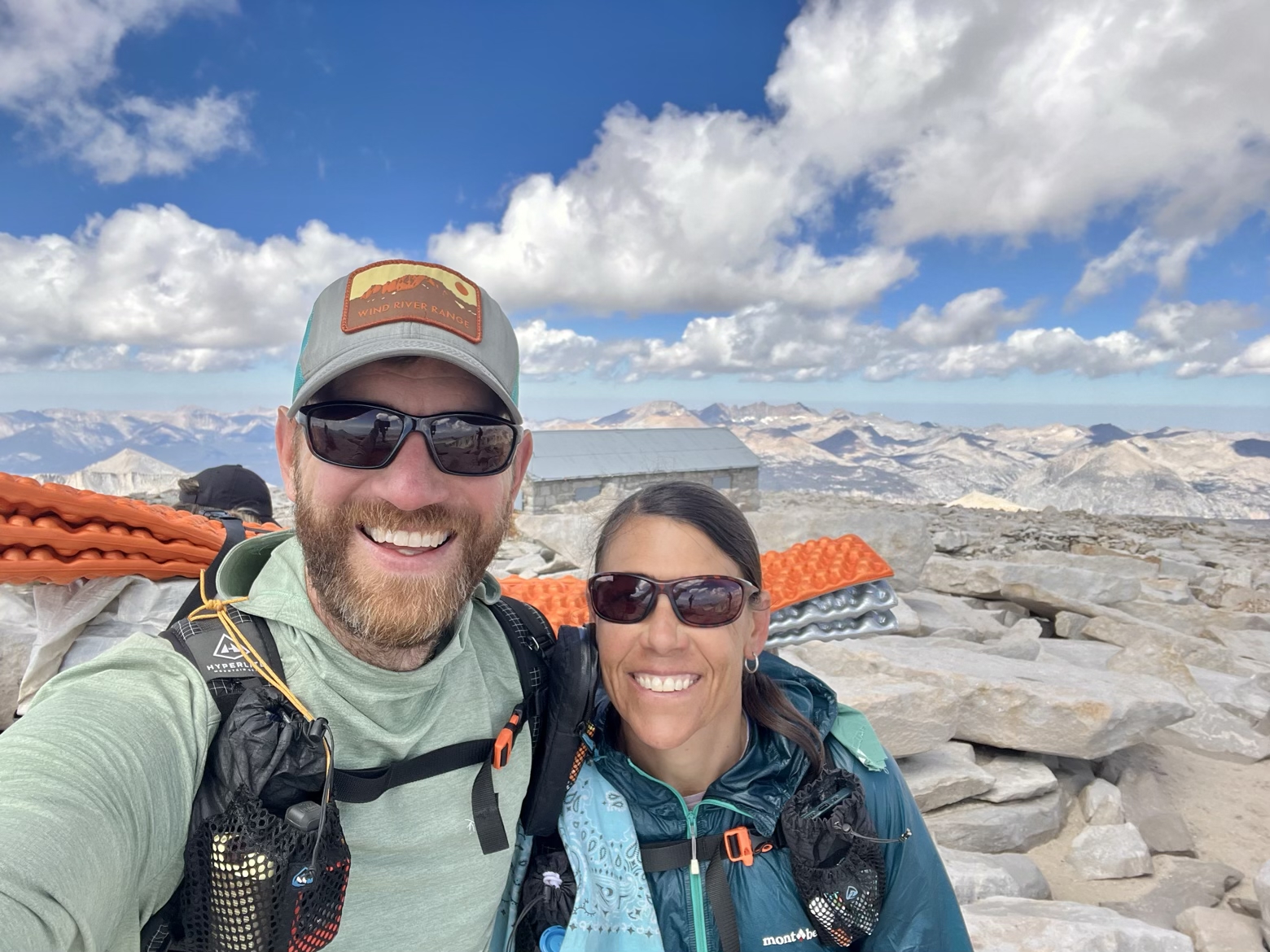
Among our fellow visitors to the southern terminus of the JMT atop Mt. Whitney was a man wearing a cap emblazoned in big letters with “HAPE.” Given our recent Wilderness First Responder training, we looked at each other with the same confusion, wondering why anyone would wear a hat advertising for HAPE—high altitude pulmonary edema—the form of altitude illness that results in the most fatalities. Maybe he was bringing attention to a risk that visitors to this altitude might not be aware of?
As he drew closer, the more obvious explanation became clear as the logo of his hat resolved into its true message: “HOPE.” Yup, that makes more sense.
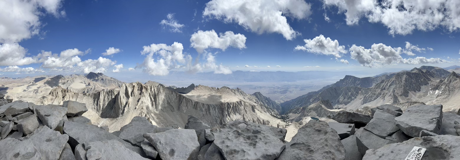
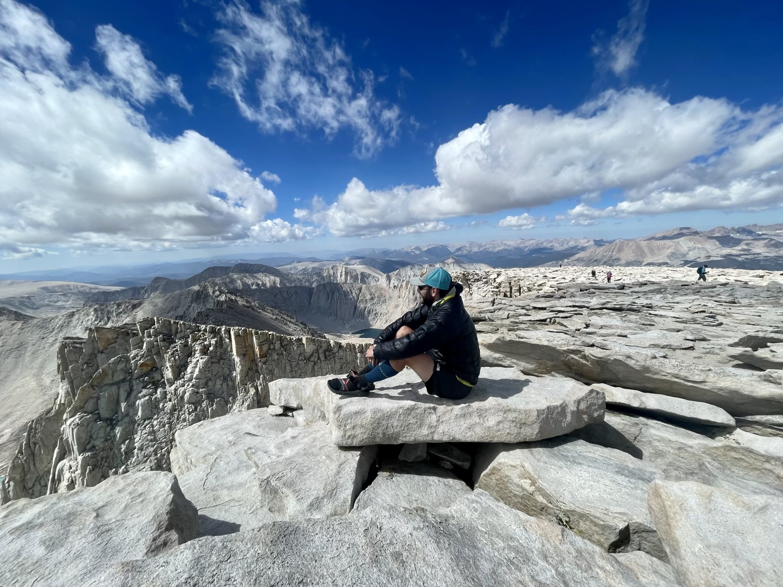
More and more people arrived, each a reminder that while the summit of Whitney might be the official terminus of the John Muir Trail, it comes with a cruel postscript. Far below, at the cusp of where the desert gives way to this mountain paradise, is the trailhead that would officially mark the end of our hike. No less importantly, it would also mark our gateway to real food and a long-overdue shower.
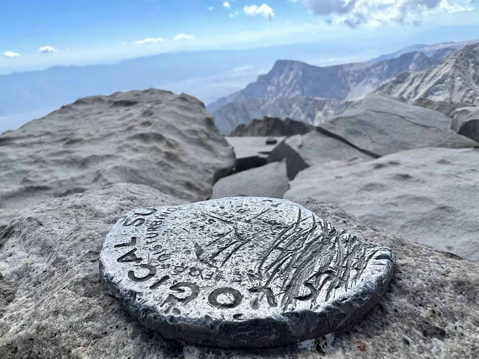
Pausing for one long moment to take in the summit that feels like a now familiar place, I watched others snap photographs next to the summit plaque etched with the name of Josiah Whitney, the onetime chief of the California Geological Survey. I watched, slipping into daydream about all the passes and landscapes defying description that we’d borne witness to on our journey along The People’s Trail.
I wondered if any of them knew the real name of this place, the name given by those who first called these mountains home. The name that predates the Anglo-American “discovery” of this high perch, and the campaign to rename it in the image of our own preferred nostalgia that came with it. The name that came even longer before the push to rename it, yet again, to Mount Winston Churchill. The Paiute name that was perfectly fine all along, except—apparently—for the fact that it had been given by people with a different language and skin tone: Tumanguya.
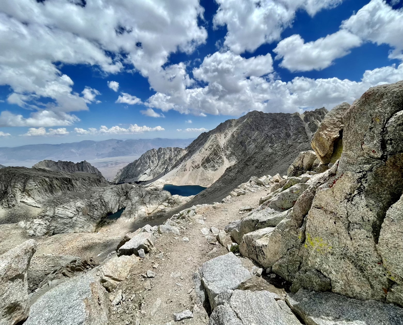
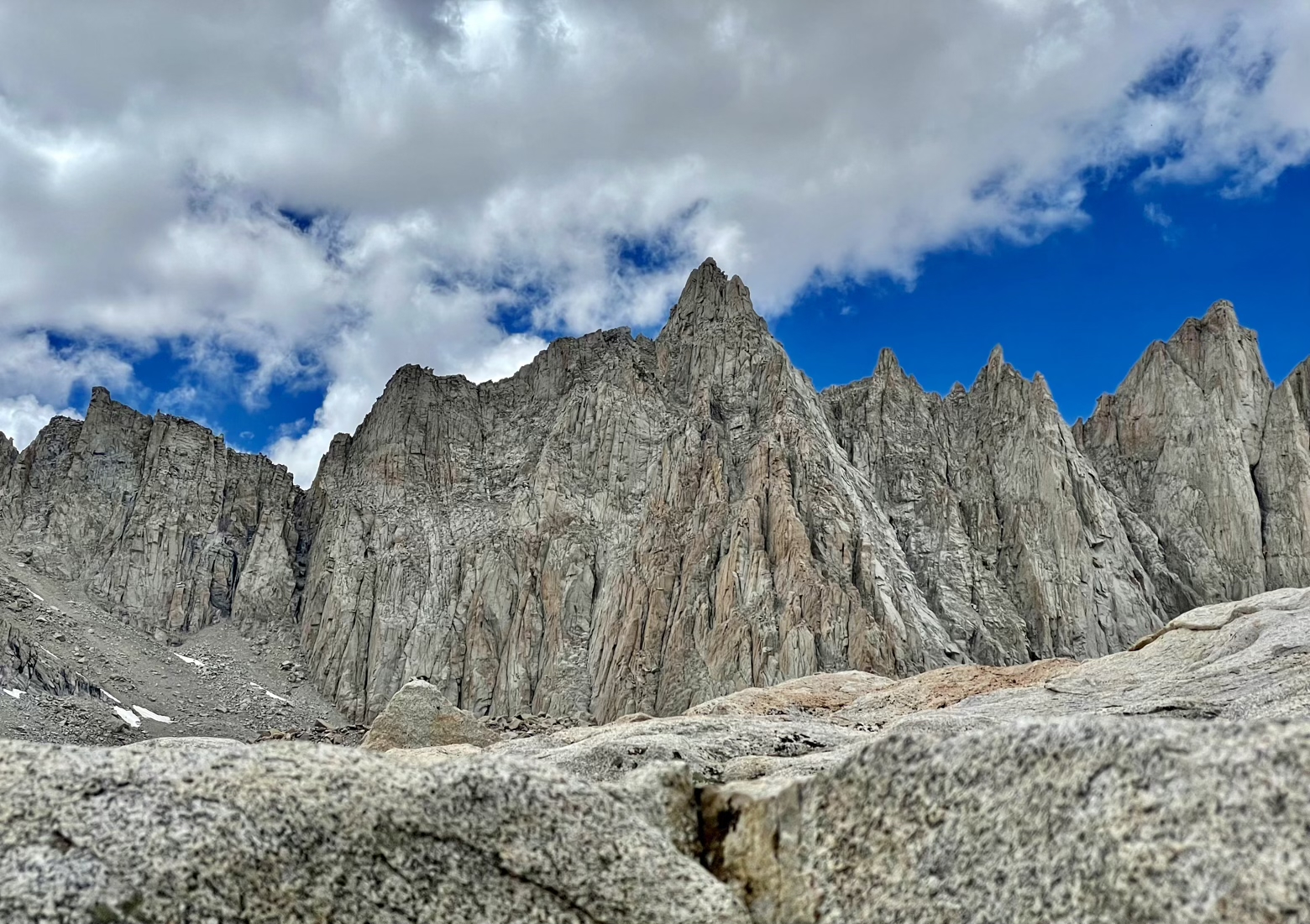
But there would be plenty of time to ruminate on how and why we grow so attached to trivialities like names, while our knees absorbed the shock of the descent that was waiting for us. Back across the summit plateau, onto the sloping shoulder of its western slope, and along the spine of “Needles” we went, reversing the steps that had brought us here. At a narrow gap in this spine, known as Trail Crest, we looked down the John Muir Trail and the switchbacks we’d labored up hours earlier before turning away from it for the last time and starting down a far more elaborate network of switchbacks that seemed never to end.
The distant edge of tree-line seemed only to inch closer as the trail switched back and forth beneath the deep blue sky that was now pried apart by tufts of clouds, providing blissful shade.

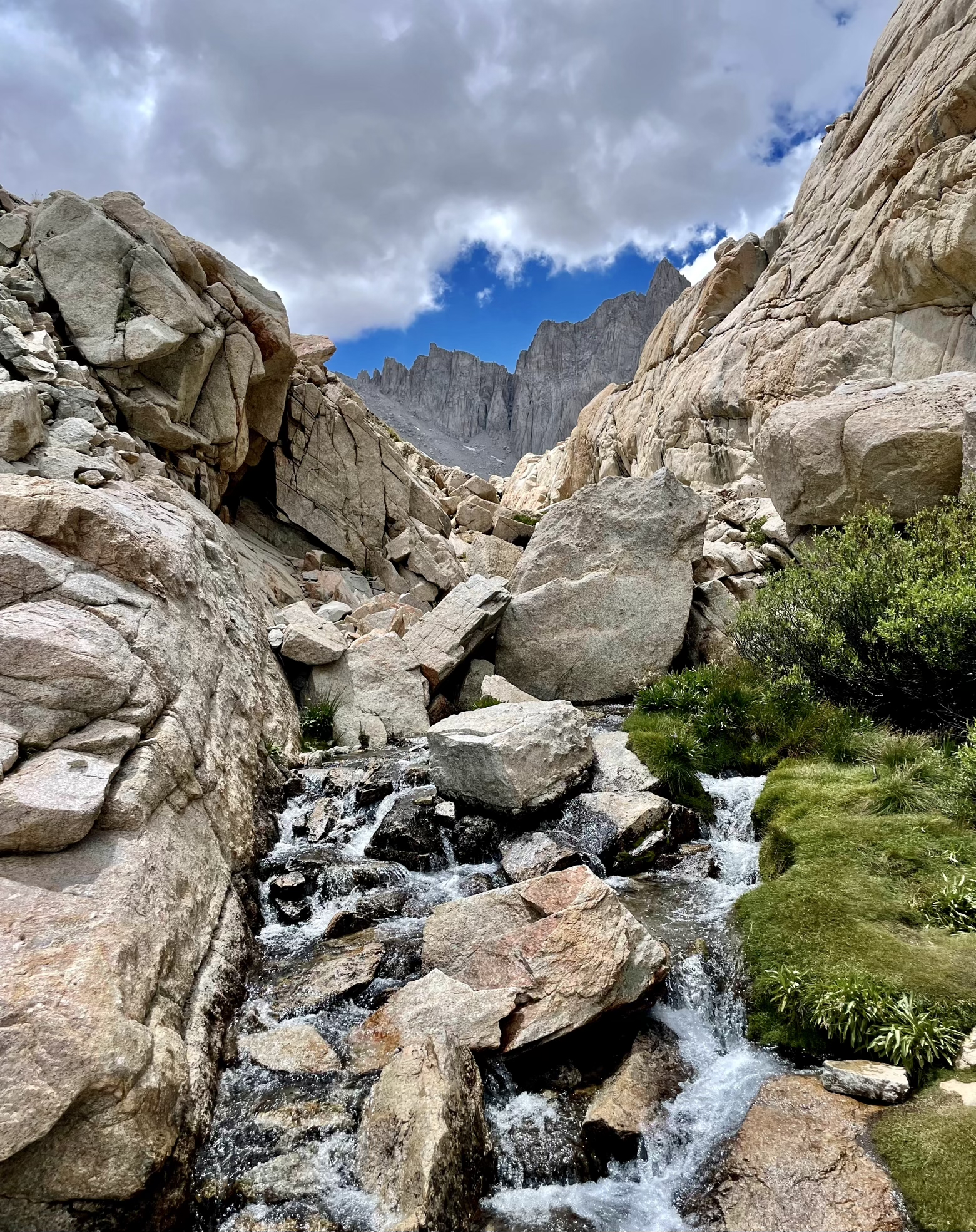
We were salmon swimming against the current of foot traffic heading the other direction, a current so steady that it has turned this stretch of trail—as beautiful as it is—into something far less pristine than it should be. Despite the efforts of a strict permitting system designed to limit the volume of foot traffic ceaselessly plodding towards the ‘prize’ that is the highest point in the lower 48, portions of the trail are littered with all manner of trash, ranging from small flecks of plastic to candy wrappers, discarded pieces of gear, and abandoned plastic “wag bags” of human waste.
Deflating the high of finishing a trail and having experienced some of the world’s most pristine and spectacular scenery up close has never happened so quickly. Except for perhaps 7 years ago, when our previous hike of the JMT ended with the same rude awakening back into an unwelcome reality, and into the complexity of preserving these places in their untouched (and unspoiled) natural splendor.
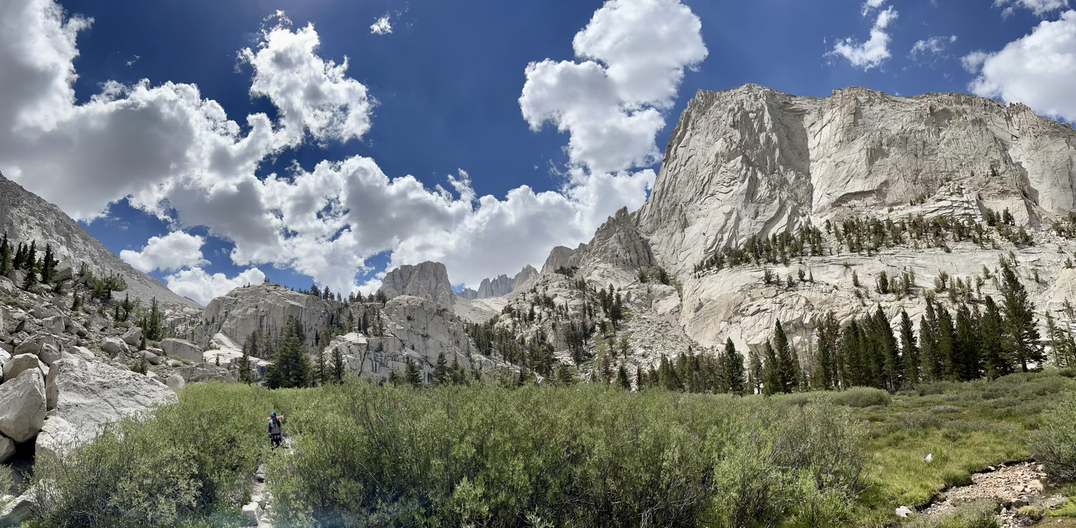
Granite became pine needles, and pine needles became dust before the surface beneath our feet was truly foreign: pavement. Another saunter along the paradise of The People’s Trail behind us, all that was left was a hitch, a shower, a burger, a beer, and a bed…in the 103-degree heat of the Owens Valley that waited far below.
Latitude/Longitude: 36.58688,-118.24014
