Date: 7/18/22
Miles: 18.7
Total Miles: 229.5
The Sierra. The range that has captured the fascination of icons like Ansel Adams and John Muir. Superlatives have been spilled over its incredible beauty, its almost idyllic climate, and the trails that beckon you to explore it ever more deeply. It may best be known as the Range of Light, but to me, it is simply the place where stone meets sky.
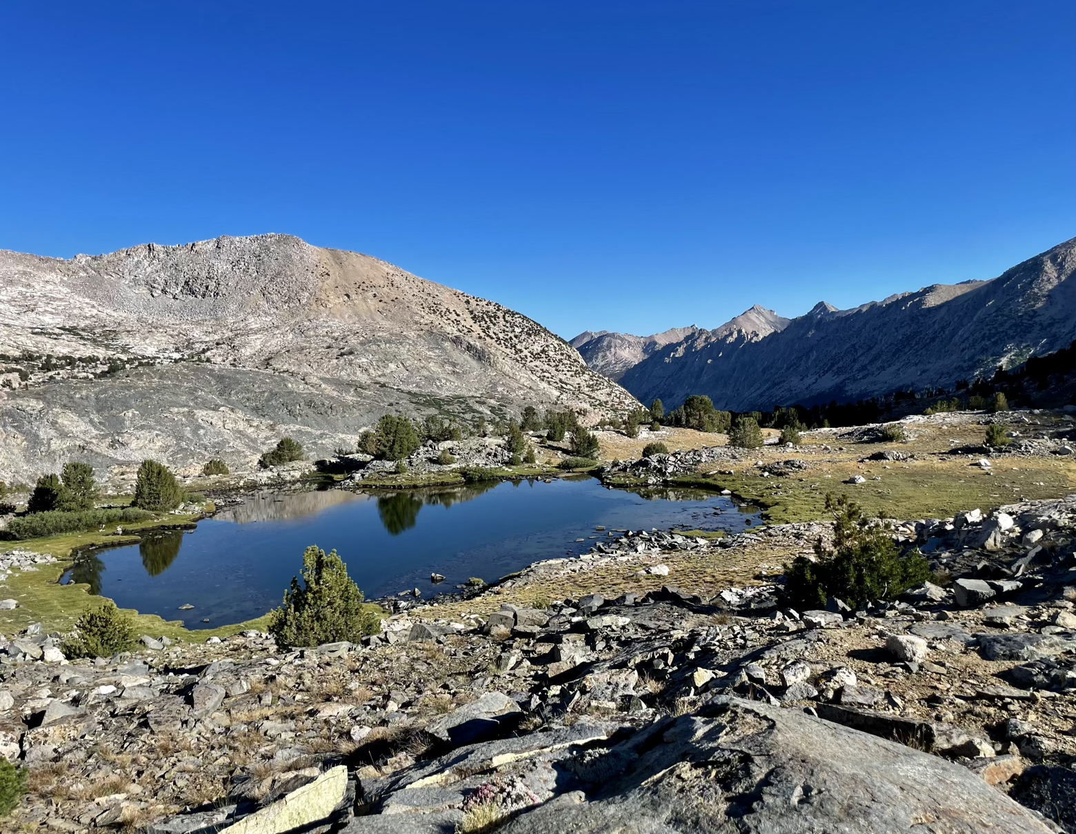
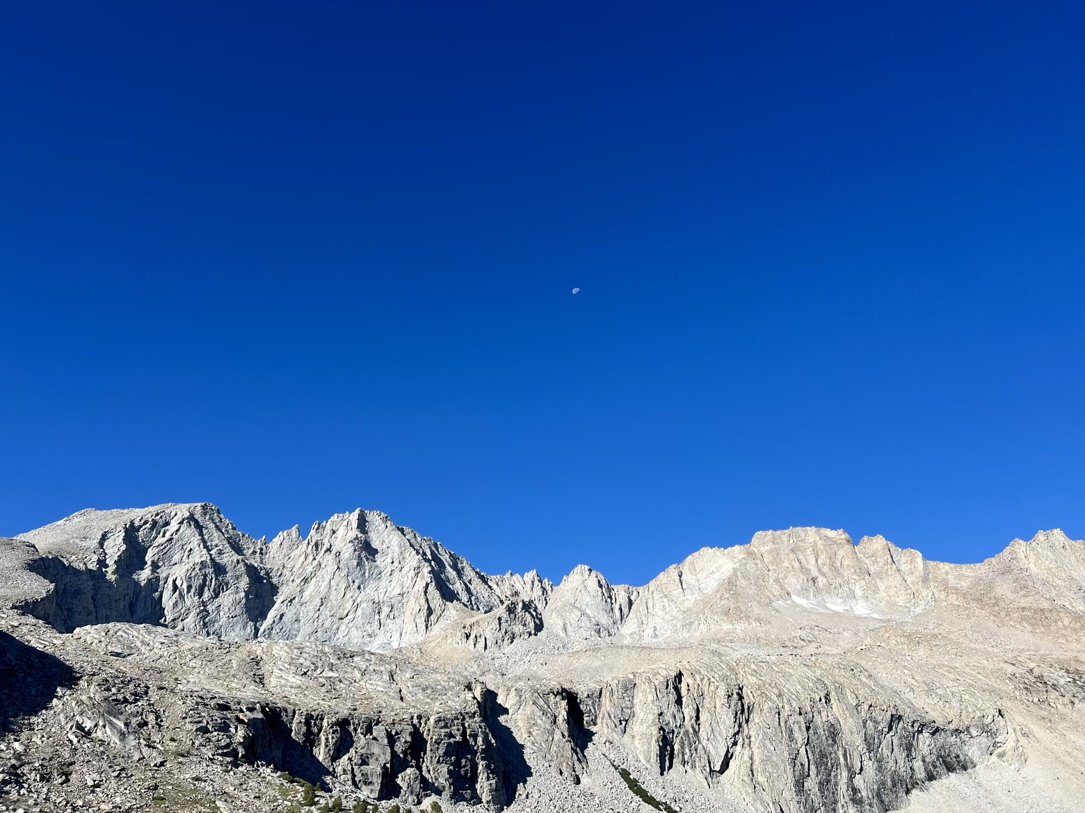
Two years ago, while hiking towards an absolutely stunning portion of the Wind River Range on the Continental Divide Trail, I noted that while the Adirondacks of my northeast roots are in my blood, the Sierra Nevada is in my heart. Nearing the end of another journey on the JMT, I’m no less captivated by them.
And that’s no small feat. It’s hard for anything to live up to lofty memories of the past, some of which may have even grown beyond the bounds of reality in the time since they were formed. Many thousands of trail miles have passed beneath my feet since I last peered deeply into the Sierra, but the impression it leaves is exactly the same.
The simplicity of its beauty—its sea of granite stone beneath a dazzling deep blue sky—is not only what will linger in my dreams long after this trip becomes a new memory, it’s where Stone and Sky draws its name.
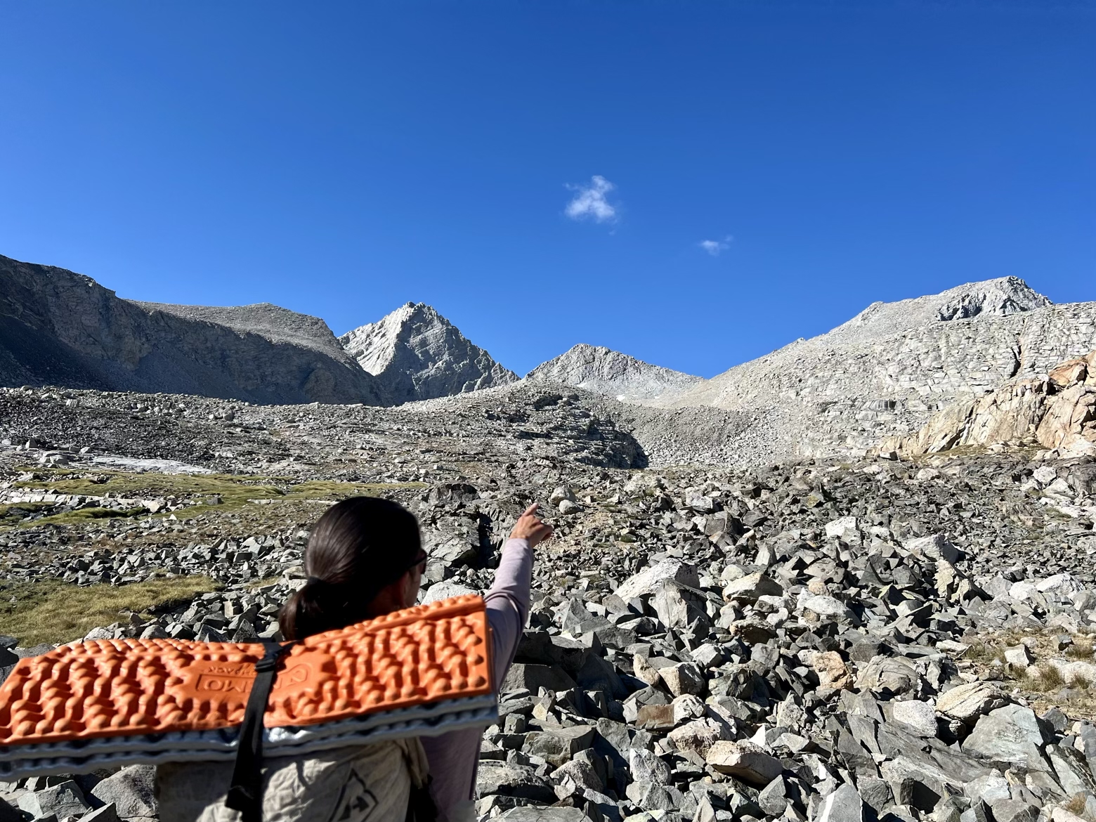
Forester Pass, the 8th and final pass of the John Muir Trail, sat a mere 4 miles from where we struck camp and hit the trail under yet more of that trademark blue Sierra sky. At more than 13,000 feet, the pass marks the high point of the Pacific Crest Trail that has been inseparable from the JMT for the past 160 miles.
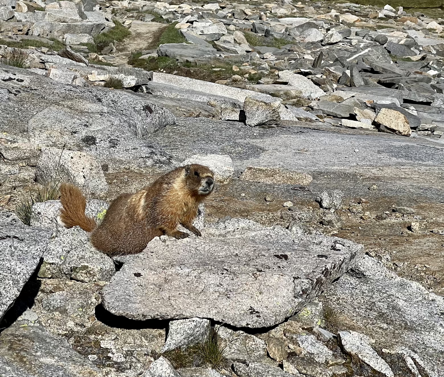
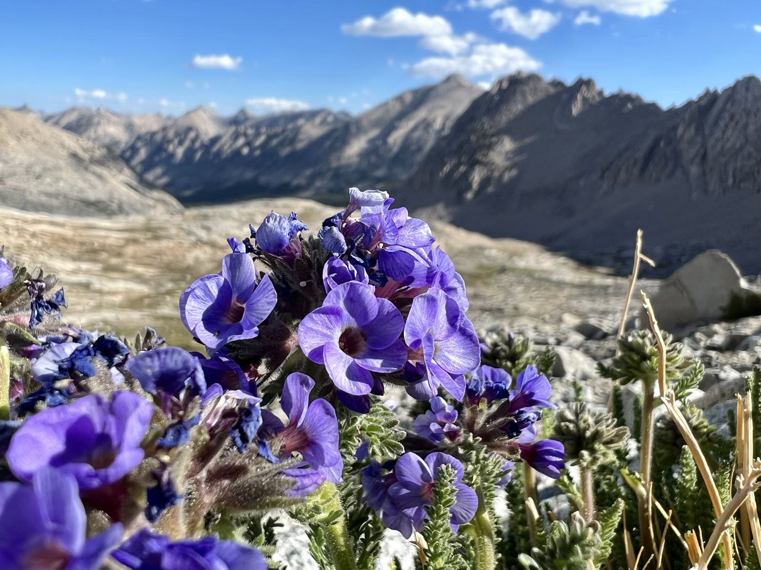
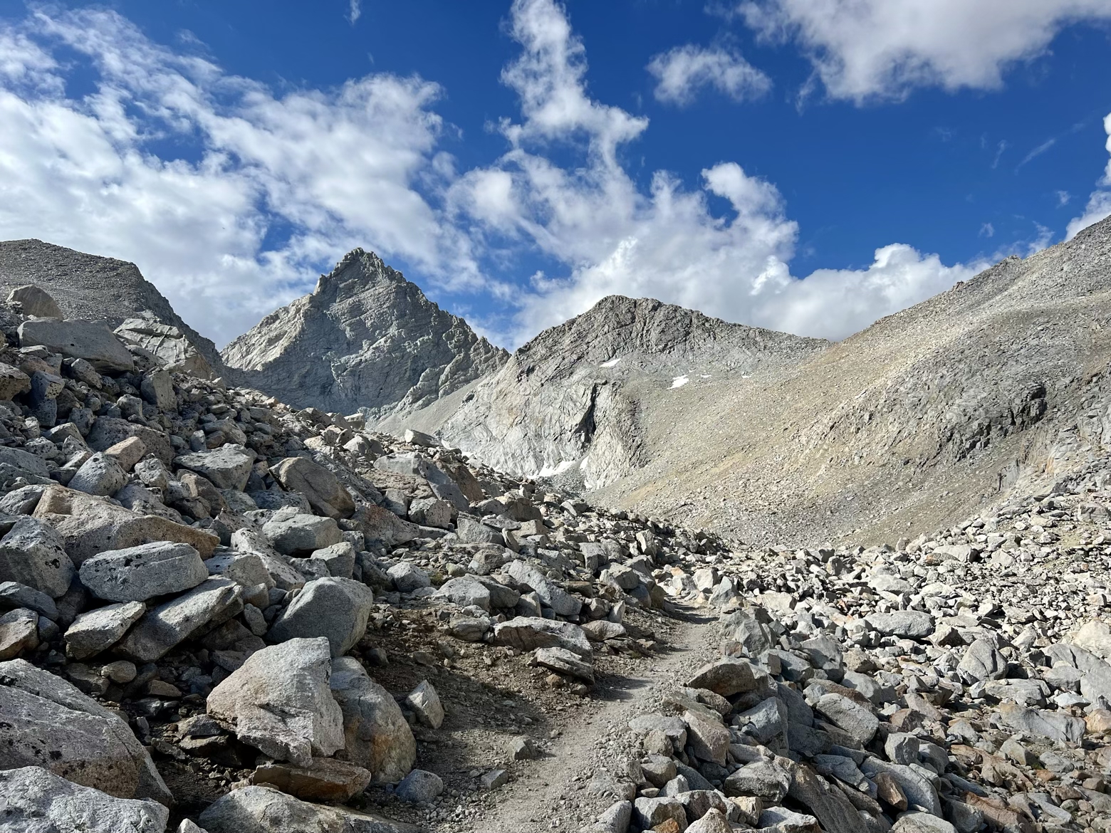
Marmots posing for the camera, new wildflowers we’d yet to see, and a perfectly engineered trail that couldn’t have been more pleasant to climb. That was the recipe for the morning miles that led us ever higher.
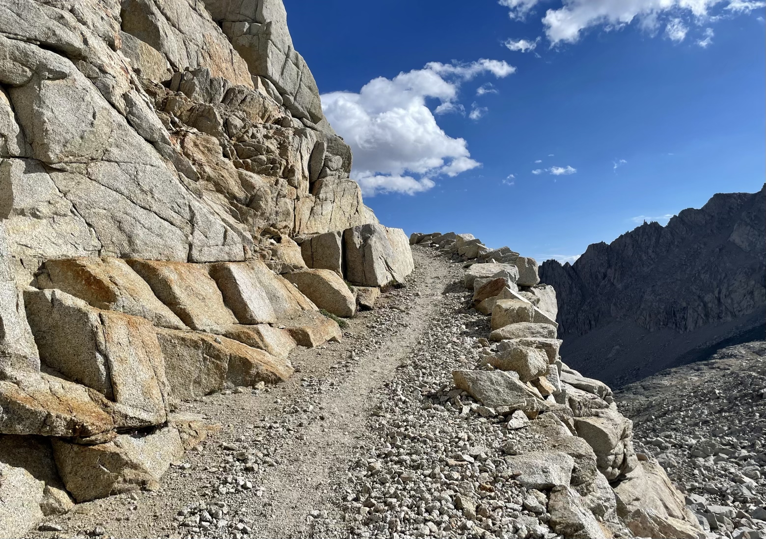
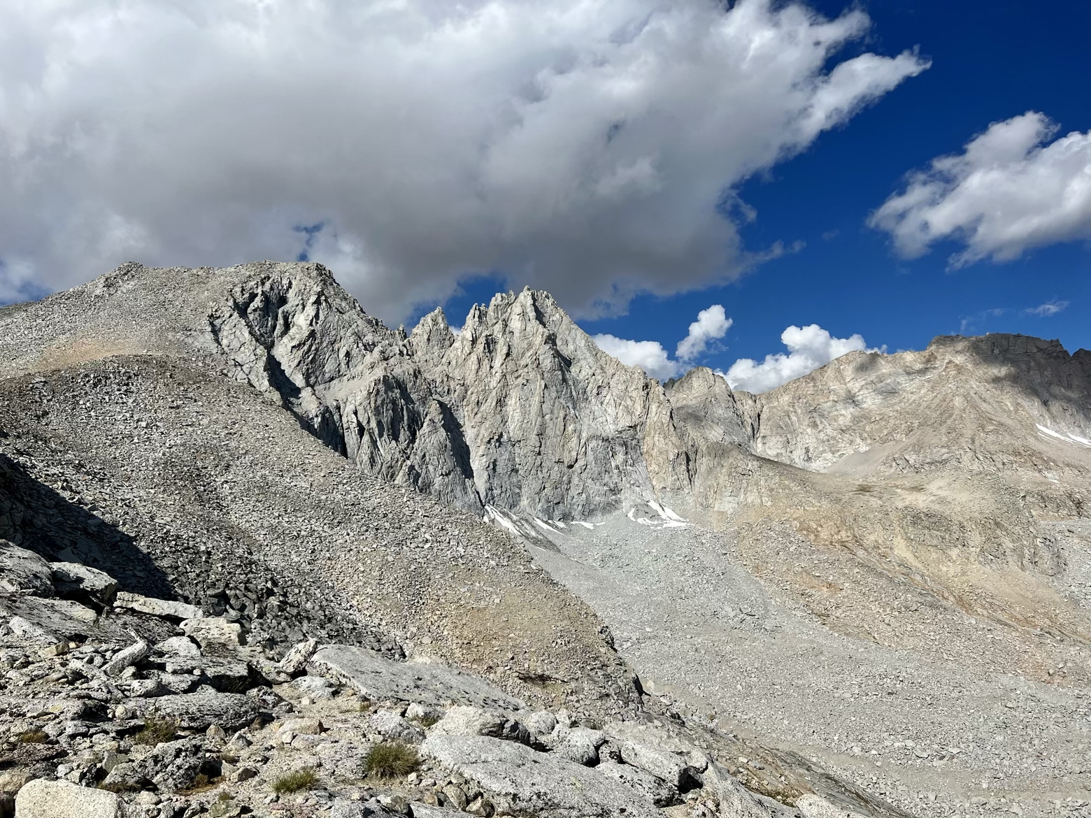
Forester Pass seemed to be less a remote high pass this morning and more a Grand Central Station of hikers coming and going. A tiny notch in the Kings-Kern Divide, the pass itself is easily the smallest of the JMT passes, with perhaps room for only a dozen people who don’t mind standing like they’re on a packed New York City subway car.
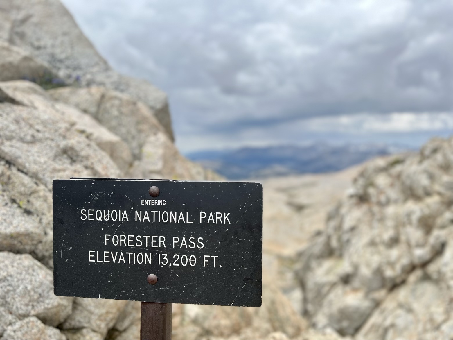
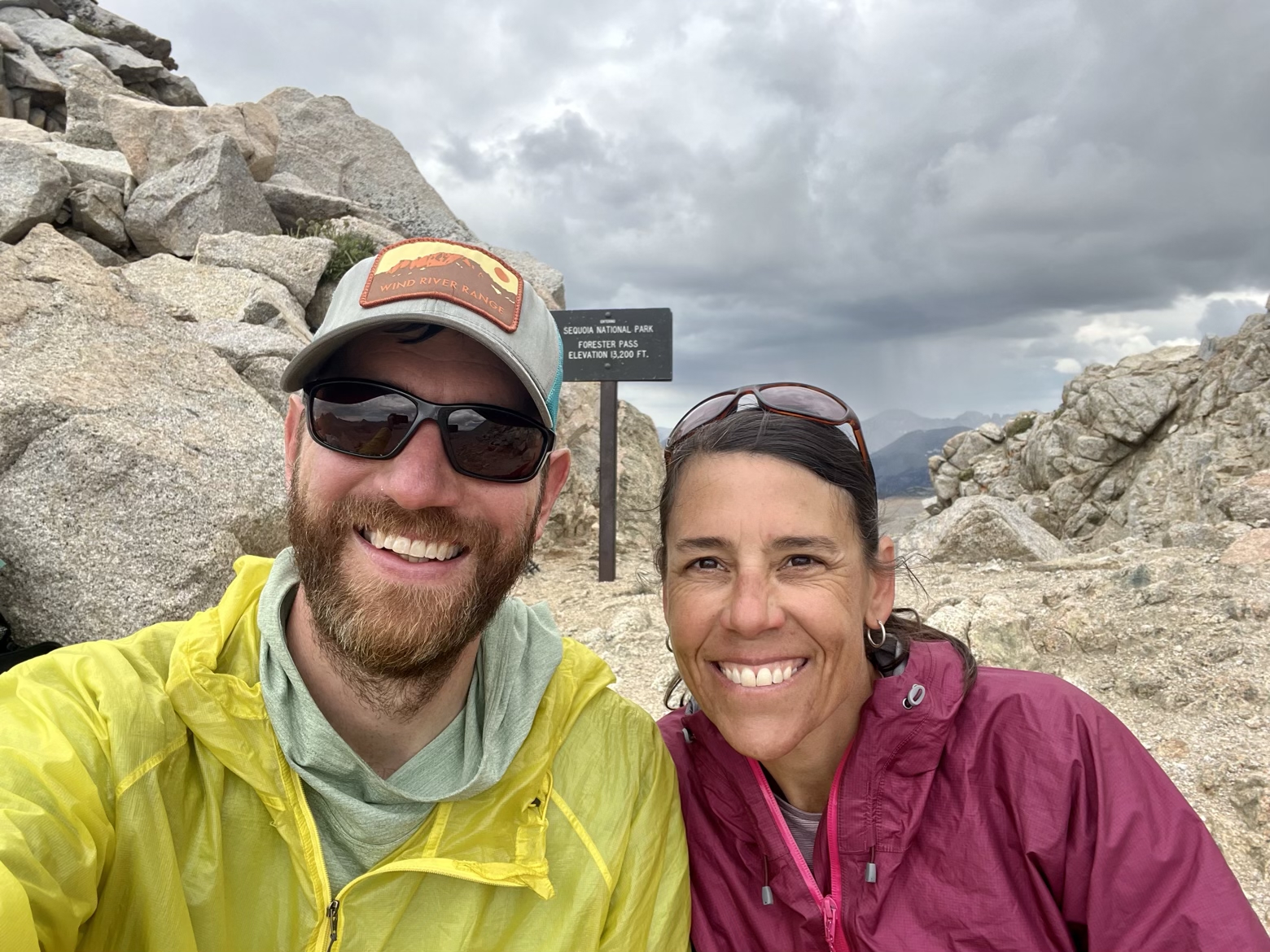
Forester Pass wasn’t even originally part of the John Muir Trail route. Challenging as it was to plot any trail across the treacherous Kings-Kern Divide, it wasn’t until the late stages of the trail’s planning that Forester Pass was presented as a plausible, more direct alternative to the original route that swung to the east over Junction Pass and Shepherd Pass. Descending the south side, and especially when looking back at it from afar, it’s easy to see why it might have taken some time to see this as a navigable route.
Despite taking only a year to complete, the trail down the dizzyingly exposed south face is, like the golden staircase, a monument to trail building. Carved out of a precipitous rock face, imagining it covered in snow and ice is the stuff that nightmares are made of for northbound Pacific Crest Trail thru-hikers.
Constructed way back in 1931, and a pleasure to hike—exposed as it may be—it’s one of the trails I point to whenever hikers believe that rugged trails elsewhere in the country can’t be improved because the terrain is “too rough.”
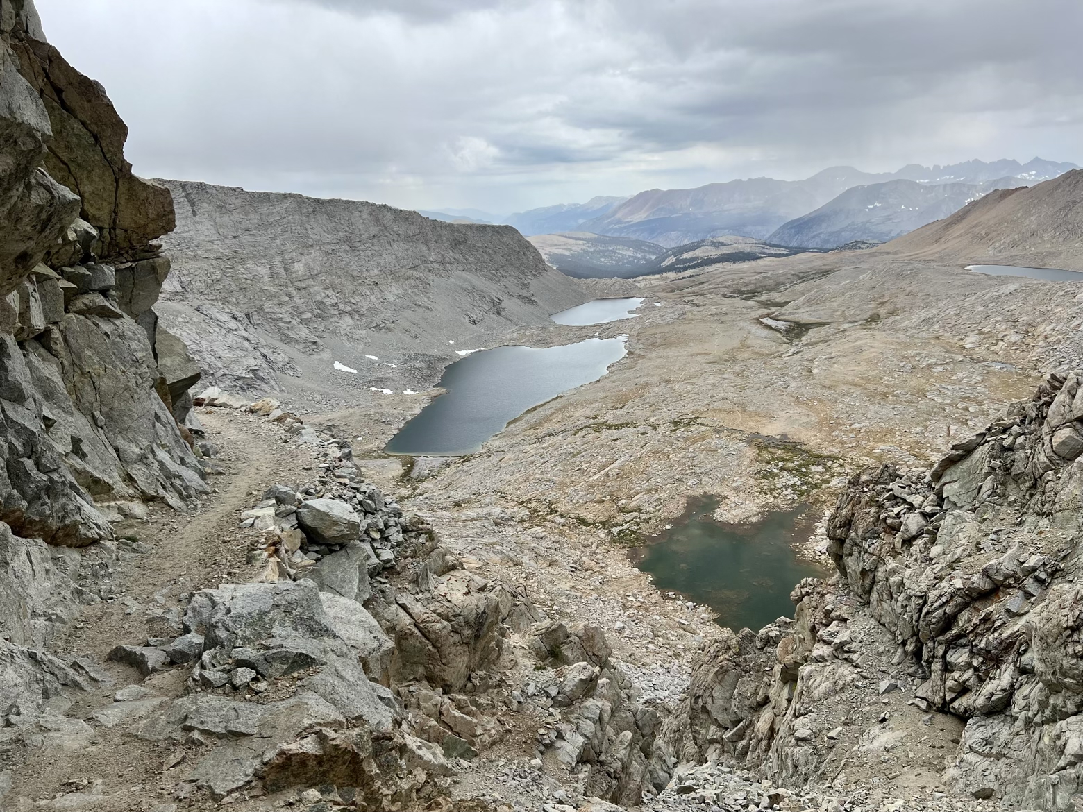
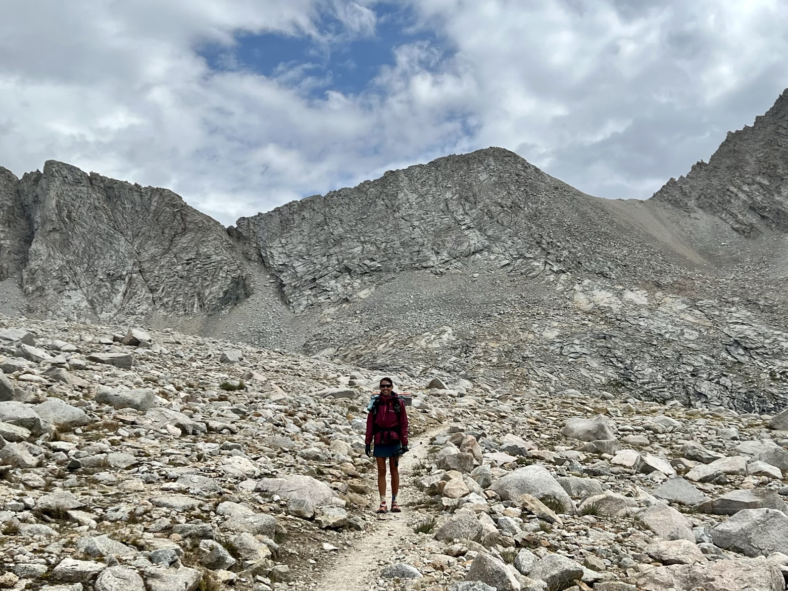
Looking out from the descent of Forester, the clockwork cumulus clouds we’d seen appear in the early afternoon on each of the past few days had decided to wake up earlier than usual. Not 9:30am, and the sky to the south was not only filled with them, but we didn’t like the look in their eyes.
For as predictably sunny as the Sierra tends to be, it’s easy to forget that mountains will still be mountains. Brooding, moody, unpredictable. Even in this typically benign range, it’s still in their DNA.
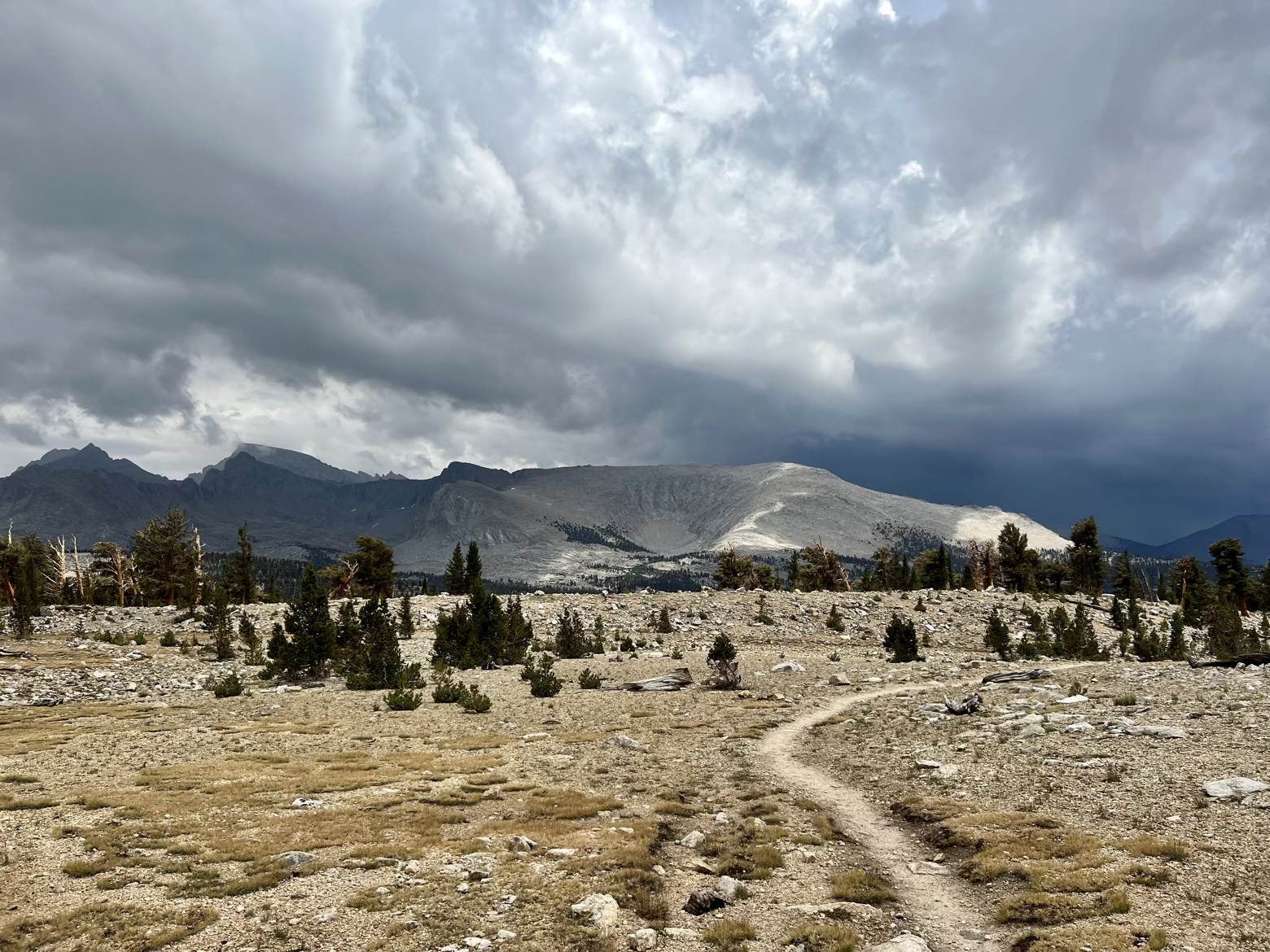
Sure enough, the blackening skies eventually couldn’t resist sharing their moisture with us as the temperature dropped to a fine chill. We pitched a tarp, not once, but twice to ride out the worst of it while hustling down the trail during the lighter showers.

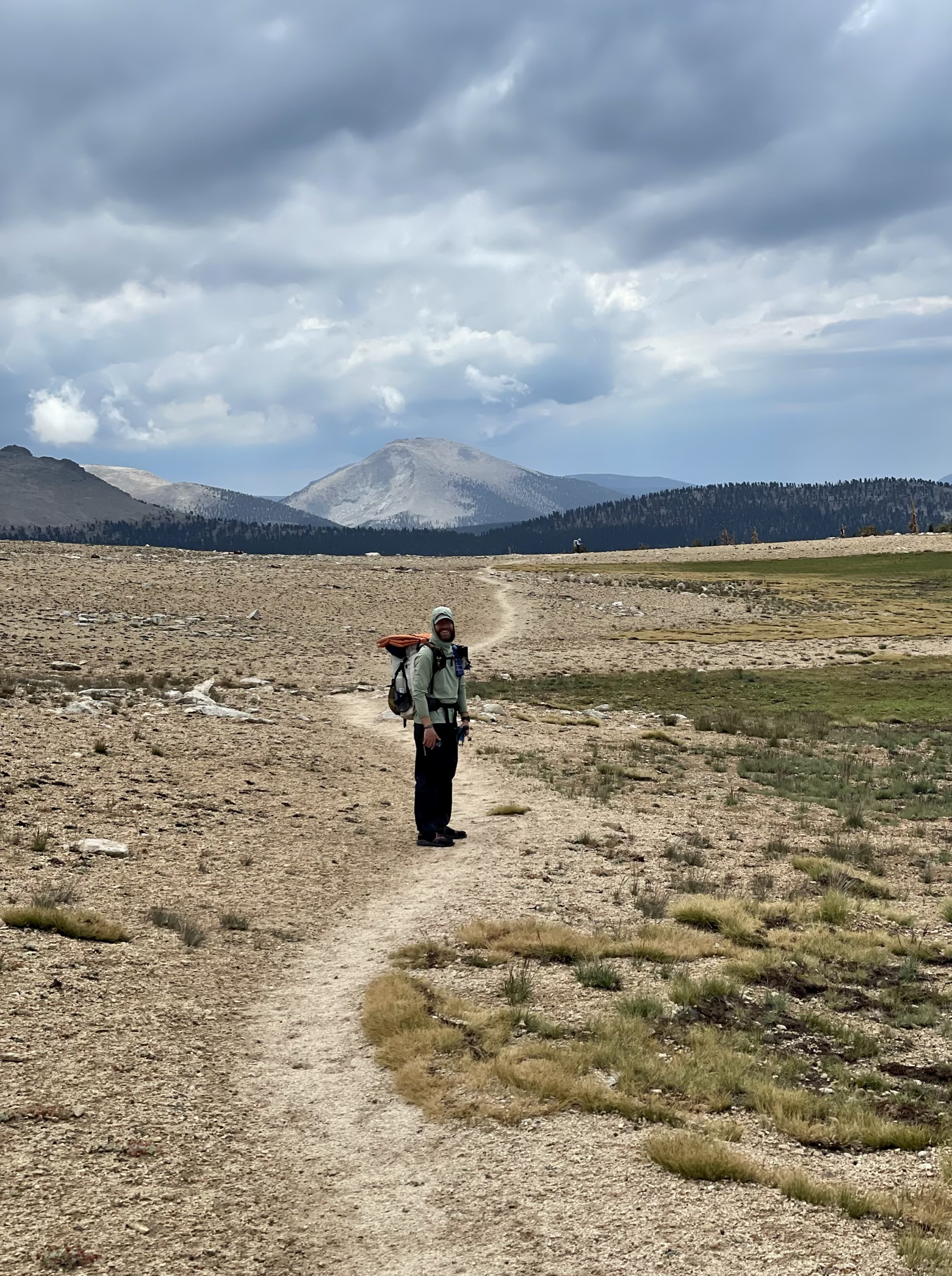
But by the time evening had arrived, the gray skies were slowly losing the battle to the bluer, sunnier shades we’d taken for granted. We said goodbye to the Pacific Crest Trail, as it continued south on its journey to Mexico, while we turned abruptly east to face the final stretch of the John Muir Trail.
Less than 7 miles and a big pile of rocks stand between us and the southern terminus of the trail. One tiny detail: that big pile of rocks just happens to be the tallest peak in the continental U.S. Climbing is definitely in the forecast, hopefully along with sunnier skies.
Latitude/Longitude: 36.56771,-118.34271
