Date: 7/7/18
Miles: 16.9
Total Miles: 72.6
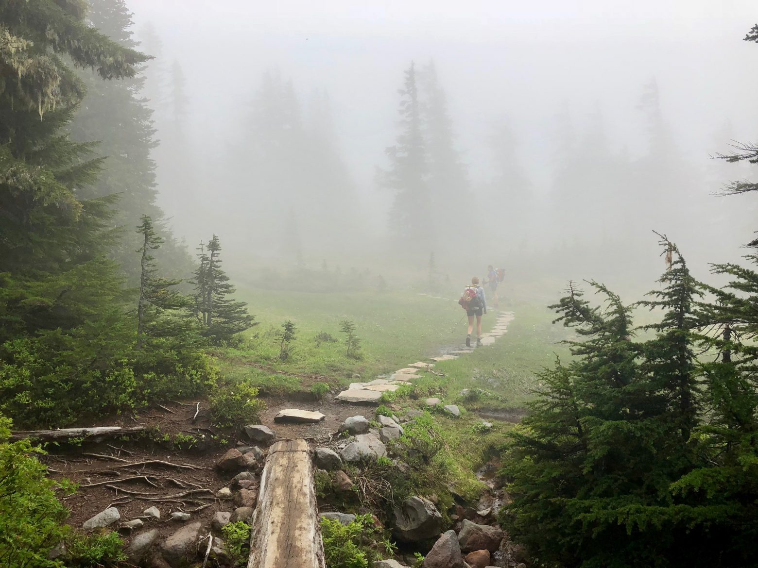
I was getting tired of the view anyway. I mean, how much mountain porn can a person take? Although today was absent the high visual drama of the last three, the lowered ceiling of clouds we walked through for much of the day created a unique atmosphere of curiosity—if the clouds lifted at any moment, what new jaw-dropping view might they reveal?
The day began with a monotonous descent along a never ending series of switchbacks that were almost enough to unwind the effect of the morning coffee and lull me back to sleep. Waiting at the bottom was a ford of the rushing, braided streams of the South Mowich River—there’s nothing like walking through bracingly cold water to shake loose the morning cobwebs. After helping a young solo hiker navigate his first river ford—a knee deep, swiftly moving one, at that—we were delivered to the foot of a climb nearly the mirror image of the one we’d descended: endless switchbacks crawling up the mountain.
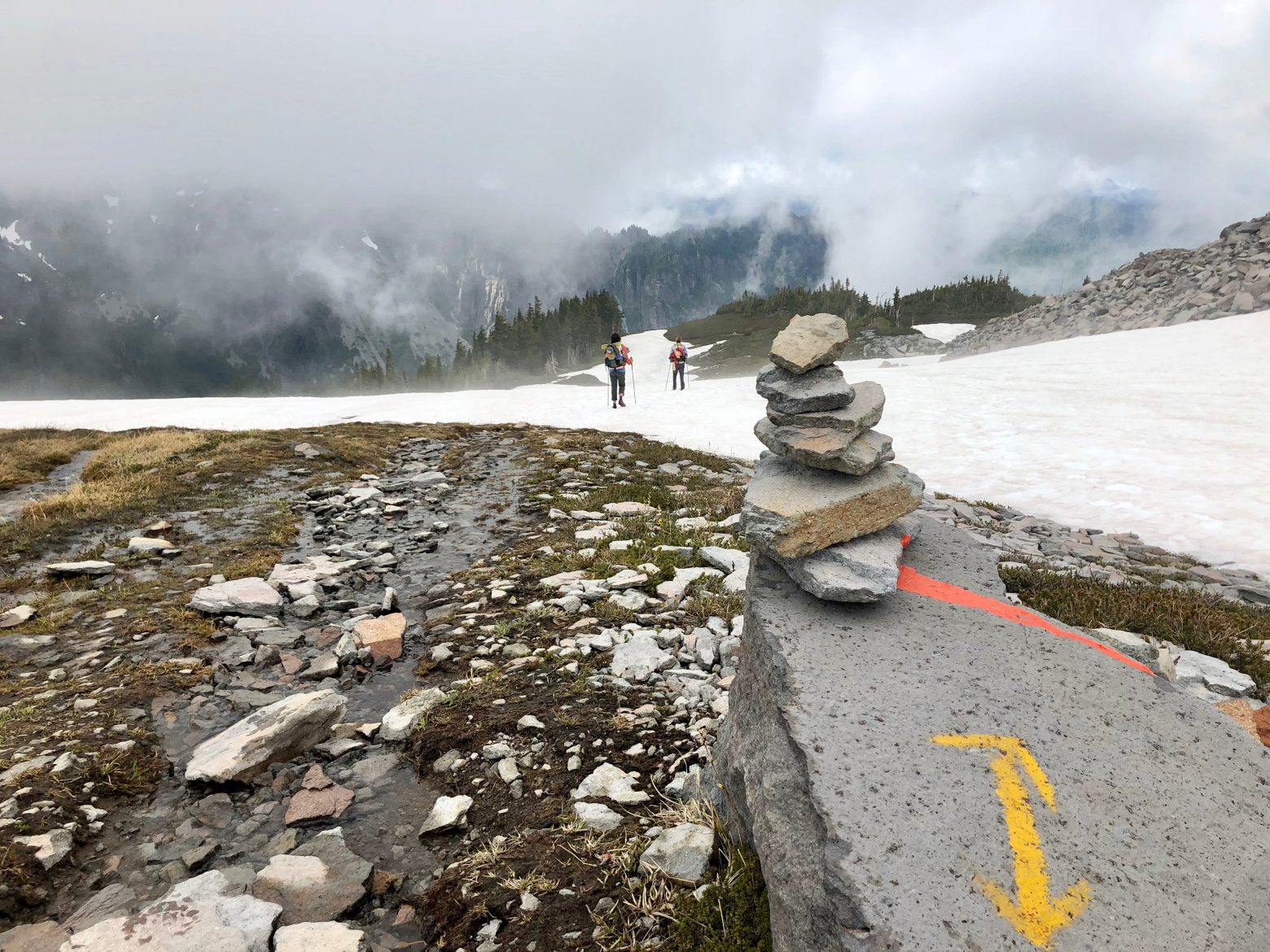
On the past two thru-hikes, I’d taken the official route that follows a somewhat less interesting path around the northwest portion of the loop so this time we decided to take the alternate that instead stays in the high country up through Seattle Park and Spray Park, two expansive systems of alpine meadows with front-row viewing of Rainier on a clear day. Passing the legions of day hikers on this Saturday morning, who must’ve been disappointed to hike in from Mowich Lake only to be deprived of the postcard view, we made our way up into marmot country and by the time the meadows had given way to vast fields of snow the trail was back to being all our own.

The low hanging clouds had seemingly washed the color from the landscape and combined with the snow underfoot, everything took on the silvery cast of old-timey black and white photos.

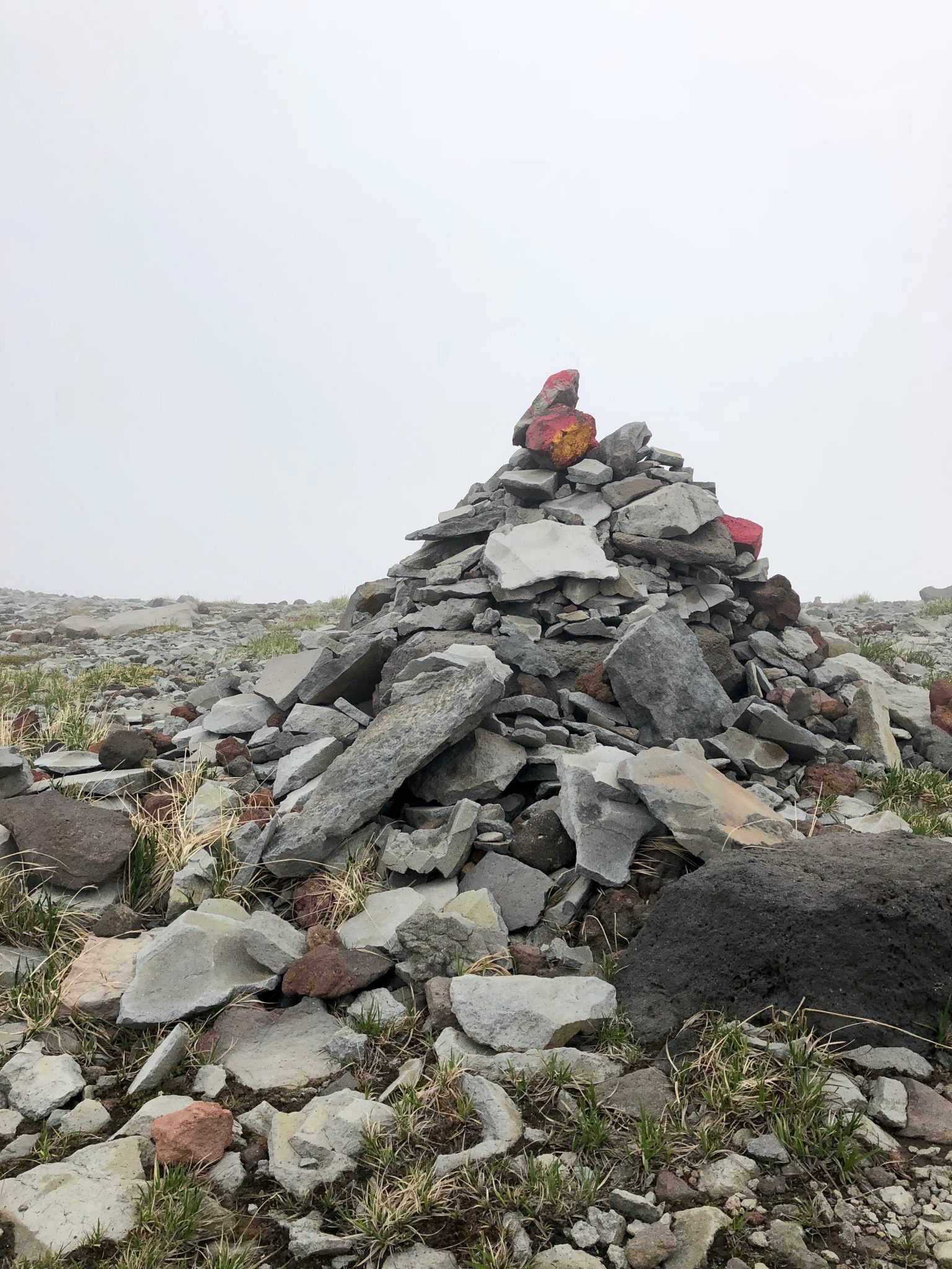
But the upshot of walking through a curtain of cloud cover was that even small pops of color that would have otherwise been overlooked became eye catching, particularly when dotting the top of the oversized rock cairns that were there to guide the way.

Walking through such a cloudscape, there’s plenty of time to ponder all of the sights you know you’re missing out on and as we boot-skied our way down a large snow-filled basin with the occasional pink streak of “watermelon snow”, my mind wandered as it so often does to thoughts of how Mt. Rainier is a study in contrasts. From afar, it has the appearance of permanence and stoicism, impervious to the passage of time. But up close, it is a mountain alive. Grinding glaciers constantly reshaping the land, the sound of tumbling rocks booming from beneath the surface of rivers, and weather shifting seemingly by the minute as the prevailing weather pattern slams into the west side of the mountain, with flora and fauna layered on top of it all.

Our daily pattern of climbing into the alpine only to descend into a new river basin continued as down and down we went on what had to be the steepest portion of the trail thus far until the sound of the small creek that descended with us had begun to widen onto the basin of Carbon River. Devastated by a series of landslides, this portion of the trail had been closed when Emily and I thru-hiked in 2013 and nothing short of superhuman efforts had allowed it to reopen, as evidenced by the massive piles of timber from which the Carbon River campsite had been re-carved. One last cozy hang tonight in my hammock—the first long hike I’ve used it on—before tomorrow’s finale.
